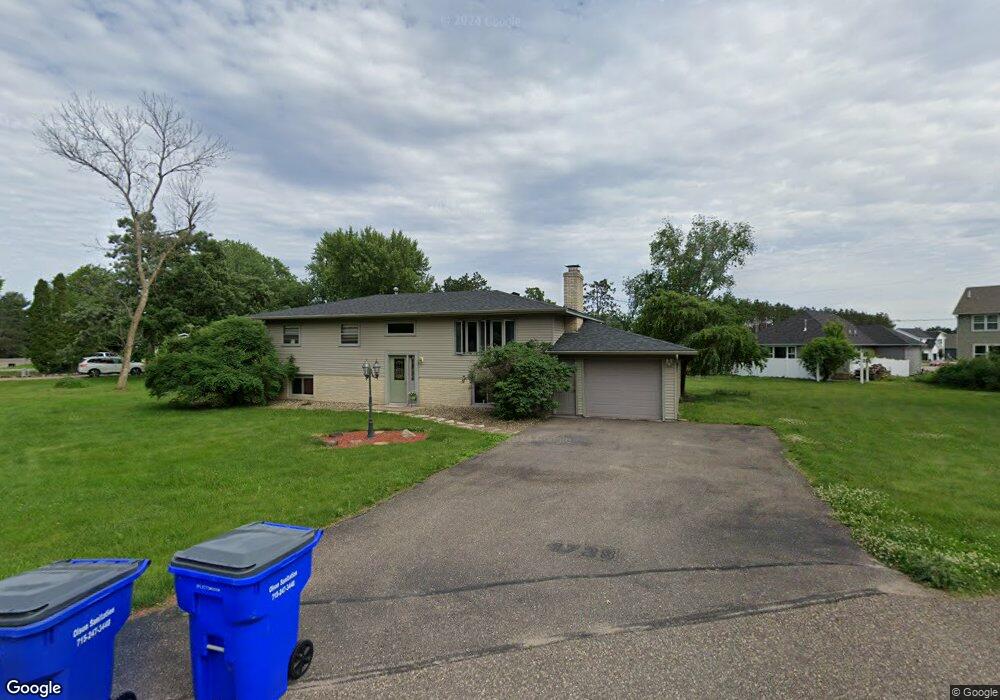
1729 174th Ave New Richmond, WI 54017
Estimated Value: $337,295 - $374,000
4
Beds
2
Baths
--
Sq Ft
0.48
Acres
About This Home
This home is located at 1729 174th Ave, New Richmond, WI 54017 and is currently estimated at $354,324. 1729 174th Ave is a home located in St. Croix County with nearby schools including New Richmond High School and St. Mary School.
Ownership History
Date
Name
Owned For
Owner Type
Purchase Details
Closed on
Jun 4, 2021
Sold by
Copeland Paul E
Bought by
Torres Melvin and Colon Virgen M
Current Estimated Value
Home Financials for this Owner
Home Financials are based on the most recent Mortgage that was taken out on this home.
Original Mortgage
$260,200
Outstanding Balance
$235,579
Interest Rate
2.9%
Mortgage Type
FHA
Estimated Equity
$118,745
Purchase Details
Closed on
Aug 25, 2017
Sold by
Campeau Stacy and Rothe William
Bought by
Copeland Paul F
Home Financials for this Owner
Home Financials are based on the most recent Mortgage that was taken out on this home.
Original Mortgage
$193,900
Interest Rate
3.89%
Mortgage Type
New Conventional
Purchase Details
Closed on
Jan 17, 2017
Sold by
Rothe Gary
Bought by
Campeau Stacy and Rothe Jodi
Create a Home Valuation Report for This Property
The Home Valuation Report is an in-depth analysis detailing your home's value as well as a comparison with similar homes in the area
Home Values in the Area
Average Home Value in this Area
Purchase History
| Date | Buyer | Sale Price | Title Company |
|---|---|---|---|
| Torres Melvin | $265,000 | St Croix County Abstract & T | |
| Copeland Paul F | $199,900 | Burnet Title | |
| Campeau Stacy | -- | None Available |
Source: Public Records
Mortgage History
| Date | Status | Borrower | Loan Amount |
|---|---|---|---|
| Open | Torres Melvin | $260,200 | |
| Previous Owner | Copeland Paul F | $193,900 |
Source: Public Records
Tax History Compared to Growth
Tax History
| Year | Tax Paid | Tax Assessment Tax Assessment Total Assessment is a certain percentage of the fair market value that is determined by local assessors to be the total taxable value of land and additions on the property. | Land | Improvement |
|---|---|---|---|---|
| 2024 | $28 | $236,300 | $25,700 | $210,600 |
| 2023 | $2,606 | $236,300 | $25,700 | $210,600 |
| 2022 | $2,254 | $236,300 | $25,700 | $210,600 |
| 2021 | $2,355 | $236,300 | $25,700 | $210,600 |
| 2020 | $2,578 | $155,100 | $20,900 | $134,200 |
| 2019 | $2,511 | $155,100 | $20,900 | $134,200 |
| 2018 | $2,449 | $155,100 | $20,900 | $134,200 |
| 2017 | $2,377 | $155,100 | $20,900 | $134,200 |
| 2016 | $2,377 | $155,100 | $20,900 | $134,200 |
| 2015 | $2,484 | $155,100 | $20,900 | $134,200 |
| 2014 | $2,389 | $155,100 | $20,900 | $134,200 |
| 2013 | $2,286 | $155,100 | $20,900 | $134,200 |
Source: Public Records
Map
Nearby Homes
- 1418 Bluff Border Rd
- 1705 107th St
- 1176 Carroll St
- 1777 George Norman Dr
- 1561 Creekwood Dr
- 1549 Creekwood Dr
- 1539 Creekwood Dr
- 1787 Saint Andrews Place
- 1513 Creekwood Dr
- Kenny Plan at The Creek at Gloverdale
- Nora Plan at The Creek at Gloverdale
- Hudson Plan at The Creek at Gloverdale
- Aspen Plan at The Creek at Gloverdale
- Alder Plan at The Creek at Gloverdale
- Riley Plan at The Creek at Gloverdale
- Ashlyn Plan at The Creek at Gloverdale
- Sutherland Plan at The Creek at Gloverdale
- Victoria Plan at The Creek at Gloverdale
- Kendall Plan at The Creek at Gloverdale
- Sully Plan at The Creek at Gloverdale