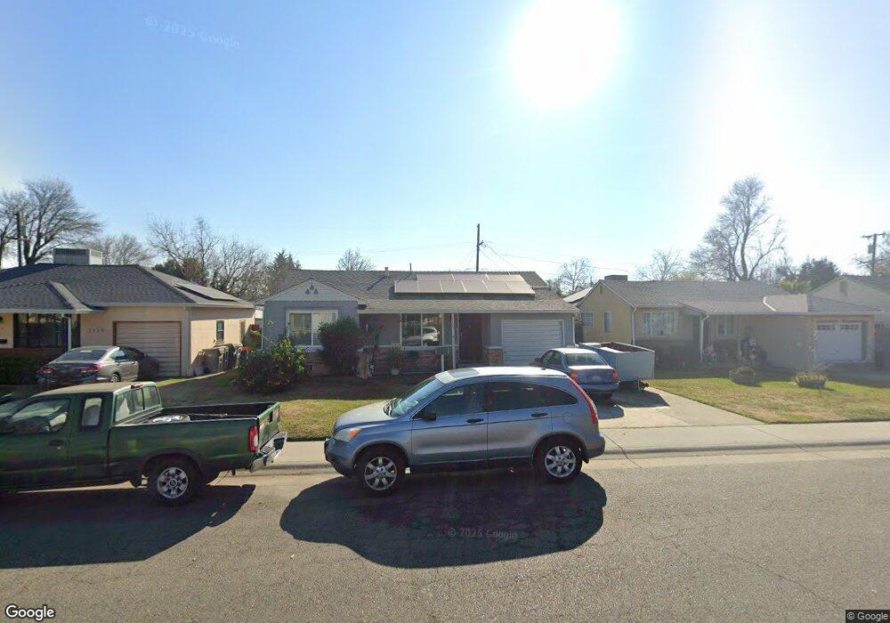
1729 Rockrose Rd West Sacramento, CA 95691
Michigan-Glide-Sutter NeighborhoodEstimated Value: $284,000 - $441,000
2
Beds
1
Bath
1,268
Sq Ft
$304/Sq Ft
Est. Value
About This Home
This home is located at 1729 Rockrose Rd, West Sacramento, CA 95691 and is currently estimated at $385,086, approximately $303 per square foot. 1729 Rockrose Rd is a home located in Yolo County with nearby schools including Westfield Village Elementary School, River City High, and Sacramento Valley Charter School.
Ownership History
Date
Name
Owned For
Owner Type
Purchase Details
Closed on
May 4, 2012
Sold by
Cumings Hershel Wayne
Bought by
Cumings Hershel W and Cumings Dorothy R
Current Estimated Value
Purchase Details
Closed on
Apr 20, 2007
Sold by
Cumings Hershel Wayne
Bought by
Cumings Hershel Wayne
Home Financials for this Owner
Home Financials are based on the most recent Mortgage that was taken out on this home.
Original Mortgage
$40,000
Interest Rate
6.1%
Mortgage Type
New Conventional
Create a Home Valuation Report for This Property
The Home Valuation Report is an in-depth analysis detailing your home's value as well as a comparison with similar homes in the area
Home Values in the Area
Average Home Value in this Area
Purchase History
| Date | Buyer | Sale Price | Title Company |
|---|---|---|---|
| Cumings Hershel W | -- | None Available | |
| Cumings Hershel Wayne | -- | Lsi |
Source: Public Records
Mortgage History
| Date | Status | Borrower | Loan Amount |
|---|---|---|---|
| Closed | Cumings Hershel Wayne | $40,000 |
Source: Public Records
Tax History Compared to Growth
Tax History
| Year | Tax Paid | Tax Assessment Tax Assessment Total Assessment is a certain percentage of the fair market value that is determined by local assessors to be the total taxable value of land and additions on the property. | Land | Improvement |
|---|---|---|---|---|
| 2025 | $708 | $46,949 | $12,575 | $34,374 |
| 2023 | $708 | $45,128 | $12,088 | $33,040 |
| 2022 | $664 | $44,244 | $11,851 | $32,393 |
| 2021 | $655 | $43,377 | $11,619 | $31,758 |
| 2020 | $629 | $42,933 | $11,500 | $31,433 |
| 2019 | $619 | $42,092 | $11,275 | $30,817 |
| 2018 | $606 | $41,267 | $11,054 | $30,213 |
| 2017 | $597 | $40,459 | $10,838 | $29,621 |
| 2016 | $587 | $39,667 | $10,626 | $29,041 |
| 2015 | $518 | $39,072 | $10,467 | $28,605 |
| 2014 | $518 | $38,307 | $10,262 | $28,045 |
Source: Public Records
Map
Nearby Homes
- 1832 Rockrose Rd
- 528 Chaparral Way
- 2000 W Capitol Ave Unit 125
- 431 Poplar Ave
- 417 Westacre Rd Unit 2
- 417 Westacre Rd Unit 22
- 1908 Proctor Ave
- 1925 Willow Ave
- 1050 W Capitol Ave Unit 10
- 1050 W Capitol Ave Unit 33
- 1021 Sycamore Ave
- 1399 Sacramento Ave Unit 44
- 1399 Sacramento Ave
- 1399 Sacramento Ave Unit 21
- 1399 Sacramento Ave Unit 110
- 785 Dolomite Ct
- 830 Pecan St
- 788 Pearlite Ct
- 1043 Park Blvd
- 1020 Fremont Blvd
- 1733 Rockrose Rd
- 1725 Rockrose Rd
- 1737 Rockrose Rd
- 1717 Rockrose Rd
- 1714 Madrone Ave Unit 16
- 1718 Madrone Ave
- 1710 Madrone Ave Unit 12
- 1728 Madrone Ave Unit 30
- 1741 Rockrose Rd
- 1709 Rockrose Rd
- 1728 Rockrose Rd
- 1732 Rockrose Rd
- 1724 Rockrose Rd
- 1706 Madrone Ave Unit 8
- 1736 Madrone Ave Unit 40
- 1736 Rockrose Rd
- 618 Westacre Rd Unit 620
- 1701 Rockrose Rd
- 1708 Rockrose Rd
- 1740 Rockrose Rd