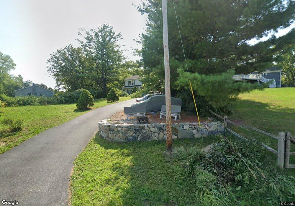
173 Cortlandt St Croton On Hudson, NY 10520
Estimated Value: $602,000 - $685,000
3
Beds
2
Baths
1,560
Sq Ft
$411/Sq Ft
Est. Value
About This Home
This home is located at 173 Cortlandt St, Croton On Hudson, NY 10520 and is currently estimated at $641,687, approximately $411 per square foot. 173 Cortlandt St is a home located in Westchester County with nearby schools including Frank G. Lindsey Elementary School, Blue Mountain Middle School, and Hendrick Hudson High School.
Ownership History
Date
Name
Owned For
Owner Type
Purchase Details
Closed on
Jan 26, 2011
Sold by
Webb Geoffrey P V
Bought by
Simpson Neal E and Simpson Nancy
Current Estimated Value
Home Financials for this Owner
Home Financials are based on the most recent Mortgage that was taken out on this home.
Original Mortgage
$231,280
Outstanding Balance
$159,009
Interest Rate
4.88%
Mortgage Type
New Conventional
Estimated Equity
$482,678
Purchase Details
Closed on
Jun 18, 2009
Sold by
Webb Anthony S
Bought by
Webb Geoffrey P
Purchase Details
Closed on
Feb 3, 1997
Sold by
Webb Anthony S and Webb Geoffrey
Bought by
Webb Anthony S
Purchase Details
Closed on
Oct 14, 1995
Sold by
Webb Anthony S
Bought by
Webb Anthony S and Webb Geoffrey
Create a Home Valuation Report for This Property
The Home Valuation Report is an in-depth analysis detailing your home's value as well as a comparison with similar homes in the area
Home Values in the Area
Average Home Value in this Area
Purchase History
| Date | Buyer | Sale Price | Title Company |
|---|---|---|---|
| Simpson Neal E | $290,000 | Chicago Title Insurance Co | |
| Webb Geoffrey P | -- | None Available | |
| Webb Anthony S | -- | None Available | |
| Webb Anthony S | -- | -- | |
| Webb Anthony S | -- | -- |
Source: Public Records
Mortgage History
| Date | Status | Borrower | Loan Amount |
|---|---|---|---|
| Open | Simpson Neal E | $231,280 |
Source: Public Records
Tax History Compared to Growth
Tax History
| Year | Tax Paid | Tax Assessment Tax Assessment Total Assessment is a certain percentage of the fair market value that is determined by local assessors to be the total taxable value of land and additions on the property. | Land | Improvement |
|---|---|---|---|---|
| 2024 | $10,059 | $5,925 | $950 | $4,975 |
| 2023 | $9,699 | $5,925 | $950 | $4,975 |
| 2022 | $8,295 | $5,925 | $950 | $4,975 |
| 2021 | $8,080 | $5,925 | $950 | $4,975 |
| 2020 | $7,823 | $5,925 | $950 | $4,975 |
| 2019 | $9,240 | $5,925 | $950 | $4,975 |
| 2018 | $7,570 | $5,925 | $950 | $4,975 |
| 2017 | $3,010 | $5,925 | $950 | $4,975 |
| 2016 | $9,010 | $5,925 | $950 | $4,975 |
| 2015 | -- | $5,925 | $950 | $4,975 |
| 2014 | -- | $5,925 | $950 | $4,975 |
| 2013 | -- | $5,925 | $950 | $4,975 |
Source: Public Records
Map
Nearby Homes
- 149 Cortlandt St
- 0 Laurel Hill Rd Unit KEY925925
- 110 Laurel Hill Rd
- 114 Laurel Hill Rd
- 11 Deer Haunt Dr
- 49 Henning Dr
- 23 Meadow Rd
- 12 Scenic Dr Unit K
- 62 Montrose Point Rd
- 13 Scenic Dr Unit U
- 13 Scenic Dr Unit M
- 13 Scenic Dr Unit D
- 14 Scenic Dr Unit 14T
- 5 Robin Ln
- 15 Scenic Dr Unit D
- 15 Scenic Dr Unit E
- 15 Scenic Dr Unit K
- 16 Scenic Dr Unit X
- 16 Scenic Dr Unit S
- 16 Scenic Dr Unit N