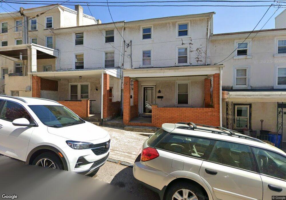
173 Cotton St Philadelphia, PA 19127
Manayunk NeighborhoodEstimated Value: $328,000 - $378,000
--
Bed
--
Bath
1,659
Sq Ft
$215/Sq Ft
Est. Value
About This Home
This home is located at 173 Cotton St, Philadelphia, PA 19127 and is currently estimated at $356,615, approximately $214 per square foot. 173 Cotton St is a home located in Philadelphia County with nearby schools including James Dobson Elementary School, Roxborough High School, and St. John the Baptist School.
Ownership History
Date
Name
Owned For
Owner Type
Purchase Details
Closed on
Dec 9, 2009
Sold by
Suwalski Sophie and Suwalski Henry
Bought by
Gherca Adrian
Current Estimated Value
Home Financials for this Owner
Home Financials are based on the most recent Mortgage that was taken out on this home.
Original Mortgage
$148,000
Outstanding Balance
$97,028
Interest Rate
5%
Mortgage Type
New Conventional
Estimated Equity
$259,587
Create a Home Valuation Report for This Property
The Home Valuation Report is an in-depth analysis detailing your home's value as well as a comparison with similar homes in the area
Home Values in the Area
Average Home Value in this Area
Purchase History
| Date | Buyer | Sale Price | Title Company |
|---|---|---|---|
| Gherca Adrian | $185,000 | None Available |
Source: Public Records
Mortgage History
| Date | Status | Borrower | Loan Amount |
|---|---|---|---|
| Open | Gherca Adrian | $148,000 |
Source: Public Records
Tax History Compared to Growth
Tax History
| Year | Tax Paid | Tax Assessment Tax Assessment Total Assessment is a certain percentage of the fair market value that is determined by local assessors to be the total taxable value of land and additions on the property. | Land | Improvement |
|---|---|---|---|---|
| 2025 | $3,656 | $308,600 | $61,720 | $246,880 |
| 2024 | $3,656 | $308,600 | $61,720 | $246,880 |
| 2023 | $3,656 | $261,200 | $52,240 | $208,960 |
| 2022 | $3,145 | $261,200 | $52,240 | $208,960 |
| 2021 | $3,145 | $0 | $0 | $0 |
| 2020 | $3,145 | $0 | $0 | $0 |
| 2019 | $3,092 | $0 | $0 | $0 |
| 2018 | $2,725 | $0 | $0 | $0 |
| 2017 | $2,725 | $0 | $0 | $0 |
| 2016 | $2,725 | $0 | $0 | $0 |
| 2015 | $2,609 | $0 | $0 | $0 |
| 2014 | -- | $194,700 | $29,832 | $164,868 |
| 2012 | -- | $15,936 | $3,240 | $12,696 |
Source: Public Records
Map
Nearby Homes
- 4275 Silverwood St
- 157 Cotton St
- 171 Cotton St
- 109 Cotton St
- 4203 Main St
- 164 Grape St
- 4305 Terrace St
- 4315 Boone St
- 177 Levering St
- 218 Rector St
- 4313 Fleming St
- 245 Lyceum Ave
- 144 Levering St
- 151 Jamestown St
- 260 Roxborough Ave
- 273 75 Lyceum Ave
- 182 00 Gay St Unit 103
- 182 Gay St Unit 508
- 4127 Terrace St
- 4413 Baker St
- 175 Cotton St
- 177 Cotton St
- 169 Cotton St
- 179 Cotton St
- 167 Cotton St
- 165 Cotton St
- 166 Roxborough Ave
- 163 Cotton St
- 164 Roxborough Ave
- 168 Roxborough Ave
- 162 Roxborough Ave
- 170 Roxborough Ave
- 160 Roxborough Ave
- 161 Cotton St
- 174 Roxborough Ave
- 168 Cotton St
- 172 Roxborough Ave
- 156 Roxborough Ave
- 159 Cotton St
- 166 Cotton St