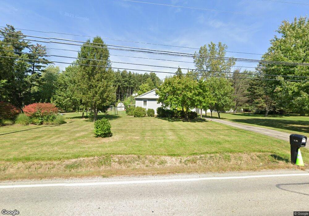
1731 Norton Rd Hudson, OH 44236
Estimated Value: $190,000
--
Bed
1
Bath
--
Sq Ft
0.5
Acres
About This Home
This home is located at 1731 Norton Rd, Hudson, OH 44236 and is currently priced at $190,000. 1731 Norton Rd is a home with nearby schools including Ellsworth Hill Elementary School, East Woods Intermediate School, and Hudson Middle School.
Ownership History
Date
Name
Owned For
Owner Type
Purchase Details
Closed on
Nov 29, 2016
Sold by
Lda Land Group Llc
Bought by
Lda Land Group Llc
Current Estimated Value
Purchase Details
Closed on
May 6, 2013
Sold by
Najjar Suleiman Al
Bought by
Lda Land Group Llc
Purchase Details
Closed on
Oct 24, 2006
Sold by
Herron Theresa M
Bought by
Al Najjar Suleiman and Sehic Mirsada
Home Financials for this Owner
Home Financials are based on the most recent Mortgage that was taken out on this home.
Original Mortgage
$167,000
Interest Rate
6.5%
Mortgage Type
Purchase Money Mortgage
Create a Home Valuation Report for This Property
The Home Valuation Report is an in-depth analysis detailing your home's value as well as a comparison with similar homes in the area
Home Values in the Area
Average Home Value in this Area
Purchase History
| Date | Buyer | Sale Price | Title Company |
|---|---|---|---|
| Lda Land Group Llc | -- | Buckety Reserve Title Agency | |
| Lda Land Group Llc | $127,600 | None Available | |
| Al Najjar Suleiman | $176,000 | The Talon Group |
Source: Public Records
Mortgage History
| Date | Status | Borrower | Loan Amount |
|---|---|---|---|
| Previous Owner | Al Najjar Suleiman | $167,000 |
Source: Public Records
Tax History Compared to Growth
Tax History
| Year | Tax Paid | Tax Assessment Tax Assessment Total Assessment is a certain percentage of the fair market value that is determined by local assessors to be the total taxable value of land and additions on the property. | Land | Improvement |
|---|---|---|---|---|
| 2024 | $3,403 | $71,533 | $21,021 | $50,512 |
| 2023 | $4,187 | $71,533 | $21,021 | $50,512 |
| 2022 | $3,403 | $50,247 | $14,697 | $35,550 |
| 2021 | $3,305 | $50,247 | $14,697 | $35,550 |
| 2020 | $4,009 | $50,250 | $14,700 | $35,550 |
| 2019 | $3,621 | $47,800 | $19,550 | $28,250 |
| 2018 | $3,429 | $47,800 | $19,550 | $28,250 |
| 2017 | $0 | $64,140 | $35,890 | $28,250 |
| 2016 | $0 | $0 | $0 | $0 |
Source: Public Records
Map
Nearby Homes
- 1884 Village Ct Unit X66
- 1620 Sapphire Dr
- V/L Norton Rd
- 1668 Cypress Ct
- 1664 Cypress Ct
- 1525 Spruce Hill Dr
- 5217 Beckett Ridge
- 4891 Cedar Crest Ln
- 4877 Cedar Crest Ln
- V/L Lawnmark Dr
- 4630 Red Willow Rd
- 1627 Cypress Ct
- 1938 Higby Dr
- 1470 Mac Dr
- 1808 Higby Dr Unit A
- 0 Hibbard Dr
- 2327 Crockett Cir
- 2380 Port Williams Dr Unit 2380
- 0 Stow Rd Unit 5102979
- 1590 Amboy Dr
- 1788 E Sapphire Dr
- 1777 Norton Rd
- 1805 Westport Cove
- 1797 Westport Cove
- 1793 Westport Cove
- 1789 Westport Cove
- 1785 Westport Cove
- 1789 Westport Cove Unit 14
- 1809 Westport Cove Unit 1809
- 1813 Westport Cove Unit 7
- 1778 E Sapphire Dr
- 1817 Westport Cove Unit 8
- 1723 Norton Rd
- 1796 Westport Cove Unit 1796
- 1792 Westport Cove
- 1800 Westport Cove
- 1804 Westport Cove
- 1814 Westport Cove
- 1810 Westport Cove
- 1775 Westport Cove