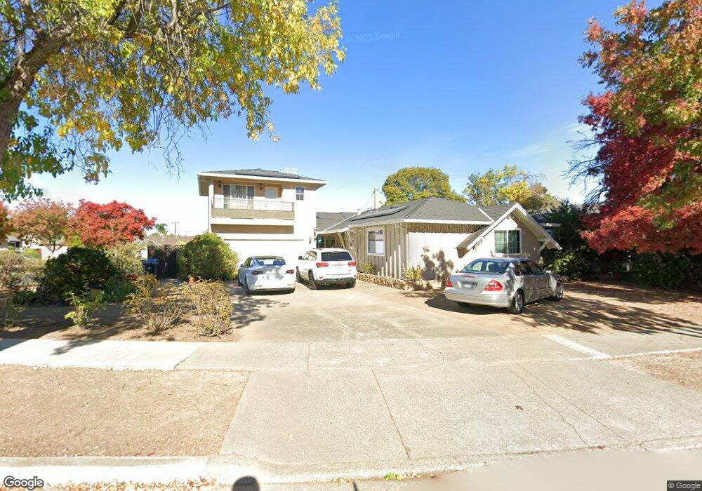
1735 Michon Dr San Jose, CA 95124
De Voss-Leigh NeighborhoodEstimated Value: $1,769,000 - $2,258,000
5
Beds
3
Baths
1,396
Sq Ft
$1,457/Sq Ft
Est. Value
About This Home
This home is located at 1735 Michon Dr, San Jose, CA 95124 and is currently estimated at $2,033,428, approximately $1,456 per square foot. 1735 Michon Dr is a home located in Santa Clara County with nearby schools including Noddin Elementary School, Lietz Elementary School, and Union Middle School.
Ownership History
Date
Name
Owned For
Owner Type
Purchase Details
Closed on
Jan 22, 2002
Sold by
Hutchinson Shirley A and Ramsey Douglas N
Bought by
Bakshi Harshad K and Bakshi Priya
Current Estimated Value
Home Financials for this Owner
Home Financials are based on the most recent Mortgage that was taken out on this home.
Original Mortgage
$348,000
Outstanding Balance
$135,414
Interest Rate
6.37%
Estimated Equity
$1,898,014
Purchase Details
Closed on
Mar 14, 1995
Sold by
Ramsey Howard W and Ramsey Edna D
Bought by
Ramsey Howard W and Ramsey Edna D
Create a Home Valuation Report for This Property
The Home Valuation Report is an in-depth analysis detailing your home's value as well as a comparison with similar homes in the area
Home Values in the Area
Average Home Value in this Area
Purchase History
| Date | Buyer | Sale Price | Title Company |
|---|---|---|---|
| Bakshi Harshad K | $435,000 | Alliance Title Company | |
| Ramsey Howard W | -- | -- |
Source: Public Records
Mortgage History
| Date | Status | Borrower | Loan Amount |
|---|---|---|---|
| Open | Bakshi Harshad K | $348,000 | |
| Closed | Bakshi Harshad K | $43,500 |
Source: Public Records
Tax History Compared to Growth
Tax History
| Year | Tax Paid | Tax Assessment Tax Assessment Total Assessment is a certain percentage of the fair market value that is determined by local assessors to be the total taxable value of land and additions on the property. | Land | Improvement |
|---|---|---|---|---|
| 2025 | $10,951 | $753,616 | $353,361 | $400,255 |
| 2024 | $10,951 | $738,840 | $346,433 | $392,407 |
| 2023 | $10,717 | $724,354 | $339,641 | $384,713 |
| 2022 | $10,504 | $710,152 | $332,982 | $377,170 |
| 2021 | $10,284 | $696,228 | $326,453 | $369,775 |
| 2020 | $10,059 | $689,090 | $323,106 | $365,984 |
| 2019 | $9,877 | $675,579 | $316,771 | $358,808 |
| 2018 | $9,632 | $662,333 | $310,560 | $351,773 |
| 2017 | $9,505 | $649,347 | $304,471 | $344,876 |
| 2016 | $9,062 | $636,615 | $298,501 | $338,114 |
| 2015 | $8,917 | $627,054 | $294,018 | $333,036 |
| 2014 | $8,365 | $614,772 | $288,259 | $326,513 |
Source: Public Records
Map
Nearby Homes
- 0000 Harwood Rd
- 5066 Carter Ave
- 1772 Conrad Ave
- 4843 Pepperwood Way
- 1668 Nora Way
- 1721 Ross Cir
- 1719 Ross Cir
- 1742 Del Paso Ave
- 1796 Chevalier Dr
- 1684 Tupolo Dr
- 4927 Leigh Ave
- 1638 Branham Ln Unit D
- 1705 Blossom Hill Rd
- 4216 Camden Ave
- 1543 Rose Anna Dr
- 4848 Anna Dr
- 4867 Anna Dr
- 1515 Dentona Place
- 1503 Love Ct
- 3942 Paladin Dr
- 1731 Michon Dr
- 4992 Gattucio Dr
- 1727 Michon Dr
- 4999 Gattucio Dr
- 4995 Gattucio Dr
- 4982 Gattucio Dr
- 4991 Gattucio Dr
- 1725 Michon Dr
- 4983 Gattucio Dr
- 4970 Gattucio Dr
- 4975 Rafton Dr
- 4998 Harwood Rd
- 4994 Harwood Rd
- 1721 Michon Dr
- 4967 Rafton Dr
- 4975 Gattucio Dr
- 4988 Harwood Rd
- 5066 Harwood Rd
- 5009 Rafton Dr
- 4980 Harwood Rd