174 Perth Ln Saint Simons Island, GA 31522
Estimated Value: $570,000 - $614,895
--
Bed
--
Bath
--
Sq Ft
2.6
Acres
About This Home
This home is located at 174 Perth Ln, Saint Simons Island, GA 31522 and is currently estimated at $592,448. 174 Perth Ln is a home located in Glynn County with nearby schools including Oglethorpe Point Elementary School, Glynn Middle School, and Glynn Academy.
Ownership History
Date
Name
Owned For
Owner Type
Purchase Details
Closed on
Mar 29, 2024
Sold by
Sparks Bernard C
Bought by
Pikes Bluff Investment Fund Llc
Current Estimated Value
Purchase Details
Closed on
Jul 21, 2021
Sold by
Frederica Development Grp Llc
Bought by
Sparks Bernard C and Sparks Deborah Campbell
Home Financials for this Owner
Home Financials are based on the most recent Mortgage that was taken out on this home.
Original Mortgage
$187,600
Interest Rate
3%
Mortgage Type
Commercial
Create a Home Valuation Report for This Property
The Home Valuation Report is an in-depth analysis detailing your home's value as well as a comparison with similar homes in the area
Home Values in the Area
Average Home Value in this Area
Purchase History
| Date | Buyer | Sale Price | Title Company |
|---|---|---|---|
| Pikes Bluff Investment Fund Llc | $601,600 | -- | |
| Sparks Bernard C | $268,000 | -- |
Source: Public Records
Mortgage History
| Date | Status | Borrower | Loan Amount |
|---|---|---|---|
| Previous Owner | Sparks Bernard C | $187,600 |
Source: Public Records
Tax History Compared to Growth
Tax History
| Year | Tax Paid | Tax Assessment Tax Assessment Total Assessment is a certain percentage of the fair market value that is determined by local assessors to be the total taxable value of land and additions on the property. | Land | Improvement |
|---|---|---|---|---|
| 2025 | $5,327 | $212,400 | $212,400 | $0 |
| 2024 | $4,514 | $180,000 | $180,000 | $0 |
| 2023 | $4,423 | $180,000 | $180,000 | $0 |
| 2022 | $2,688 | $107,200 | $107,200 | $0 |
| 2021 | $2,896 | $112,000 | $112,000 | $0 |
| 2020 | $2,611 | $100,000 | $100,000 | $0 |
| 2019 | $3,655 | $140,000 | $140,000 | $0 |
| 2018 | $3,995 | $153,000 | $153,000 | $0 |
| 2017 | $3,995 | $153,000 | $153,000 | $0 |
| 2016 | $3,672 | $180,000 | $180,000 | $0 |
| 2015 | $3,482 | $180,000 | $180,000 | $0 |
| 2014 | $3,482 | $170,000 | $170,000 | $0 |
Source: Public Records
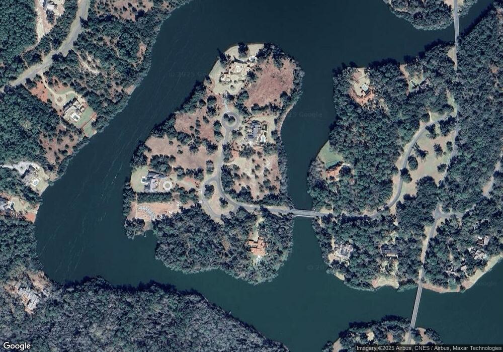
Map
Nearby Homes
- 143 Kirkaldy Ln
- 15 Alford Ln
- 22 Cromley Ct
- 1333 Pikes Bluff Rd
- 1309 Pikes Bluff Rd
- 107 Harris Ln
- 75 Palisade Ln
- 106 Telford Ln
- 160 Harris Ln
- 134 Telford Ln
- 316 Pikes Bluff Dr
- 49 Hatton Ln
- 506 Conservation Dr
- 0 Harwell Dr
- 155 Saint Annies Ln
- 24 Hinchinbrooke Cir
- 105 Hasell Ln
- 127 Village Dr
- 131 Village Dr
- 37 Woodland Way
- 174 Perth Ln Unit (Lot 179)
- 192 Perth Ln
- 163 Perth Ln
- 196 Perth Ln
- 197 Perth (Lot 182) Ln
- 136 Perth Ln
- 23 Cameron Cir
- 23 Cameron Cir Unit (Lot 186)
- 196 Perth (Lot 181) Ln
- 193 Perth Ln
- 187 Perth Ln
- 197 Perth Ln
- 143 Perth Ln
- 116 Perth Lane (Lot 126)
- 116 Perth Ln
- 135 Perth Ln Unit (Lot 191)
- 110 Perth Ln
- 110 Perth Ln
- 104 Perth Ln
- 151 Kirkaldy Ln