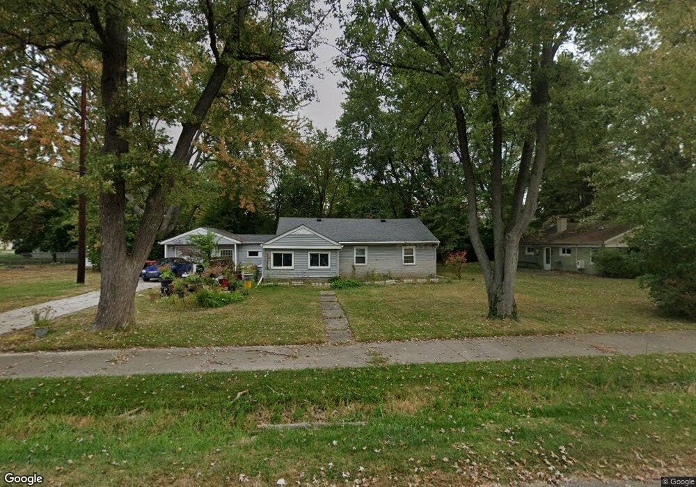
17438 New Hampshire Dr Southfield, MI 48075
Estimated Value: $152,593 - $201,000
--
Bed
1
Bath
884
Sq Ft
$198/Sq Ft
Est. Value
About This Home
This home is located at 17438 New Hampshire Dr, Southfield, MI 48075 and is currently estimated at $174,648, approximately $197 per square foot. 17438 New Hampshire Dr is a home located in Oakland County with nearby schools including Thompson K-8 International Baccalaureate Academy, Dr. Joseph F. Pollack Academic Center Of Excellence, and Children's Technological Academy.
Ownership History
Date
Name
Owned For
Owner Type
Purchase Details
Closed on
Jun 24, 2021
Sold by
Shamsud Din Crystal Benson and Benson Crystal
Bought by
Shamsud Din Crystal A Benson
Current Estimated Value
Home Financials for this Owner
Home Financials are based on the most recent Mortgage that was taken out on this home.
Original Mortgage
$58,000
Outstanding Balance
$52,561
Interest Rate
2.96%
Mortgage Type
New Conventional
Estimated Equity
$122,087
Purchase Details
Closed on
Jul 27, 1999
Sold by
Baylor Limited
Bought by
Benson Crystal
Purchase Details
Closed on
Dec 17, 1997
Sold by
Jenkins William N
Bought by
Baylor Limited
Create a Home Valuation Report for This Property
The Home Valuation Report is an in-depth analysis detailing your home's value as well as a comparison with similar homes in the area
Home Values in the Area
Average Home Value in this Area
Purchase History
| Date | Buyer | Sale Price | Title Company |
|---|---|---|---|
| Shamsud Din Crystal A Benson | -- | First American Title | |
| Benson Crystal | $75,000 | -- | |
| Baylor Limited | $25,000 | -- |
Source: Public Records
Mortgage History
| Date | Status | Borrower | Loan Amount |
|---|---|---|---|
| Open | Shamsud Din Crystal A Benson | $58,000 |
Source: Public Records
Tax History Compared to Growth
Tax History
| Year | Tax Paid | Tax Assessment Tax Assessment Total Assessment is a certain percentage of the fair market value that is determined by local assessors to be the total taxable value of land and additions on the property. | Land | Improvement |
|---|---|---|---|---|
| 2022 | $1,597 | $53,020 | $15,050 | $37,970 |
| 2021 | $1,584 | $51,810 | $15,050 | $36,760 |
| 2020 | $1,392 | $40,420 | $12,670 | $27,750 |
| 2018 | $1,640 | $36,190 | $12,670 | $23,520 |
| 2015 | -- | $27,090 | $0 | $0 |
| 2014 | -- | $23,170 | $0 | $0 |
| 2011 | -- | $23,550 | $0 | $0 |
Source: Public Records
Map
Nearby Homes
- 17251 Lee St
- 17400 George Washington Dr
- 17245 Lee St
- 17725 George Washington Dr
- 24053 Lathrup Blvd
- 25070 Sherwood Cir
- 17316 Mount Vernon St
- 17573 Mount Vernon St
- 16218 Addison St
- 25131 Prairie Dr
- 18444 Addison Dr
- 16221 Pennsylvania St
- 18216 Filmore St
- 15659 Addison St
- 15640 Arbor Place
- 15918 Mount Vernon St
- 17305 Gateway Cir Unit 6
- 17155 Lincoln Dr
- 25640 Grand Concourse St
- 18495 Adrian St
- 17414 New Hampshire Dr
- 17427 George Washington Dr
- 24620 Lathrup Blvd
- 17400 New Hampshire Dr
- 17391 George Washington Dr
- 17439 New Hampshire Dr
- 17409 New Hampshire Dr
- 17475 New Hampshire Dr
- 17355 George Washington Dr
- 17285 Lee St
- 17280 Lee St
- 24534 Lathrup Blvd Unit Bldg-Unit
- 24534 Lathrup Blvd
- 17280 Anna St
- 17260 Lee St
- 17440 George Washington Dr
- 17450 Stratford Dr
- 17410 Stratford Dr
- 24710 Lathrup Blvd
- 17285 Richard St