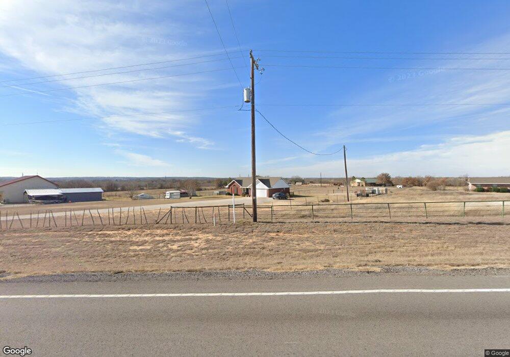
17463 Fm 920 Poolville, TX 76487
Estimated Value: $312,049 - $528,000
--
Bed
--
Bath
1,221
Sq Ft
$355/Sq Ft
Est. Value
About This Home
This home is located at 17463 Fm 920, Poolville, TX 76487 and is currently estimated at $433,262, approximately $354 per square foot. 17463 Fm 920 is a home located in Parker County with nearby schools including Poolville Elementary School, Poolville J High School, and Poolville High School.
Ownership History
Date
Name
Owned For
Owner Type
Purchase Details
Closed on
May 18, 2018
Sold by
Gammill Royce Don and Gammill Katherine N
Bought by
Kirkpatrick Resources Llc
Current Estimated Value
Purchase Details
Closed on
May 4, 2007
Sold by
Nelson Jason and Nelson Jennifer R
Bought by
Gammill Toby and Gammill Misty A
Home Financials for this Owner
Home Financials are based on the most recent Mortgage that was taken out on this home.
Original Mortgage
$118,900
Interest Rate
6.5%
Mortgage Type
New Conventional
Purchase Details
Closed on
Feb 17, 1999
Bought by
Gammill Toby and Gammill Misty A
Create a Home Valuation Report for This Property
The Home Valuation Report is an in-depth analysis detailing your home's value as well as a comparison with similar homes in the area
Home Values in the Area
Average Home Value in this Area
Purchase History
| Date | Buyer | Sale Price | Title Company |
|---|---|---|---|
| Kirkpatrick Resources Llc | -- | Stewart Title | |
| Gammill Toby | -- | None Available | |
| Gammill Toby | -- | -- |
Source: Public Records
Mortgage History
| Date | Status | Borrower | Loan Amount |
|---|---|---|---|
| Previous Owner | Gammill Toby | $118,900 |
Source: Public Records
Tax History Compared to Growth
Tax History
| Year | Tax Paid | Tax Assessment Tax Assessment Total Assessment is a certain percentage of the fair market value that is determined by local assessors to be the total taxable value of land and additions on the property. | Land | Improvement |
|---|---|---|---|---|
| 2025 | $3,615 | $343,470 | $109,350 | $234,120 |
| 2024 | $3,615 | $267,310 | $89,550 | $177,760 |
| 2023 | $3,615 | $267,310 | $89,550 | $177,760 |
| 2022 | $4,173 | $234,070 | $83,290 | $150,780 |
| 2021 | $4,280 | $234,070 | $83,290 | $150,780 |
| 2020 | $3,203 | $173,490 | $38,170 | $135,320 |
| 2019 | $3,137 | $173,490 | $38,170 | $135,320 |
| 2018 | $2,895 | $138,460 | $26,030 | $112,430 |
| 2017 | $2,955 | $138,460 | $26,030 | $112,430 |
| 2016 | $2,720 | $127,460 | $24,300 | $103,160 |
| 2015 | $2,078 | $127,460 | $24,300 | $103,160 |
| 2014 | $2,021 | $110,020 | $24,300 | $85,720 |
Source: Public Records
Map
Nearby Homes
- 0 Division Ln
- 210 Trails End
- 207 Trails End
- 1120 Clover Dr
- Lot 17 Monarch Ct
- TBD 5.152 Monarch Ct
- 2017 Swallowtail Ct
- 13010 W 199 Highwat
- 304 Zion Forest Trail
- 10075 Highway 199 W
- 1021 Carnagie Rd
- 1033 Carnagie Rd
- 1029 Carnagie Rd
- 1045 Carnagie Rd
- 9879 Highway 199 W
- 399 Erwin Rd Unit 393,395,397,399
- 140 Pine Rd
- 408 Pecan Tree Ct
- 101 Lone Star Rd
- 506 Pecan Tree Ct