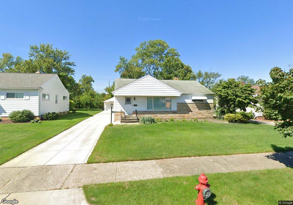
1748 Alcester Rd Cleveland, OH 44124
Estimated Value: $217,000 - $264,000
3
Beds
2
Baths
1,150
Sq Ft
$211/Sq Ft
Est. Value
About This Home
This home is located at 1748 Alcester Rd, Cleveland, OH 44124 and is currently estimated at $242,229, approximately $210 per square foot. 1748 Alcester Rd is a home located in Cuyahoga County with nearby schools including Mayfield High School, Corpus Christi Academy, and Gilmour Academy.
Ownership History
Date
Name
Owned For
Owner Type
Purchase Details
Closed on
Jun 18, 1999
Sold by
Kelly John L and Kelly Margaret E
Bought by
Hu Long Bing and Liu Cai X
Current Estimated Value
Home Financials for this Owner
Home Financials are based on the most recent Mortgage that was taken out on this home.
Original Mortgage
$70,000
Interest Rate
7.15%
Purchase Details
Closed on
Feb 22, 1979
Sold by
Kelly John L and Kelly Margaret E
Bought by
Kelly John L
Purchase Details
Closed on
Jan 1, 1975
Bought by
Kelly John L and Kelly Margaret E
Create a Home Valuation Report for This Property
The Home Valuation Report is an in-depth analysis detailing your home's value as well as a comparison with similar homes in the area
Home Values in the Area
Average Home Value in this Area
Purchase History
| Date | Buyer | Sale Price | Title Company |
|---|---|---|---|
| Hu Long Bing | $130,000 | Real Estate Title | |
| Kelly John L | -- | -- | |
| Kelly John L | -- | -- |
Source: Public Records
Mortgage History
| Date | Status | Borrower | Loan Amount |
|---|---|---|---|
| Closed | Hu Long Bing | $70,000 |
Source: Public Records
Tax History Compared to Growth
Tax History
| Year | Tax Paid | Tax Assessment Tax Assessment Total Assessment is a certain percentage of the fair market value that is determined by local assessors to be the total taxable value of land and additions on the property. | Land | Improvement |
|---|---|---|---|---|
| 2024 | $4,787 | $71,330 | $15,260 | $56,070 |
| 2023 | $3,797 | $52,230 | $13,830 | $38,400 |
| 2022 | $3,936 | $52,220 | $13,825 | $38,395 |
| 2021 | $3,898 | $52,220 | $13,830 | $38,400 |
| 2020 | $3,640 | $44,660 | $11,830 | $32,830 |
| 2019 | $3,530 | $127,600 | $33,800 | $93,800 |
| 2018 | $3,346 | $44,660 | $11,830 | $32,830 |
| 2017 | $3,481 | $41,410 | $11,130 | $30,280 |
| 2016 | $3,455 | $41,410 | $11,130 | $30,280 |
| 2015 | $3,143 | $41,410 | $11,130 | $30,280 |
| 2014 | $3,143 | $40,600 | $10,920 | $29,680 |
Source: Public Records
Map
Nearby Homes
- 1637 Lander Rd
- 1737 Mayfair Blvd
- 6132 Westerham Rd
- 5960 Cantwell Dr
- 1575 Lander Rd
- 1572 Crestwood Rd
- 5931 Mayberry Ave
- 1722 Hawthorne Dr
- 1593 Woodhurst Ave
- 1604 Fruitland Ave
- 1763 Temple Ave
- 5831 Alberta Dr
- 210 Teal Trace Unit 210
- 1542 Woodhurst Ave
- 1574 Hawthorne Dr
- 1590 Longwood Dr
- 1652 Temple Ave
- 140 Fox Hollow Dr Unit 201A
- 1520 Fruitland Ave
- 1839 Caronia Dr
- 1742 Alcester Rd
- 1756 Alcester Rd
- 1736 Alcester Rd
- 1762 Alcester Rd
- 1703 Lander Rd
- 1699 Lander Rd
- 1747 Alcester Rd
- 1707 Lander Rd
- 1755 Alcester Rd
- 1741 Alcester Rd
- 1730 Alcester Rd
- 1768 Alcester Rd
- 1735 Alcester Rd
- 1761 Alcester Rd
- 1695 Lander Rd
- 1711 Lander Rd
- 1724 Alcester Rd
- 1774 Alcester Rd
- 1729 Alcester Rd
- 1767 Alcester Rd