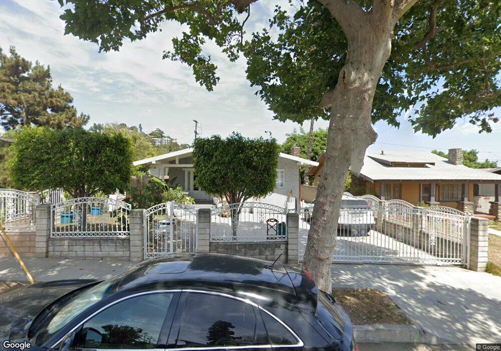
1748 N Avenue 53 Los Angeles, CA 90042
Estimated Value: $1,013,182 - $1,258,000
3
Beds
1
Bath
1,199
Sq Ft
$962/Sq Ft
Est. Value
About This Home
This home is located at 1748 N Avenue 53, Los Angeles, CA 90042 and is currently estimated at $1,153,046, approximately $961 per square foot. 1748 N Avenue 53 is a home located in Los Angeles County with nearby schools including Yorkdale Elementary, Benjamin Franklin High School, and Luther Burbank Middle School.
Ownership History
Date
Name
Owned For
Owner Type
Purchase Details
Closed on
Jun 9, 1995
Sold by
Federal Home Loan Mortgage Corporation
Bought by
Alvarado Sergio and Alvarado Hermila
Current Estimated Value
Home Financials for this Owner
Home Financials are based on the most recent Mortgage that was taken out on this home.
Original Mortgage
$120,000
Interest Rate
7.9%
Purchase Details
Closed on
Mar 14, 1995
Sold by
American Svgs Bank Fa
Bought by
Federal Home Loan Mortgage Corporation
Purchase Details
Closed on
Mar 3, 1995
Sold by
Burciaga Fernando A and Burciaga Bertha
Bought by
American Svgs Bank Fa
Create a Home Valuation Report for This Property
The Home Valuation Report is an in-depth analysis detailing your home's value as well as a comparison with similar homes in the area
Home Values in the Area
Average Home Value in this Area
Purchase History
| Date | Buyer | Sale Price | Title Company |
|---|---|---|---|
| Alvarado Sergio | $134,000 | First American Title Co | |
| Federal Home Loan Mortgage Corporation | -- | First American Title Co | |
| American Svgs Bank Fa | $117,000 | Stewart Title |
Source: Public Records
Mortgage History
| Date | Status | Borrower | Loan Amount |
|---|---|---|---|
| Closed | Alvarado Sergio | $120,000 |
Source: Public Records
Tax History Compared to Growth
Tax History
| Year | Tax Paid | Tax Assessment Tax Assessment Total Assessment is a certain percentage of the fair market value that is determined by local assessors to be the total taxable value of land and additions on the property. | Land | Improvement |
|---|---|---|---|---|
| 2025 | $2,874 | $222,581 | $166,113 | $56,468 |
| 2024 | $2,874 | $218,217 | $162,856 | $55,361 |
| 2023 | $2,822 | $213,939 | $159,663 | $54,276 |
| 2022 | $2,695 | $209,745 | $156,533 | $53,212 |
| 2021 | $2,658 | $205,633 | $153,464 | $52,169 |
| 2019 | $2,582 | $199,536 | $148,913 | $50,623 |
| 2018 | $2,495 | $195,625 | $145,994 | $49,631 |
| 2016 | $2,291 | $188,030 | $140,326 | $47,704 |
| 2015 | $2,258 | $185,207 | $138,219 | $46,988 |
| 2014 | $2,272 | $181,580 | $135,512 | $46,068 |
Source: Public Records
Map
Nearby Homes
- 1813 N Avenue 53
- 5252 Range View Ave
- 1813 N Avenue 55
- 1800 N Avenue 55
- 5240 Barker Dr
- 1932 Phillips Way
- 1942 Phillips Way
- 1815 Nolden St
- 1938 Phillips Way
- 1370 N Avenue 57
- 5117 Stratford Rd
- 1915 N Avenue 52
- 1902 N Avenue 51
- 5711 Stratford Rd
- 1425 Highgate Ave
- 1333 Wildwood Dr
- 5125 Buchanan St
- 1408 Highgate Ave
- 1057 Milwaukee Ave
- 5810 Burwood Ave
- 1754 N Avenue 53
- 1740 N Avenue 53
- 1738 N Avenue 53
- 1649 N Avenue 54
- 1655 N Avenue 54
- 1645 N Avenue 54
- 1734 N Avenue 53
- 5307 Coringa Dr
- 1639 N Avenue 54
- 5311 Coringa Dr
- 1755 N Avenue 53
- 5301 Coringa Dr
- 1749 N Avenue 53
- 5315 Coringa Dr
- 1745 N Avenue 53
- 1728 N Avenue 53
- 1635 N Avenue 54
- 1701 N Avenue 54
- 1739 N Avenue 53
- 1733 N Avenue 53