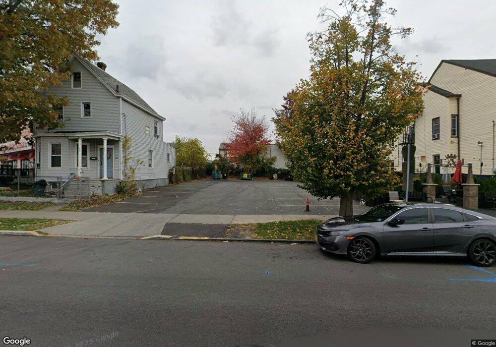
175 Crooks Ave Unit 177 Paterson, NJ 07503
South Paterson NeighborhoodEstimated Value: $169,000 - $476,000
--
Bed
--
Bath
1,188
Sq Ft
$310/Sq Ft
Est. Value
About This Home
This home is located at 175 Crooks Ave Unit 177, Paterson, NJ 07503 and is currently estimated at $368,616, approximately $310 per square foot. 175 Crooks Ave Unit 177 is a home located in Passaic County with nearby schools including Dale Avenue Elementary School, Edward W. Kilpatrick School of Discovery, and Paterson Public School No. 3.
Ownership History
Date
Name
Owned For
Owner Type
Purchase Details
Closed on
Feb 27, 2014
Sold by
Munem Razi
Bought by
175 177 Crooks Avenue Llc
Current Estimated Value
Purchase Details
Closed on
Dec 27, 2006
Sold by
Marchesani Benito V
Bought by
Munem Razi
Home Financials for this Owner
Home Financials are based on the most recent Mortgage that was taken out on this home.
Original Mortgage
$268,000
Interest Rate
6.18%
Mortgage Type
New Conventional
Create a Home Valuation Report for This Property
The Home Valuation Report is an in-depth analysis detailing your home's value as well as a comparison with similar homes in the area
Home Values in the Area
Average Home Value in this Area
Purchase History
| Date | Buyer | Sale Price | Title Company |
|---|---|---|---|
| 175 177 Crooks Avenue Llc | $29,000 | Multiple | |
| Munem Razi | $335,000 | -- |
Source: Public Records
Mortgage History
| Date | Status | Borrower | Loan Amount |
|---|---|---|---|
| Previous Owner | Munem Razi | $268,000 |
Source: Public Records
Tax History Compared to Growth
Tax History
| Year | Tax Paid | Tax Assessment Tax Assessment Total Assessment is a certain percentage of the fair market value that is determined by local assessors to be the total taxable value of land and additions on the property. | Land | Improvement |
|---|---|---|---|---|
| 2025 | $6,674 | $131,000 | $42,400 | $88,600 |
| 2024 | $6,423 | $131,000 | $42,400 | $88,600 |
| 2022 | $6,081 | $131,000 | $42,400 | $88,600 |
| 2021 | $5,864 | $131,000 | $42,400 | $88,600 |
| 2020 | $5,469 | $131,000 | $42,400 | $88,600 |
| 2019 | $5,234 | $126,600 | $40,000 | $86,600 |
| 2018 | $5,403 | $124,900 | $39,700 | $85,200 |
| 2017 | $5,158 | $124,000 | $39,500 | $84,500 |
| 2016 | $5,680 | $130,900 | $41,600 | $89,300 |
| 2015 | $5,377 | $130,900 | $41,600 | $89,300 |
| 2014 | $9,179 | $316,500 | $204,600 | $111,900 |
Source: Public Records
Map
Nearby Homes
- 92 Wabash Ave
- 165 E 2nd St
- 41 Columbia Ave
- 170 W 4th St
- 432 Trenton Ave
- 432-434 Trenton Ave Unit 7
- 179 W 3rd St
- 366-2-382 Trenton Ave Unit 5D
- 366-2-382 Trenton Ave Unit 5B
- 366 Trenton Ave Unit 4F
- 218 W 2nd St
- 45 Dey St
- 126 Gould Ave
- 24 6th Ave
- 275 E 7th St
- 237 E 6th St
- 238 Vernon Ave Unit 240
- 30 E 2nd St
- 339 Paxton St
- 71 Fernwood Ct
- 171 Crooks Ave Unit 173
- 179 Crooks Ave Unit 181
- 183 Crooks Ave
- 174 Knickerbocker Ave Unit 176
- 178 Knickerbocker Ave Unit 180
- 182-184 Knickerbocker Ave Unit 3
- 182-184 Knickerbocker Ave Unit 2
- 170 Knickerbocker Ave Unit 172
- 182 Knickerbocker Ave Unit 2
- 182 Knickerbocker Ave Unit 184
- 166 Knickerbocker Ave Unit 168
- 186 Knickerbocker Ave Unit 188
- 186 Knickerbocker Ave Unit 1
- 189 Crooks Ave Unit 191
- 485 Crooks Ave
- 481 Crooks Ave
- 477 Crooks Ave Unit 2
- 477 Crooks Ave
- 193 Crooks Ave Unit 195
- 177 Knickerbocker Ave Unit 179