Estimated Value: $167,308 - $272,000
--
Bed
1
Bath
1,144
Sq Ft
$184/Sq Ft
Est. Value
About This Home
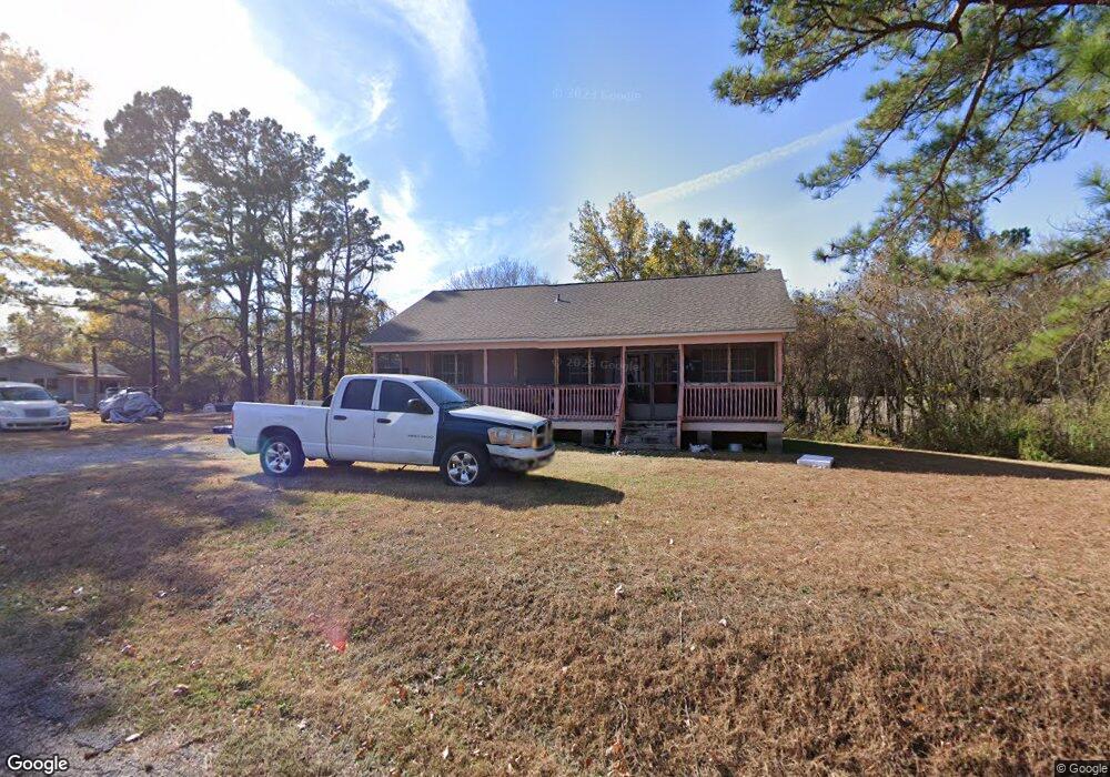
This home is located at 175 Harris Rd, Atoka, TN 38004 and is currently estimated at $210,077, approximately $183 per square foot. 175 Harris Rd is a home located in Tipton County with nearby schools including Atoka Elementary School, Brighton Middle School, and Brighton High School.
Ownership History
Date
Name
Owned For
Owner Type
Purchase Details
Closed on
Jun 21, 2002
Sold by
Randy Alston and Randy Gwenda
Bought by
Ester Lee
Current Estimated Value
Home Financials for this Owner
Home Financials are based on the most recent Mortgage that was taken out on this home.
Original Mortgage
$71,070
Outstanding Balance
$30,792
Interest Rate
7.16%
Estimated Equity
$179,285
Purchase Details
Closed on
Feb 27, 2002
Sold by
Effie Lee and Effie Ester
Bought by
Randy Alston
Purchase Details
Closed on
Jul 13, 1990
Bought by
Lee Ester and Lee Effie
Create a Home Valuation Report for This Property
The Home Valuation Report is an in-depth analysis detailing your home's value as well as a comparison with similar homes in the area
Home Values in the Area
Average Home Value in this Area
Purchase History
| Date | Buyer | Sale Price | Title Company |
|---|---|---|---|
| Ester Lee | $5,000 | -- | |
| Randy Alston | -- | -- | |
| Lee Ester | -- | -- |
Source: Public Records
Mortgage History
| Date | Status | Borrower | Loan Amount |
|---|---|---|---|
| Open | Lee Ester | $71,070 |
Source: Public Records
Tax History Compared to Growth
Tax History
| Year | Tax Paid | Tax Assessment Tax Assessment Total Assessment is a certain percentage of the fair market value that is determined by local assessors to be the total taxable value of land and additions on the property. | Land | Improvement |
|---|---|---|---|---|
| 2024 | $692 | $30,675 | $6,850 | $23,825 |
| 2023 | $467 | $30,675 | $6,850 | $23,825 |
| 2022 | $662 | $21,575 | $5,025 | $16,550 |
| 2021 | $652 | $21,575 | $5,025 | $16,550 |
| 2020 | $651 | $21,575 | $5,025 | $16,550 |
| 2019 | $663 | $18,475 | $4,675 | $13,800 |
| 2018 | $663 | $18,475 | $4,675 | $13,800 |
| 2017 | $595 | $18,475 | $4,675 | $13,800 |
| 2016 | $595 | $18,475 | $4,675 | $13,800 |
| 2015 | $594 | $18,475 | $4,675 | $13,800 |
| 2014 | $549 | $18,475 | $0 | $0 |
Source: Public Records
Map
Nearby Homes
- 29 Merino Dr
- 170 Como Ln
- 125 Columbia Way
- 236 Como Ln
- 35 Drysdale Cove
- 50 Drysdale Cove
- 60 Drysdale Cove
- 61 Como Ln
- 93 Sterling Farm Dr
- 78 Doe Trail
- 284 Merino Dr
- 371 Beverly Dr
- 189 Cotton Fall Dr
- 538 Rosemark Rd
- 249 Mignon Rd
- 46 Walker Pkwy
- 104 Lochmeade Dr
- 128 Loch Haven Cove S
- 420 Trebing Pkwy
- 79 Columbia Way
- 195 Harris Rd
- 215 Harris Rd
- 242 Sterling Farm Dr
- 214 Sterling Farm Dr
- 198 Sterling Farm Dr
- 254 Sterling Farm Dr
- 272 Sterling Farm Dr
- 178 Sterling Farm Dr
- 166 Sterling Farm Dr
- 280 Sterling Farm Dr
- 144 Sterling Farm Dr
- 0 CV Unit 10205746
- 245 Sterling Farm Dr
- 290 Sterling Farm Dr
- 263 Sterling Farm Dr
- 227 Sterling Farm Dr
- 128 Sterling Farm Dr
- 207 Sterling Farm Dr
- 110 Sterling Farm Dr
- 189 Sterling Farm Dr