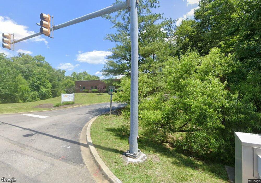
175 Post Office Rd Waldorf, MD 20602
--
Bed
--
Bath
11,880
Sq Ft
1.9
Acres
About This Home
This home is located at 175 Post Office Rd, Waldorf, MD 20602. 175 Post Office Rd is a home located in Charles County with nearby schools including Dr. Samuel A. Mudd Elementary School, John Hanson Middle School, and Thomas Stone High School.
Ownership History
Date
Name
Owned For
Owner Type
Purchase Details
Closed on
Jun 22, 2018
Sold by
State Of Maryland
Bought by
State Of Maryland
Purchase Details
Closed on
Sep 21, 1994
Sold by
Lenhart Dev Corp
Bought by
State Of Md
Purchase Details
Closed on
Feb 6, 1989
Sold by
Waltersdorff Glen A
Bought by
Lenhart Development Corporation
Purchase Details
Closed on
May 29, 1985
Sold by
Arlington Paper Supply Co Inc
Bought by
Waltersdorff Glen A
Home Financials for this Owner
Home Financials are based on the most recent Mortgage that was taken out on this home.
Original Mortgage
$95,000
Interest Rate
12.83%
Create a Home Valuation Report for This Property
The Home Valuation Report is an in-depth analysis detailing your home's value as well as a comparison with similar homes in the area
Home Values in the Area
Average Home Value in this Area
Purchase History
| Date | Buyer | Sale Price | Title Company |
|---|---|---|---|
| State Of Maryland | -- | None Available | |
| State Of Md | $198,634 | -- | |
| Lenhart Development Corporation | $238,000 | -- | |
| Waltersdorff Glen A | $110,000 | -- |
Source: Public Records
Mortgage History
| Date | Status | Borrower | Loan Amount |
|---|---|---|---|
| Previous Owner | Waltersdorff Glen A | $95,000 |
Source: Public Records
Tax History Compared to Growth
Tax History
| Year | Tax Paid | Tax Assessment Tax Assessment Total Assessment is a certain percentage of the fair market value that is determined by local assessors to be the total taxable value of land and additions on the property. | Land | Improvement |
|---|---|---|---|---|
| 2025 | $26,584 | $1,975,800 | -- | -- |
| 2024 | $26,584 | $1,894,000 | $515,400 | $1,378,600 |
| 2023 | $26,584 | $1,860,300 | $0 | $0 |
| 2022 | $22,887 | $1,826,600 | $0 | $0 |
| 2021 | $0 | $1,792,900 | $515,400 | $1,277,500 |
| 2020 | $0 | $1,788,667 | $0 | $0 |
| 2019 | $0 | $1,784,433 | $0 | $0 |
| 2018 | $23,445 | $1,780,200 | $515,400 | $1,264,800 |
| 2017 | $23,037 | $1,749,200 | $0 | $0 |
| 2016 | -- | $1,718,200 | $0 | $0 |
| 2015 | -- | $1,687,200 | $0 | $0 |
| 2014 | -- | $1,650,933 | $0 | $0 |
Source: Public Records
Map
Nearby Homes
- 3 Henry Ford Cir
- 801 Roxbury Ct
- 3071 Donegal Ct
- 3081 Dorsey Ct
- 11960 Motley Place
- 3864 Kelly Green Place
- 3205 High Timber Ct
- 3809 Light Arms Place
- 717 Barrington Dr
- 3893 Light Arms Place
- 3729 Kempsford Field Place
- 3839 Kearnys Inn Place
- 0 Leonardtown Rd Unit MDCH2048068
- 3286 Greenwich Ct
- 3048 Heathcote Rd
- 3046 Heathcote Rd
- 3037 Heathcote Rd
- 3283 Ryon Ct
- 3298 Old Washington Rd
- 3086 Heathcote Rd
- 3601 Matlock Place
- 3603 Matlock Place
- 3605 Matlock Place
- 3604 Matlock Place
- 3607 Matlock Place
- 1 Industrial Park Dr
- 3606 Matlock Place
- 3609 Matlock Place
- 3608 Matlock Place
- 3611 Matlock Place
- 3610 Matlock Place
- 3 Industrial Park Dr
- 3612 Matlock Place
- 3621 Matlock Place
- 3713 Midlothian Place
- 3711 Midlothian Place
- 3709 Midlothian Place
- 3721 Midlothian Place
- 3707 Midlothian Place
- 3723 Midlothian Place
