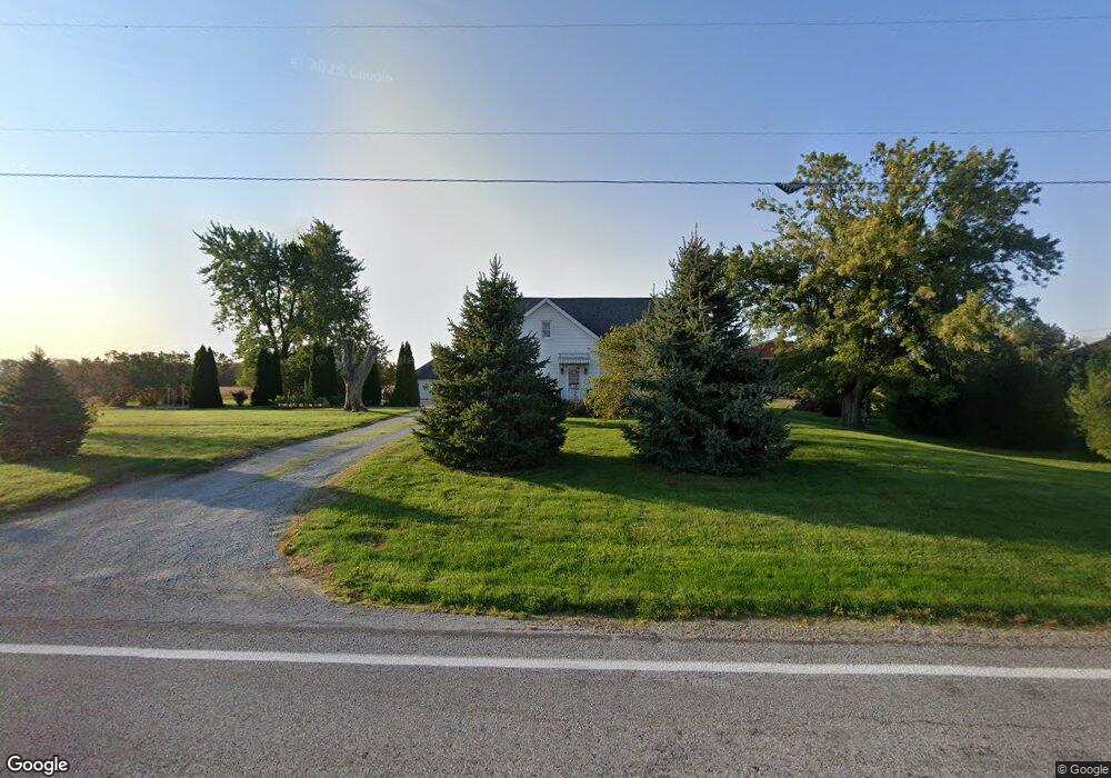
17538 State Route 67 Wapakoneta, OH 45895
Estimated Value: $351,000
4
Beds
2
Baths
2,316
Sq Ft
$152/Sq Ft
Est. Value
About This Home
This home is located at 17538 State Route 67, Wapakoneta, OH 45895 and is currently estimated at $351,000, approximately $151 per square foot. 17538 State Route 67 is a home located in Auglaize County with nearby schools including Wapakoneta Elementary School, Wapakoneta High School, and Wapakoneta Middle School.
Ownership History
Date
Name
Owned For
Owner Type
Purchase Details
Closed on
Mar 1, 2017
Sold by
Ruppert Peggy J and Randall Jerry L
Bought by
Randall Carlton E and Randall Deborah A
Current Estimated Value
Home Financials for this Owner
Home Financials are based on the most recent Mortgage that was taken out on this home.
Original Mortgage
$232,000
Outstanding Balance
$191,958
Interest Rate
4.09%
Mortgage Type
Future Advance Clause Open End Mortgage
Estimated Equity
$159,042
Purchase Details
Closed on
Sep 24, 2004
Sold by
Bechdolt Dorothy
Bought by
Randall Carlton E
Create a Home Valuation Report for This Property
The Home Valuation Report is an in-depth analysis detailing your home's value as well as a comparison with similar homes in the area
Home Values in the Area
Average Home Value in this Area
Purchase History
| Date | Buyer | Sale Price | Title Company |
|---|---|---|---|
| Randall Carlton E | $212,000 | Attorney | |
| Randall Carlton E | $85,000 | -- |
Source: Public Records
Mortgage History
| Date | Status | Borrower | Loan Amount |
|---|---|---|---|
| Open | Randall Carlton E | $232,000 |
Source: Public Records
Tax History Compared to Growth
Tax History
| Year | Tax Paid | Tax Assessment Tax Assessment Total Assessment is a certain percentage of the fair market value that is determined by local assessors to be the total taxable value of land and additions on the property. | Land | Improvement |
|---|---|---|---|---|
| 2024 | $3,873 | $81,850 | $14,840 | $67,010 |
| 2023 | $2,308 | $81,850 | $14,840 | $67,010 |
| 2022 | $2,053 | $67,770 | $10,140 | $57,630 |
| 2021 | $2,033 | $67,770 | $10,140 | $57,630 |
| 2020 | $1,186 | $67,767 | $10,136 | $57,631 |
| 2019 | $2,453 | $67,767 | $10,136 | $57,631 |
| 2018 | $2,463 | $67,767 | $10,136 | $57,631 |
| 2017 | $2,449 | $67,767 | $10,136 | $57,631 |
| 2016 | $1,847 | $51,492 | $9,653 | $41,839 |
| 2015 | $1,496 | $42,214 | $9,653 | $32,561 |
| 2014 | $1,487 | $42,214 | $9,653 | $32,561 |
| 2013 | $1,497 | $42,214 | $9,653 | $32,561 |
Source: Public Records
Map
Nearby Homes
- 37 N Main St
- 0 Ohio 67
- 17 E Walnut St
- 17092 Hauss Rd
- 20630 State Route 67
- 0 Wapakoneta Cridersville Rd
- 116 N Wagner Ave
- 17946 National Rd
- 212 S Oak St
- 0 Ohio 67
- 109 Bluegrass Dr
- 310 W Main St
- 5290 New Haven Dr
- 1805 Huntington Dr
- 1835 Huntington Dr
- 409 S Pine St
- 9 E Silver St
- 201 E Pearl St
- 420 Hoopengarner St
- 322 Cole Dr
- 17387 State Route 67
- 17775 State Route 67
- 17231 State Route 67
- 17886 State Route 67
- 17102 State Route 67
- 16982 State Route 67
- 16757 Town Line Rd
- 16981 State Route 67
- 17136 Town Line Rd
- 16790 Townline Lima Rd
- 17290 Blackhoof Creek Rd
- 16942 Townline Lima Rd
- 16975 State Route 67
- 16720 Town Line Rd
- 16609 Town Line Rd
- 17292 Town Line Rd
- 18096 State Route 67
- 16937 State Route 67
- 16581 Town Line Rd
- 17443 Town Line Rd