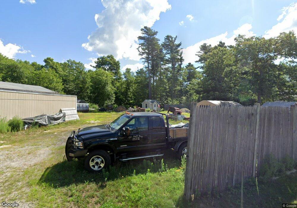
175A Blackmore Pond Rd West Wareham, MA 02576
Estimated Value: $407,000 - $554,000
2
Beds
1
Bath
990
Sq Ft
$463/Sq Ft
Est. Value
About This Home
This home is located at 175A Blackmore Pond Rd, West Wareham, MA 02576 and is currently estimated at $458,452, approximately $463 per square foot. 175A Blackmore Pond Rd is a home with nearby schools including Tabor Academy.
Ownership History
Date
Name
Owned For
Owner Type
Purchase Details
Closed on
Dec 6, 2018
Sold by
Briggs Arnold
Bought by
Arnold B Briggs Nt and Briggs
Current Estimated Value
Purchase Details
Closed on
Jul 26, 1995
Sold by
Valladoa Edmond R Est
Bought by
Briggs Arnold
Create a Home Valuation Report for This Property
The Home Valuation Report is an in-depth analysis detailing your home's value as well as a comparison with similar homes in the area
Home Values in the Area
Average Home Value in this Area
Purchase History
| Date | Buyer | Sale Price | Title Company |
|---|---|---|---|
| Arnold B Briggs Nt | -- | -- | |
| Arnold B Briggs Nt | -- | -- | |
| Briggs Arnold | $115,000 | -- | |
| Briggs Arnold | $115,000 | -- |
Source: Public Records
Mortgage History
| Date | Status | Borrower | Loan Amount |
|---|---|---|---|
| Previous Owner | Briggs Arnold | $27,000 | |
| Previous Owner | Briggs Arnold | $20,000 |
Source: Public Records
Tax History Compared to Growth
Tax History
| Year | Tax Paid | Tax Assessment Tax Assessment Total Assessment is a certain percentage of the fair market value that is determined by local assessors to be the total taxable value of land and additions on the property. | Land | Improvement |
|---|---|---|---|---|
| 2025 | $3,416 | $327,800 | $123,300 | $204,500 |
| 2024 | $3,373 | $300,400 | $98,900 | $201,500 |
| 2023 | $3,092 | $269,600 | $89,700 | $179,900 |
| 2022 | $3,092 | $234,600 | $89,700 | $144,900 |
| 2021 | $3,068 | $228,100 | $89,700 | $138,400 |
| 2020 | $2,881 | $217,300 | $89,700 | $127,600 |
| 2019 | $2,873 | $216,200 | $95,000 | $121,200 |
| 2018 | $2,744 | $201,300 | $95,000 | $106,300 |
| 2017 | $2,565 | $190,700 | $95,000 | $95,700 |
| 2016 | $2,473 | $182,800 | $99,800 | $83,000 |
| 2015 | $2,389 | $182,800 | $99,800 | $83,000 |
| 2014 | $2,231 | $173,600 | $94,800 | $78,800 |
Source: Public Records
Map
Nearby Homes
- 291 County Rd
- 119 County Rd
- 12 Taft St
- 127 County Rd
- 21 Windsor Dr
- 26 Washington Dr
- 929 Point Rd
- 174 Wareham Rd
- 233 Marion Rd
- 6 A Rock Marsh Rd Unit A
- 6 A Rock Marsh Rd Unit A
- 245 Wareham Rd
- 19 County Rd
- 4 Rebecca Dr
- 5 Sola's Cir
- 4 Blackhall Ct
- 0 Cromesett Rd (Off) Unit 73385395
- 19 Station St
- 0 County Rd
- 58 Shady Ln
- 177 Blackmore Pond Rd
- 156 Blackmore Pond Rd
- 158 Blackmore Pond Rd
- 150 Blackmore Pond Rd
- 3 Shakedown St
- 152 Blackmore Pond Rd
- 162 Blackmore Pond Rd
- 5 Shakedown St
- 165 Blackmore Pond Rd
- 187 Blackmore Pond Rd
- 146 Blackmore Pond Rd
- 189 Blackmore Pond Rd
- 4 Barlow Ave
- 144 Blackmore Pond Rd
- 159 Blackmore Pond Rd
- 195 Blackmore Pond Rd
- 155 Blackmore Pond Rd
- 6 Woodbridge Ave
- 142 Blackmore Pond Rd
- 3 Woodbridge Ave