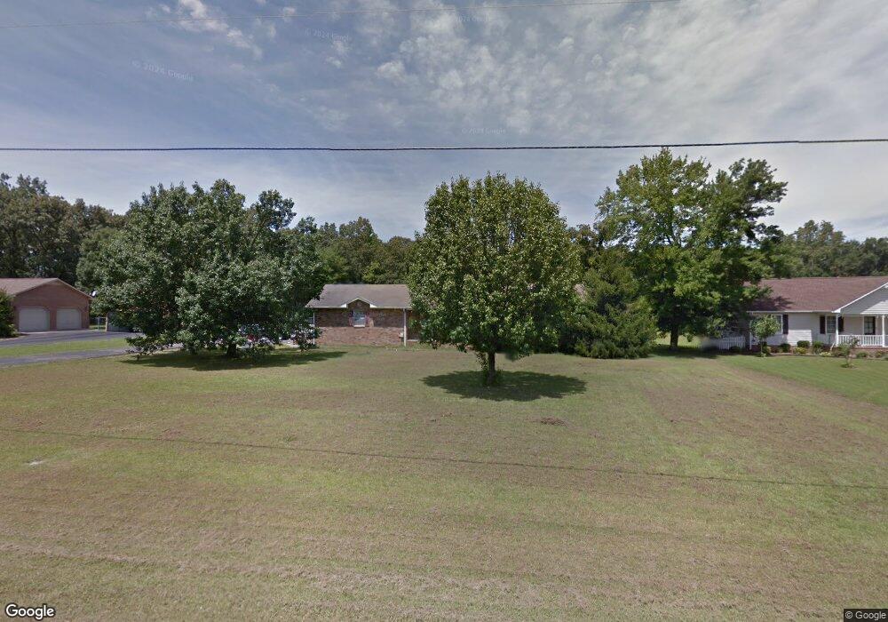
176 Dale Dr Manchester, TN 37355
Estimated Value: $234,060 - $337,000
--
Bed
2
Baths
1,310
Sq Ft
$223/Sq Ft
Est. Value
About This Home
This home is located at 176 Dale Dr, Manchester, TN 37355 and is currently estimated at $291,515, approximately $222 per square foot. 176 Dale Dr is a home located in Coffee County with nearby schools including East Coffee Elementary School, Coffee County Middle School, and Coffee County Central High School.
Ownership History
Date
Name
Owned For
Owner Type
Purchase Details
Closed on
Jul 16, 1999
Sold by
Summerlin Jim Leslie
Bought by
Eddings Richard A
Current Estimated Value
Purchase Details
Closed on
Aug 14, 1991
Bought by
Summerlin Jim Leslie &
Purchase Details
Closed on
Dec 18, 1990
Bought by
Meherg Gary Kevin and Meherg Lisa Dianne
Purchase Details
Closed on
Nov 14, 1989
Bought by
Freeze Ronnie Dorothy
Create a Home Valuation Report for This Property
The Home Valuation Report is an in-depth analysis detailing your home's value as well as a comparison with similar homes in the area
Home Values in the Area
Average Home Value in this Area
Purchase History
| Date | Buyer | Sale Price | Title Company |
|---|---|---|---|
| Eddings Richard A | $86,900 | -- | |
| Summerlin Jim Leslie & | $66,500 | -- | |
| Meherg Gary Kevin | $64,000 | -- | |
| Freeze Ronnie Dorothy | $8,000 | -- |
Source: Public Records
Tax History Compared to Growth
Tax History
| Year | Tax Paid | Tax Assessment Tax Assessment Total Assessment is a certain percentage of the fair market value that is determined by local assessors to be the total taxable value of land and additions on the property. | Land | Improvement |
|---|---|---|---|---|
| 2024 | $885 | $37,950 | $3,750 | $34,200 |
| 2023 | $885 | $37,950 | $0 | $0 |
| 2022 | $885 | $37,950 | $3,750 | $34,200 |
| 2021 | $846 | $28,850 | $2,500 | $26,350 |
| 2020 | $846 | $28,850 | $2,500 | $26,350 |
| 2019 | $846 | $28,850 | $2,500 | $26,350 |
| 2018 | $846 | $28,850 | $2,500 | $26,350 |
| 2017 | $803 | $24,600 | $1,250 | $23,350 |
| 2016 | $803 | $24,600 | $1,250 | $23,350 |
| 2015 | $803 | $24,600 | $1,250 | $23,350 |
| 2014 | $803 | $24,601 | $0 | $0 |
Source: Public Records
Map
Nearby Homes
- 837 Circle Dr
- 781 Circle Dr
- 2635 Pete Sain Rd
- 670 Old McMinnville Hwy
- 4282 McMinnville Hwy Unit 4270
- 363 Willow Brook Dr
- 300 Willow Brook Dr
- 0 Pete Sain Rd
- 3313 McMinnville Hwy
- 667 Pete Sain Rd
- 1270 Taylor Rd
- 499 Ridgewood Dr
- 621 Brandon Rd
- 166 Keele Rd
- 2498 Sp Anderson Rd
- 493 Maple Springs Rd
- 2315 Ragsdale Rd
- 676 Riddle Rd
- 7807 McMinnville Hwy Unit 7807
- 304 W Lynn Dr