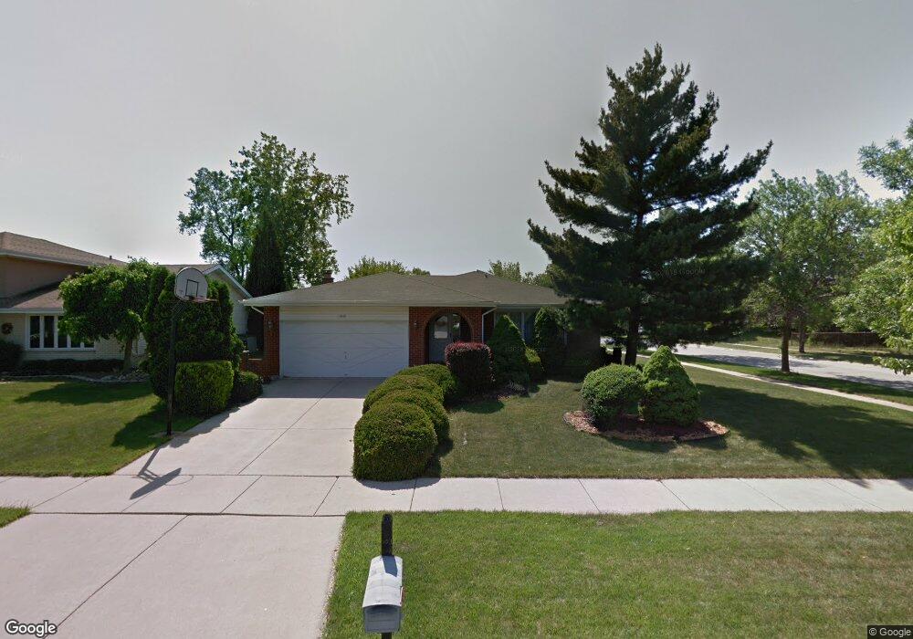
17606 Oakwood Dr Tinley Park, IL 60487
Central Tinley Park NeighborhoodEstimated Value: $408,940 - $443,000
3
Beds
3
Baths
1,862
Sq Ft
$228/Sq Ft
Est. Value
About This Home
This home is located at 17606 Oakwood Dr, Tinley Park, IL 60487 and is currently estimated at $425,235, approximately $228 per square foot. 17606 Oakwood Dr is a home located in Cook County with nearby schools including Christa Mcauliffe School, Prairie View Middle School, and Victor J Andrew High School.
Ownership History
Date
Name
Owned For
Owner Type
Purchase Details
Closed on
Sep 25, 1998
Sold by
Meadors Robert W and Meadors Maria E
Bought by
Grey George M and Grey Barbara
Current Estimated Value
Home Financials for this Owner
Home Financials are based on the most recent Mortgage that was taken out on this home.
Original Mortgage
$115,000
Outstanding Balance
$25,352
Interest Rate
6.98%
Estimated Equity
$399,883
Create a Home Valuation Report for This Property
The Home Valuation Report is an in-depth analysis detailing your home's value as well as a comparison with similar homes in the area
Home Values in the Area
Average Home Value in this Area
Purchase History
| Date | Buyer | Sale Price | Title Company |
|---|---|---|---|
| Grey George M | $218,000 | -- |
Source: Public Records
Mortgage History
| Date | Status | Borrower | Loan Amount |
|---|---|---|---|
| Open | Grey George M | $115,000 |
Source: Public Records
Tax History Compared to Growth
Tax History
| Year | Tax Paid | Tax Assessment Tax Assessment Total Assessment is a certain percentage of the fair market value that is determined by local assessors to be the total taxable value of land and additions on the property. | Land | Improvement |
|---|---|---|---|---|
| 2024 | $4,117 | $35,000 | $5,658 | $29,342 |
| 2023 | $5,454 | $35,000 | $5,658 | $29,342 |
| 2022 | $5,454 | $26,871 | $4,920 | $21,951 |
| 2021 | $5,139 | $26,870 | $4,920 | $21,950 |
| 2020 | $4,663 | $26,870 | $4,920 | $21,950 |
| 2019 | $4,974 | $29,379 | $4,428 | $24,951 |
| 2018 | $4,876 | $29,379 | $4,428 | $24,951 |
| 2017 | $4,664 | $29,379 | $4,428 | $24,951 |
| 2016 | $6,010 | $23,506 | $3,936 | $19,570 |
| 2015 | $6,246 | $23,506 | $3,936 | $19,570 |
| 2014 | $6,223 | $23,506 | $3,936 | $19,570 |
| 2013 | $7,347 | $24,325 | $3,936 | $20,389 |
Source: Public Records
Map
Nearby Homes
- 17533 Pecan Ln
- 9280 Windsor Pkwy Unit 92
- 9260 Windsor Pkwy Unit 80
- 9201 175th St
- 17535 S La Grange Rd
- 17535-2 Lagrange Rd
- 17964 Upland Dr
- 17224 Briar Dr
- 17230 Shetland Dr
- 17631 Dover Ct
- 18055 Upland Dr
- 9413 Caledonia Dr
- Fremont Plan at Radcliffe Place
- Calysta Plan at Radcliffe Place
- Danbury Plan at Radcliffe Place
- Briarcliffe Plan at Radcliffe Place
- Eden Plan at Radcliffe Place
- Amberwood Plan at Radcliffe Place
- 17324 Humber Ln
- 17500 Lagrange Rd
- 17556 Oakwood Dr
- 17618 Oakwood Dr
- 17607 Oakwood Dr
- 17639 Ash St
- 17601 Oakwood Dr
- 17621 Windsor Pkwy Unit 47
- 17613 Oakwood Dr
- 17550 Oakwood Dr
- 17611 Windsor Pkwy Unit 46
- 17555 Oakwood Dr
- 17625 Windsor Pkwy Unit 48
- 17624 Oakwood Dr
- 17615 Windsor Pkwy Unit 45
- 17615 Windsor Pkwy Unit 45
- 17615 Windsor Pkwy
- 17631 Windsor Pkwy Unit 49
- 17635 Windsor Pkwy Unit 50
- 17638 Ash St
- 17549 Oakwood Dr
- 14310 Oak Wood Dr