17619 Hawthorne Rd Lebanon, MO 65536
Estimated Value: $231,000 - $343,407
--
Bed
--
Bath
1,660
Sq Ft
$173/Sq Ft
Est. Value
About This Home
This home is located at 17619 Hawthorne Rd, Lebanon, MO 65536 and is currently estimated at $287,204, approximately $173 per square foot. 17619 Hawthorne Rd is a home located in Laclede County with nearby schools including Joel E. Barber Elementary School.
Ownership History
Date
Name
Owned For
Owner Type
Purchase Details
Closed on
Sep 12, 2017
Sold by
Linnebur Farm Llc
Bought by
Reddin Thomas P and Reddin Carolyn M
Current Estimated Value
Home Financials for this Owner
Home Financials are based on the most recent Mortgage that was taken out on this home.
Original Mortgage
$156,000
Outstanding Balance
$107,598
Interest Rate
3.89%
Mortgage Type
Future Advance Clause Open End Mortgage
Estimated Equity
$179,606
Purchase Details
Closed on
Sep 13, 2010
Sold by
Mathews John B
Bought by
Quinn Cody O and Quinn Richard O
Create a Home Valuation Report for This Property
The Home Valuation Report is an in-depth analysis detailing your home's value as well as a comparison with similar homes in the area
Home Values in the Area
Average Home Value in this Area
Purchase History
| Date | Buyer | Sale Price | Title Company |
|---|---|---|---|
| Reddin Thomas P | -- | Hogan | |
| Quinn Cody O | -- | None Available |
Source: Public Records
Mortgage History
| Date | Status | Borrower | Loan Amount |
|---|---|---|---|
| Open | Reddin Thomas P | $156,000 |
Source: Public Records
Tax History Compared to Growth
Tax History
| Year | Tax Paid | Tax Assessment Tax Assessment Total Assessment is a certain percentage of the fair market value that is determined by local assessors to be the total taxable value of land and additions on the property. | Land | Improvement |
|---|---|---|---|---|
| 2025 | $689 | $17,370 | $0 | $0 |
| 2024 | $689 | $15,930 | $0 | $0 |
| 2023 | $684 | $15,930 | $0 | $0 |
| 2022 | $684 | $15,930 | $0 | $0 |
| 2021 | $661 | $16,739 | $4,009 | $12,730 |
| 2020 | $665 | $16,739 | $4,009 | $12,730 |
| 2019 | $135 | $3,200 | $3,200 | $0 |
| 2018 | $132 | $3,310 | $3,310 | $0 |
| 2017 | $197 | $3,310 | $0 | $0 |
| 2016 | $197 | $3,310 | $0 | $0 |
| 2015 | $197 | $3,310 | $0 | $0 |
| 2014 | $197 | $4,910 | $0 | $0 |
Source: Public Records
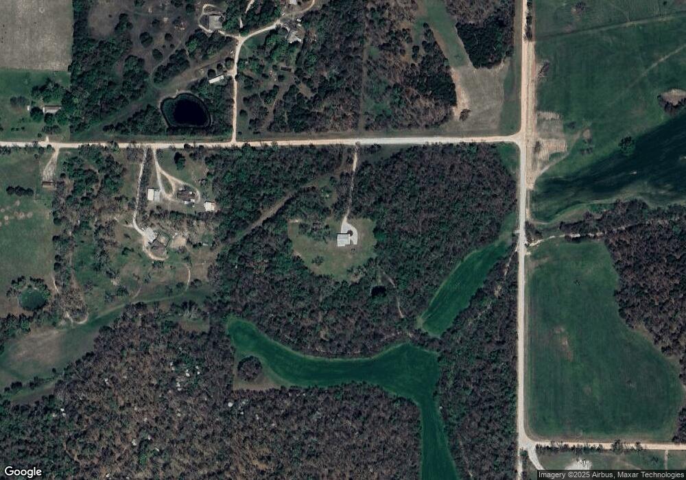
Map
Nearby Homes
- 29385 Highway Aa
- 15944 Highway Ww
- 000 Ivory Rd
- 17 Grandlake Cir
- 2 Grandlake Cir
- 10 Grandlake Cir
- 31 Ontario Dr
- 25670 Open Ridge Ln
- 25611 Open Ridge Ln
- 1 Grandlake Cir
- 15650 Highway Ww
- 19954 Ironwood Ln
- 20150 SW Oakwood Dr
- 15800 Highway Ww
- 000 Greenfield Rd
- TBD Greenfield Rd
- 20193 SW Oakwood Dr
- 27409 Missouri Dr
- 1040 Daytona Dr
- TBD Honeysuckle Cir
- 17400 Hawthorne Rd
- 17355 Hawthorne Rd
- 17270 Hawthorne Rd
- 27753 Oklahoma Dr
- 27950 Oklahoma Dr
- 27022 Highway Aa
- 27236 Highway Aa
- 27664 Highway Aa
- 22221 Aa Hwy
- 27439 Highway Aa
- 27399 Highway Aa
- 27630 Oaklawn Dr
- 27750 Highway Aa
- 16901 Hawk Cir
- 27958 Oaklawn Dr
- 27215 Highway Aa
- 16900 Hawk Cir
- 16800 Hickory Ln
- 27000 Highway Aa
- 27725 Highway Aa