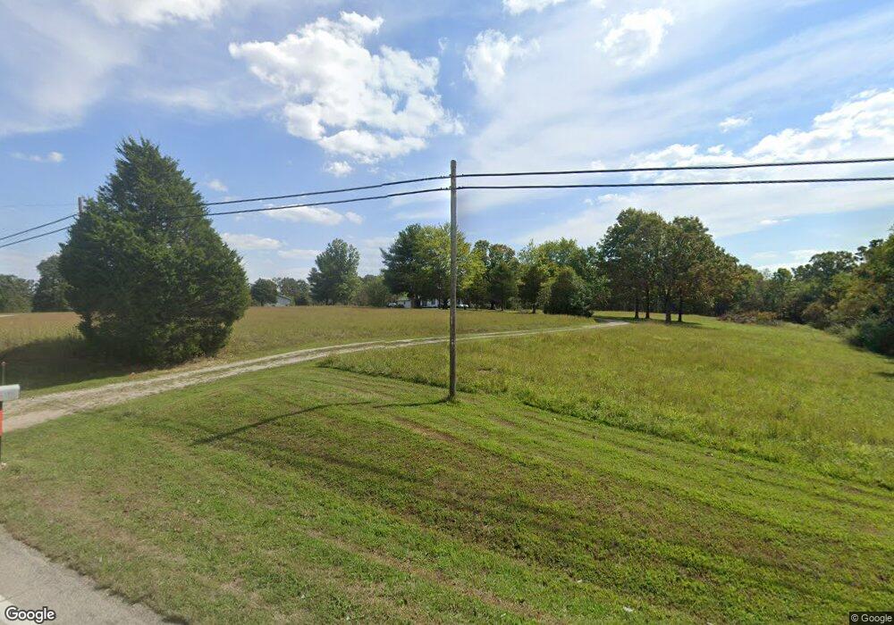
17650 Highway 64 Lebanon, MO 65536
Estimated Value: $184,000 - $244,210
2
Beds
2
Baths
1,120
Sq Ft
$193/Sq Ft
Est. Value
About This Home
This home is located at 17650 Highway 64, Lebanon, MO 65536 and is currently estimated at $216,070, approximately $192 per square foot. 17650 Highway 64 is a home located in Laclede County with nearby schools including Joel E. Barber Elementary School.
Ownership History
Date
Name
Owned For
Owner Type
Purchase Details
Closed on
Nov 14, 2019
Sold by
Hash Earcille V
Bought by
Revocable Living Trust Agreement Of Earcille and Revocable Liv Tr Agmt Of Earcille V Hash
Current Estimated Value
Purchase Details
Closed on
Feb 18, 2008
Sold by
Hash Harold R
Bought by
Hash Harold R and Revocable Living Trust Agreement Of Haro
Purchase Details
Closed on
Nov 16, 2006
Sold by
Hash Caroline S
Bought by
Hash Harold R
Home Financials for this Owner
Home Financials are based on the most recent Mortgage that was taken out on this home.
Original Mortgage
$145,200
Interest Rate
6.37%
Mortgage Type
New Conventional
Create a Home Valuation Report for This Property
The Home Valuation Report is an in-depth analysis detailing your home's value as well as a comparison with similar homes in the area
Home Values in the Area
Average Home Value in this Area
Purchase History
| Date | Buyer | Sale Price | Title Company |
|---|---|---|---|
| Revocable Living Trust Agreement Of Earcille | -- | None Available | |
| Hash Harold R | -- | None Available | |
| Hash Harold R | -- | None Available |
Source: Public Records
Mortgage History
| Date | Status | Borrower | Loan Amount |
|---|---|---|---|
| Closed | Hash Harold R | $145,200 |
Source: Public Records
Tax History Compared to Growth
Tax History
| Year | Tax Paid | Tax Assessment Tax Assessment Total Assessment is a certain percentage of the fair market value that is determined by local assessors to be the total taxable value of land and additions on the property. | Land | Improvement |
|---|---|---|---|---|
| 2025 | $568 | $13,720 | $0 | $0 |
| 2024 | $568 | $12,380 | $0 | $0 |
| 2023 | $592 | $12,380 | $0 | $0 |
| 2022 | $543 | $12,380 | $0 | $0 |
| 2021 | $579 | $14,193 | $2,489 | $11,704 |
| 2020 | $583 | $14,193 | $2,489 | $11,704 |
| 2019 | $882 | $16,750 | $2,330 | $14,420 |
| 2018 | $842 | $16,770 | $2,350 | $14,420 |
| 2017 | $848 | $16,780 | $0 | $0 |
| 2016 | $848 | $16,780 | $0 | $0 |
| 2015 | $848 | $16,780 | $0 | $0 |
| 2014 | $848 | $16,760 | $0 | $0 |
| 2013 | -- | $16,760 | $0 | $0 |
Source: Public Records
Map
Nearby Homes
- 000 Gateway Rd
- 18826 Highway 64
- 1040 Daytona Dr
- 1491 Brice St
- 210 N Sloan St
- 23119 Oneida Dr
- 274 Cornelison St
- 708 Herndon Rd
- 175 Walser St
- 1520 Fairfield Dr
- 25611 Open Ridge Ln
- 1250 N Jefferson Ave
- 25670 Open Ridge Ln
- TBD Honeysuckle Cir
- 105 S King St
- 218 S King St
- 16525 Finch Rd
- 605 Hunters Creek Dr
- 600 Hunters Creek Dr
- 376 Sunset Dr
- 17650 Highway 64
- 17650 Highway 64 Unit 1
- 17777 Highway 64
- 17910 Missouri 64
- 17910 Highway 64
- 17649 Highway 64
- 17649 Highway 64
- 17551 Highway 64
- 18121 Highway 64
- 17528 Highway 64
- 17989 Highway 64
- 17989 Highway 64
- 18000 Highway 64
- 18127 Highway 64
- 18128 Highway 64
- 17642 Gateway Rd
- 18296 Highway 64
- 17779 Gateway Rd
- 24570 Highway Aa
- 24570 Highway Aa