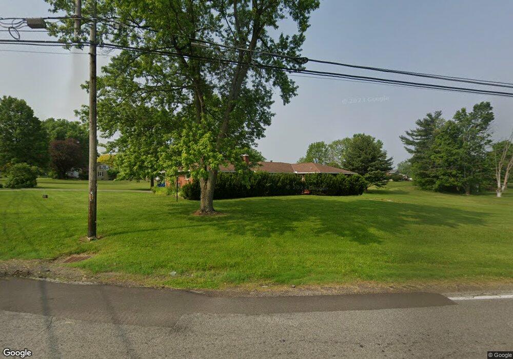
1768 Mansfield Lucas Rd Mansfield, OH 44903
Estimated Value: $225,568 - $259,000
3
Beds
2
Baths
1,476
Sq Ft
$160/Sq Ft
Est. Value
About This Home
This home is located at 1768 Mansfield Lucas Rd, Mansfield, OH 44903 and is currently estimated at $236,642, approximately $160 per square foot. 1768 Mansfield Lucas Rd is a home located in Richland County with nearby schools including St. Peter's Elementary/Montessori School and St. Peter's High School/Junior High.
Ownership History
Date
Name
Owned For
Owner Type
Purchase Details
Closed on
Sep 28, 2004
Sold by
Schmidt Eric G
Bought by
Dinninger Tanya K
Current Estimated Value
Purchase Details
Closed on
May 16, 2002
Sold by
Trst Mack B Price
Bought by
Schmidt Eric G and Dinninger Tanya K
Home Financials for this Owner
Home Financials are based on the most recent Mortgage that was taken out on this home.
Original Mortgage
$69,000
Interest Rate
7.16%
Mortgage Type
New Conventional
Purchase Details
Closed on
Jul 1, 1986
Create a Home Valuation Report for This Property
The Home Valuation Report is an in-depth analysis detailing your home's value as well as a comparison with similar homes in the area
Home Values in the Area
Average Home Value in this Area
Purchase History
| Date | Buyer | Sale Price | Title Company |
|---|---|---|---|
| Dinninger Tanya K | -- | -- | |
| Schmidt Eric G | $105,000 | -- | |
| -- | $62,000 | -- |
Source: Public Records
Mortgage History
| Date | Status | Borrower | Loan Amount |
|---|---|---|---|
| Previous Owner | Schmidt Eric G | $69,000 |
Source: Public Records
Tax History Compared to Growth
Tax History
| Year | Tax Paid | Tax Assessment Tax Assessment Total Assessment is a certain percentage of the fair market value that is determined by local assessors to be the total taxable value of land and additions on the property. | Land | Improvement |
|---|---|---|---|---|
| 2024 | $1,739 | $49,420 | $8,180 | $41,240 |
| 2023 | $1,739 | $49,420 | $8,180 | $41,240 |
| 2022 | $1,625 | $41,810 | $7,630 | $34,180 |
| 2021 | $1,648 | $41,810 | $7,630 | $34,180 |
| 2020 | $1,553 | $41,810 | $7,630 | $34,180 |
| 2019 | $1,397 | $35,480 | $6,470 | $29,010 |
| 2018 | $1,384 | $35,480 | $6,470 | $29,010 |
| 2017 | $1,801 | $35,480 | $6,470 | $29,010 |
| 2016 | $1,766 | $33,830 | $4,410 | $29,420 |
| 2015 | $1,668 | $33,830 | $4,410 | $29,420 |
| 2014 | $1,661 | $33,830 | $4,410 | $29,420 |
| 2012 | $805 | $34,880 | $4,550 | $30,330 |
Source: Public Records
Map
Nearby Homes
- 1875 Mansfield Lucas Rd
- 929 Antionette Dr
- 0 Woodville Rd Unit Lot 14952, 14953
- 0 Woodville Rd Unit Lot 14954, 14955
- 0 Woodville Rd Unit Lot 14956, 14957,
- 1679 Pulver Rd
- 0 State Route 39 & I-71 Southeast Quadrant
- 0 State Route 39 & I-71 Northeast Quadrant
- 794 Mansfield Washington Rd
- 2061 Washington North Rd
- 716 Mansfield Washington Rd
- 1135 E Hanley Rd
- 405 Plainview Ave
- 369 Davidson St
- 1599 S Main St
- 419 Pearl Ave
- 1680 S Main St
- 65 Logan Rd
- 413 Ruby Ave
- 0 Yoha Dr
- 2834 Scenic View Dr
- 1227 Washington North Rd
- 1244 Washington North Rd
- 1744 Mansfield Lucas Rd
- 1745 Mansfield Lucas Rd
- 960 Chew Rd
- 1724 Denzler Cir
- 1035 Freeway Cir
- 1260 Washington North Rd
- 1260 Washington North Rd
- 1015 Freeway Cir
- 1265 Washington North Rd
- 1714 Mansfield Lucas Rd
- 995 Chew Rd
- 1344 Sandy Ln
- 1801 Mansfield Lucas Rd
- 1265 Washington Rd N
- 988 Chew Rd
- 1715 Mansfield Lucas Rd
- 1272 Washington North Rd