177 Big Cedar Ln Madison Heights, VA 24572
Estimated Value: $240,000 - $333,798
4
Beds
1
Bath
2,149
Sq Ft
$136/Sq Ft
Est. Value
About This Home
This home is located at 177 Big Cedar Ln, Madison Heights, VA 24572 and is currently estimated at $292,599, approximately $136 per square foot. 177 Big Cedar Ln is a home located in Amherst County with nearby schools including Amelon Elementary School, Monelison Middle School, and Amherst County High School.
Ownership History
Date
Name
Owned For
Owner Type
Purchase Details
Closed on
Aug 29, 2011
Sold by
Blount Richard W and Blount Richard W
Bought by
Blount Denise M
Current Estimated Value
Purchase Details
Closed on
Jul 25, 2011
Sold by
Blount Richard W
Bought by
Blount Richard W
Purchase Details
Closed on
Oct 3, 1978
Sold by
Blount Richard W and Blount Margagret S
Bought by
Blount Richard W and Blount Patsy H
Create a Home Valuation Report for This Property
The Home Valuation Report is an in-depth analysis detailing your home's value as well as a comparison with similar homes in the area
Home Values in the Area
Average Home Value in this Area
Purchase History
| Date | Buyer | Sale Price | Title Company |
|---|---|---|---|
| Blount Denise M | -- | None Available | |
| Blount Richard W | -- | None Available | |
| Blount Richard W | -- | None Available |
Source: Public Records
Tax History Compared to Growth
Tax History
| Year | Tax Paid | Tax Assessment Tax Assessment Total Assessment is a certain percentage of the fair market value that is determined by local assessors to be the total taxable value of land and additions on the property. | Land | Improvement |
|---|---|---|---|---|
| 2025 | $1,089 | $178,500 | $42,300 | $136,200 |
| 2024 | $1,089 | $178,500 | $42,300 | $136,200 |
| 2023 | $1,089 | $178,500 | $42,300 | $136,200 |
| 2022 | $1,089 | $178,500 | $42,300 | $136,200 |
| 2021 | $1,089 | $178,500 | $42,300 | $136,200 |
| 2020 | $1,089 | $178,500 | $42,300 | $136,200 |
| 2019 | $1,052 | $172,400 | $48,300 | $124,100 |
| 2018 | $1,052 | $172,400 | $48,300 | $124,100 |
| 2017 | $1,052 | $172,400 | $48,300 | $124,100 |
| 2016 | $1,052 | $172,400 | $48,300 | $124,100 |
| 2015 | $965 | $172,400 | $48,300 | $124,100 |
| 2014 | $965 | $172,400 | $48,300 | $124,100 |
Source: Public Records
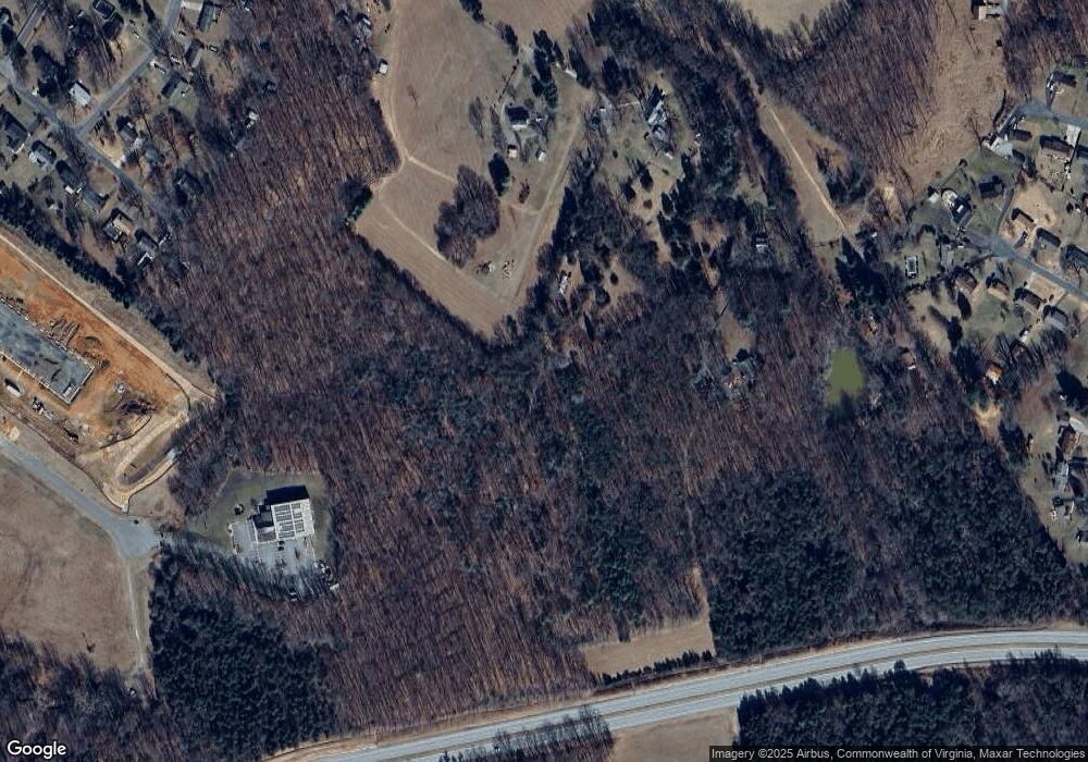
Map
Nearby Homes
- 571 Dixie Airport Rd
- 121 Crestwood Dr
- 327 Dixie Airport Rd
- 150 Glenwood Dr
- 272 Dixie Airport Rd
- 505 Royal Gardens Ct
- 250 S Wood Duck Dr
- 51 Patrick Ct
- 4123 S Amherst Hwy
- 151 Stratford Place
- TBD Stratford Place Unit 39
- 289 Todd Ln
- 193 Daniels Dr
- 115 Morgan Rd
- 0 Commonwealth Dr Unit 361760
- 0 Lot 10 & 11 Stoney Creek Dr Unit 345183
- 0 Monticello Ln
- 379 Winesap Rd
- 164 Glade Rd
- 193 Fernridge Ct
- 154 Big Cedar Ln
- 206 Peaceful Hollow Rd
- 181 Big Cedar Ln
- 462 Dixie Airport Rd
- 478 Dixie Airport Rd
- 474 Dixie Airport Rd
- 488 Dixie Airport Rd
- 498 Dixie Airport Rd
- 550 Dixie Airport Rd
- 234 Peaceful Hollow Rd
- 189 Crestwood Dr
- 436 Dixie Airport Rd
- 190 Crestwood Dr
- 516 Dixie Airport Rd
- 434 Dixie Airport Rd
- 526 Dixie Airport Rd
- 188 Crestwood Dr
- 534 Dixie Airport Rd
- 542 Dixie Airport Rd