1770 N Farm Road 241 Strafford, MO 65757
Southeast Springfield NeighborhoodEstimated Value: $417,000 - $614,000
3
Beds
2
Baths
3,641
Sq Ft
$139/Sq Ft
Est. Value
About This Home
This home is located at 1770 N Farm Road 241, Strafford, MO 65757 and is currently estimated at $505,070, approximately $138 per square foot. 1770 N Farm Road 241 is a home located in Greene County with nearby schools including Strafford Elementary School, Strafford Middle School, and Strafford High School.
Ownership History
Date
Name
Owned For
Owner Type
Purchase Details
Closed on
Nov 18, 2020
Sold by
Patterson Mark Allen and Patterson Randall Lee
Bought by
Purse Scott Ryan
Current Estimated Value
Purchase Details
Closed on
Aug 14, 2014
Sold by
Patterson Norma and Patterson Richard
Bought by
Patterson Mark A
Purchase Details
Closed on
Mar 9, 2011
Sold by
Patterson Richard and Patterson Norma
Bought by
Patterson Richard and Patterson Norma
Create a Home Valuation Report for This Property
The Home Valuation Report is an in-depth analysis detailing your home's value as well as a comparison with similar homes in the area
Home Values in the Area
Average Home Value in this Area
Purchase History
| Date | Buyer | Sale Price | Title Company |
|---|---|---|---|
| Purse Scott Ryan | $452,613 | None Available | |
| Patterson Mark A | -- | None Available | |
| Patterson Richard | -- | None Available |
Source: Public Records
Tax History Compared to Growth
Tax History
| Year | Tax Paid | Tax Assessment Tax Assessment Total Assessment is a certain percentage of the fair market value that is determined by local assessors to be the total taxable value of land and additions on the property. | Land | Improvement |
|---|---|---|---|---|
| 2025 | $1,384 | $49,930 | $12,690 | $37,240 |
| 2024 | $1,384 | $25,350 | $6,650 | $18,700 |
| 2023 | $1,393 | $25,350 | $6,650 | $18,700 |
| 2022 | $1,234 | $23,690 | $6,650 | $17,040 |
| 2021 | $1,161 | $23,690 | $6,650 | $17,040 |
| 2020 | $1,125 | $22,570 | $6,650 | $15,920 |
| 2019 | $1,121 | $24,490 | $6,650 | $17,840 |
| 2018 | $1,075 | $21,490 | $6,650 | $14,840 |
| 2017 | $1,066 | $21,490 | $6,650 | $14,840 |
| 2016 | $1,061 | $21,490 | $6,650 | $14,840 |
| 2015 | $1,060 | $21,490 | $6,650 | $14,840 |
| 2014 | $1,058 | $21,260 | $6,650 | $14,610 |
Source: Public Records
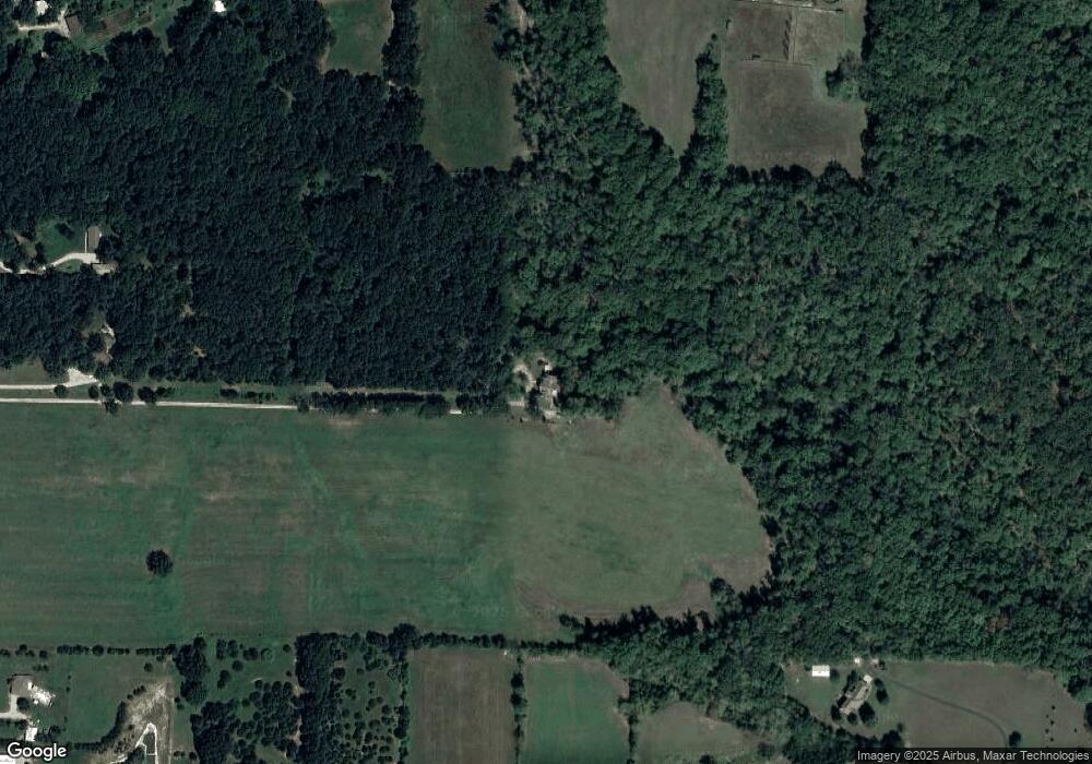
Map
Nearby Homes
- 9386 E Maple Ridge Ln
- 7990 E Farm Road 116
- 000 E State Highway Yy
- 807 S Stanford Dr
- 0 Woodlawn Cir
- 1297 Missouri 125
- 8890 E State Highway Ad
- 802 S Sunmeadow Dr
- 9784 E Farm Road 104
- 511 S Redbud Ave
- 2991 N State Highway 125
- 600 Kiowa Ct
- 109 W Elm St
- 415 & 417 S Dell St
- 1 Paradise Rd
- 5786 N Farm Road 249
- Tract 8b N Farm Road 245
- Tract 1 N Farm Road 245
- Tract 8a N Farm Road 245
- Tract 2 N Farm Road 245
- 1777 N Hearthstone Ln
- 1681 N Hearthstone Ln
- 1920 N Farm Road 241
- 8991 E Division St
- 9407 E Fireside Ln
- 1696 N Farm Road 241
- 9354 E Fireside Ln
- 1622 N Farm Road 241
- 8965 E Division St
- 9348 E Farm Road 116
- 9348 E Farm Road 116
- 9348 E Farm Road 116 Unit Residence
- 1804 N Hearthstone Ln
- 2136 N Farm Road 241
- 9450 E Fireside Ln
- 9004 E Division St
- 9079 E Division St
- 1987 N Farm Road 241
- 9181 E Oak Valley Rd
- 0 N Farm Rd 241 Unit 10909823