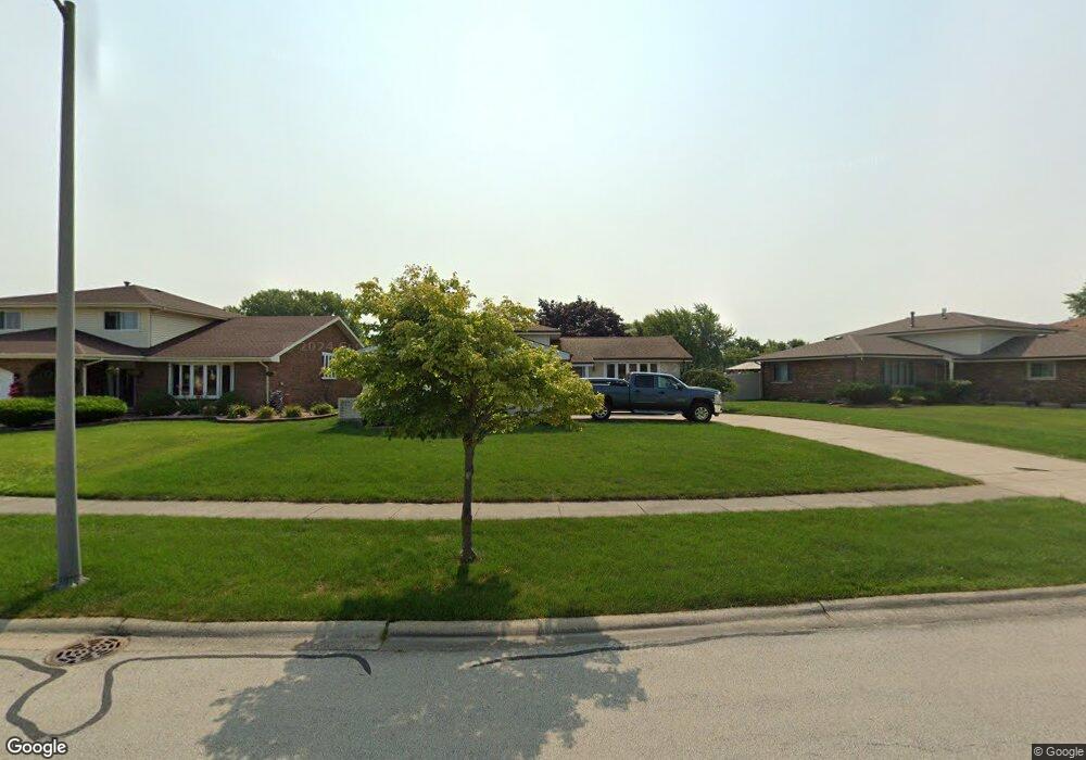
17701 Mulberry Ave Tinley Park, IL 60487
Central Tinley Park NeighborhoodEstimated Value: $378,140 - $421,000
3
Beds
2
Baths
1,318
Sq Ft
$306/Sq Ft
Est. Value
About This Home
This home is located at 17701 Mulberry Ave, Tinley Park, IL 60487 and is currently estimated at $403,785, approximately $306 per square foot. 17701 Mulberry Ave is a home located in Cook County with nearby schools including Christa Mcauliffe School, Prairie View Middle School, and Victor J Andrew High School.
Ownership History
Date
Name
Owned For
Owner Type
Purchase Details
Closed on
Dec 9, 2015
Sold by
Chicgo Title Land Trust Company
Bought by
Crawford John and Crawford Renee
Current Estimated Value
Home Financials for this Owner
Home Financials are based on the most recent Mortgage that was taken out on this home.
Original Mortgage
$155,000
Outstanding Balance
$122,619
Interest Rate
3.88%
Mortgage Type
New Conventional
Estimated Equity
$281,166
Purchase Details
Closed on
Jul 31, 1995
Sold by
Romito Joseph A and Romito Evelyn F
Bought by
First National Bank Of Evergreen Park
Create a Home Valuation Report for This Property
The Home Valuation Report is an in-depth analysis detailing your home's value as well as a comparison with similar homes in the area
Home Values in the Area
Average Home Value in this Area
Purchase History
| Date | Buyer | Sale Price | Title Company |
|---|---|---|---|
| Crawford John | $225,000 | Chicago Title Land Trust Co | |
| First National Bank Of Evergreen Park | -- | -- |
Source: Public Records
Mortgage History
| Date | Status | Borrower | Loan Amount |
|---|---|---|---|
| Open | Crawford John | $155,000 |
Source: Public Records
Tax History Compared to Growth
Tax History
| Year | Tax Paid | Tax Assessment Tax Assessment Total Assessment is a certain percentage of the fair market value that is determined by local assessors to be the total taxable value of land and additions on the property. | Land | Improvement |
|---|---|---|---|---|
| 2024 | $8,059 | $34,000 | $4,923 | $29,077 |
| 2023 | $6,624 | $34,000 | $4,923 | $29,077 |
| 2022 | $6,624 | $22,000 | $4,281 | $17,719 |
| 2021 | $6,442 | $22,000 | $4,281 | $17,719 |
| 2020 | $6,351 | $22,000 | $4,281 | $17,719 |
| 2019 | $6,908 | $24,728 | $3,852 | $20,876 |
| 2018 | $6,758 | $24,728 | $3,852 | $20,876 |
| 2017 | $6,596 | $24,728 | $3,852 | $20,876 |
| 2016 | $7,008 | $21,099 | $3,424 | $17,675 |
| 2015 | $6,933 | $21,099 | $3,424 | $17,675 |
| 2014 | $6,873 | $21,099 | $3,424 | $17,675 |
| 2013 | $6,597 | $21,844 | $3,424 | $18,420 |
Source: Public Records
Map
Nearby Homes
- 17533 Pecan Ln
- 17631 Dover Ct
- Fremont Plan at Radcliffe Place
- Calysta Plan at Radcliffe Place
- Danbury Plan at Radcliffe Place
- Briarcliffe Plan at Radcliffe Place
- Eden Plan at Radcliffe Place
- Amberwood Plan at Radcliffe Place
- 9201 175th St
- 9280 Windsor Pkwy Unit 92
- 9260 Windsor Pkwy Unit 80
- 17964 Upland Dr
- 17324 Humber Ln
- 17230 Shetland Dr
- 18055 Upland Dr
- 9038 Mansfield Dr Unit 8
- 8543 Carriage Ln
- 17535 S La Grange Rd
- 17535-2 Lagrange Rd
- 9051 Mansfield Dr Unit 1
- 17635 Mulberry Ave
- 17707 Mulberry Ave
- 17636 Princess Elizabeth Ct
- 17629 Mulberry Ave
- 17713 Mulberry Ave
- 17729 Rosewood Ln
- 17638 Mulberry Ave
- 17626 Redwood Ln
- 17634 Mulberry Ave
- 17719 Mulberry Ave
- 17623 Mulberry Ave
- 17642 Princess Elizabeth Ct
- 17725 Rosewood Ln
- 17622 Redwood Ln
- 17725 Mulberry Ave
- 17635 Princess Elizabeth Ct
- 17618 Mulberry Ave
- 17730 Rosewood Ln
- 17641 Princess Elizabeth Ct
- 17629 Princess Elizabeth Ct