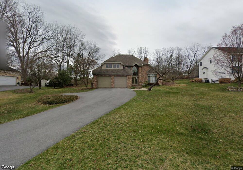
1774 Cambridge Dr State College, PA 16803
Estimated Value: $590,000 - $710,000
4
Beds
4
Baths
2,960
Sq Ft
$226/Sq Ft
Est. Value
About This Home
This home is located at 1774 Cambridge Dr, State College, PA 16803 and is currently estimated at $668,301, approximately $225 per square foot. 1774 Cambridge Dr is a home located in Centre County with nearby schools including Radio Park Elementary School, Park Forest Middle School, and State College Area High School.
Ownership History
Date
Name
Owned For
Owner Type
Purchase Details
Closed on
Jun 3, 2005
Sold by
Durst Richard W and Hurst Karen L
Bought by
Heaney Peter J and Cook Kim D
Current Estimated Value
Home Financials for this Owner
Home Financials are based on the most recent Mortgage that was taken out on this home.
Original Mortgage
$150,000
Interest Rate
5.83%
Mortgage Type
Fannie Mae Freddie Mac
Create a Home Valuation Report for This Property
The Home Valuation Report is an in-depth analysis detailing your home's value as well as a comparison with similar homes in the area
Home Values in the Area
Average Home Value in this Area
Purchase History
| Date | Buyer | Sale Price | Title Company |
|---|---|---|---|
| Heaney Peter J | $415,000 | -- |
Source: Public Records
Mortgage History
| Date | Status | Borrower | Loan Amount |
|---|---|---|---|
| Closed | Heaney Peter J | $150,000 |
Source: Public Records
Tax History Compared to Growth
Tax History
| Year | Tax Paid | Tax Assessment Tax Assessment Total Assessment is a certain percentage of the fair market value that is determined by local assessors to be the total taxable value of land and additions on the property. | Land | Improvement |
|---|---|---|---|---|
| 2025 | $9,034 | $145,865 | $22,010 | $123,855 |
| 2024 | $8,447 | $145,865 | $22,010 | $123,855 |
| 2023 | $8,447 | $145,865 | $22,010 | $123,855 |
| 2022 | $8,219 | $145,865 | $22,010 | $123,855 |
| 2021 | $8,219 | $145,865 | $22,010 | $123,855 |
| 2020 | $8,219 | $145,865 | $22,010 | $123,855 |
| 2019 | $6,977 | $145,865 | $22,010 | $123,855 |
| 2018 | $7,936 | $145,865 | $22,010 | $123,855 |
| 2017 | $7,838 | $145,865 | $22,010 | $123,855 |
| 2016 | -- | $145,865 | $22,010 | $123,855 |
| 2015 | -- | $145,865 | $22,010 | $123,855 |
| 2014 | -- | $145,865 | $22,010 | $123,855 |
Source: Public Records
Map
Nearby Homes
- 1765 Cambridge Dr
- 1635 Princeton Dr
- 2251 Red Oak Ln
- 2292 Oak Leaf Dr
- 1111-C W Aaron Dr
- 291 Oakley Dr
- 169 Sandy Ridge Rd
- 479 Westgate Dr
- 1383 N Allen St
- 505 Hillcrest Ave
- 1832 Waddle Rd
- 465 Hillcrest Ave
- 1836 Waddle Rd
- 253 Bolton Ave
- 835 Galen Dr Unit 835
- 833 Galen Dr
- 936 Taylor St
- 715 W Park Ave
- 861 Willard St
- 1457 Curtin St
- 1772 Cambridge Dr
- 1776 Cambridge Dr
- 1778 Cambridge Dr
- 1773 Cambridge Dr
- 1775 Cambridge Dr
- 1771 Cambridge Dr
- 103 Yorkshire Cir
- 1777 Cambridge Dr
- 1768 Cambridge Dr
- 1769 Cambridge Dr
- 1780 Cambridge Dr
- 1779 Cambridge Dr
- 635 Berkshire Dr
- 629 Berkshire Dr
- 1767 Cambridge Dr
- 637 Berkshire Dr
- 1324 Appletree Cir
- 1766 Cambridge Dr
- 1781 Cambridge Dr