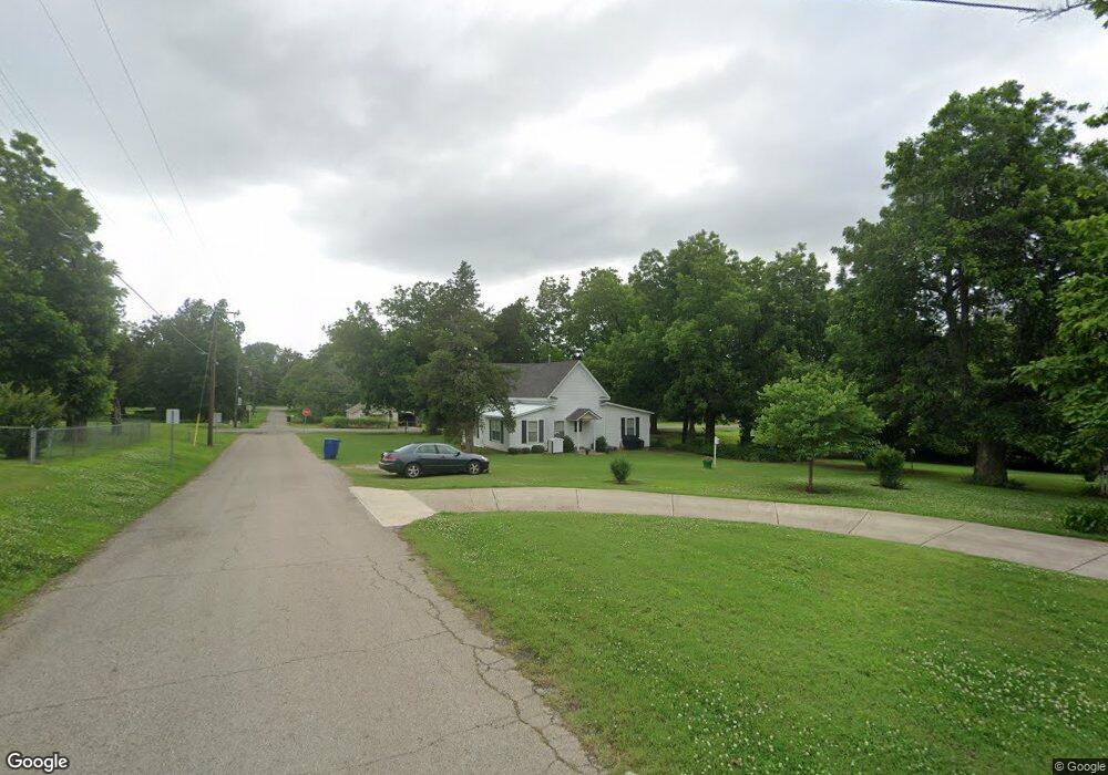
1776 Tim Holt Dr Harrah, OK 73045
Estimated Value: $98,000 - $121,000
2
Beds
1
Bath
1,168
Sq Ft
$95/Sq Ft
Est. Value
About This Home
This home is located at 1776 Tim Holt Dr, Harrah, OK 73045 and is currently estimated at $110,449, approximately $94 per square foot. 1776 Tim Holt Dr is a home located in Oklahoma County with nearby schools including Virginia Smith Elementary School, Russell Babb Elementary School, and Clara Reynolds Elementary School.
Ownership History
Date
Name
Owned For
Owner Type
Purchase Details
Closed on
Sep 15, 2021
Sold by
Mcknight James J and Mcknight Trona L
Bought by
Burks Charlie William and Burks Pauline B
Current Estimated Value
Home Financials for this Owner
Home Financials are based on the most recent Mortgage that was taken out on this home.
Original Mortgage
$78,850
Outstanding Balance
$60,187
Interest Rate
2.1%
Mortgage Type
New Conventional
Estimated Equity
$50,262
Purchase Details
Closed on
Apr 16, 1998
Sold by
Hudiburg Ann V and Hudiburg Frank Layman
Bought by
Mcknight James J and Mcknight Trona L
Create a Home Valuation Report for This Property
The Home Valuation Report is an in-depth analysis detailing your home's value as well as a comparison with similar homes in the area
Home Values in the Area
Average Home Value in this Area
Purchase History
| Date | Buyer | Sale Price | Title Company |
|---|---|---|---|
| Burks Charlie William | $83,000 | First American Title Ins Co | |
| Mcknight James J | $25,000 | Stewart Escrow & Title |
Source: Public Records
Mortgage History
| Date | Status | Borrower | Loan Amount |
|---|---|---|---|
| Open | Burks Charlie William | $78,850 |
Source: Public Records
Tax History Compared to Growth
Tax History
| Year | Tax Paid | Tax Assessment Tax Assessment Total Assessment is a certain percentage of the fair market value that is determined by local assessors to be the total taxable value of land and additions on the property. | Land | Improvement |
|---|---|---|---|---|
| 2024 | $780 | $8,965 | $2,991 | $5,974 |
| 2023 | $780 | $8,965 | $3,541 | $5,424 |
| 2022 | $793 | $8,965 | $3,541 | $5,424 |
| 2021 | $695 | $6,987 | $2,612 | $4,375 |
| 2020 | $680 | $6,655 | $2,470 | $4,185 |
| 2019 | $647 | $6,338 | $2,200 | $4,138 |
| 2018 | $627 | $6,037 | $0 | $0 |
| 2017 | $586 | $5,748 | $1,634 | $4,114 |
| 2016 | $568 | $5,475 | $1,361 | $4,114 |
| 2015 | $535 | $5,214 | $1,513 | $3,701 |
| 2014 | $509 | $4,966 | $1,479 | $3,487 |
Source: Public Records
Map
Nearby Homes
- 1650 N 1st St
- 2220 Church Ave
- Maple Plan at Brush Creek
- Lilac Plan at Brush Creek
- Rosemary Plan at Brush Creek
- Bradford Plan at Brush Creek
- Lavender Plan at Brush Creek
- 1487 N 1st St
- 2231 Church Ave
- 1239 N 2nd St
- 20180 Elm St
- 20629 Twisted Oak Rd
- 972 Tim Holt Dr
- 20687 Brush Creek Blvd
- 20675 Brush Creek Blvd
- 20661 Brush Creek Blvd
- 20657 Brush Creek Blvd
- 20653 Brush Creek Blvd
- 20649 Brush Creek Blvd
- 20645 Brush Creek Blvd