178 Whitetail Run Rd Shamokin, PA 17872
Estimated Value: $80,000 - $326,000
--
Bed
--
Bath
--
Sq Ft
6.2
Acres
About This Home
This home is located at 178 Whitetail Run Rd, Shamokin, PA 17872 and is currently estimated at $191,614. 178 Whitetail Run Rd is a home located in Northumberland County with nearby schools including Line Mountain Elementary School, Line Mountain Middle School, and Line Mountain Junior/Senior High School.
Ownership History
Date
Name
Owned For
Owner Type
Purchase Details
Closed on
Apr 26, 2024
Sold by
Erdman Scott W and Erdman Milinda J
Bought by
Walsh Jared J and Walsh Andrea E
Current Estimated Value
Purchase Details
Closed on
Aug 2, 2019
Sold by
Yorwarth Jeremy M
Bought by
Mcbride Michael P
Home Financials for this Owner
Home Financials are based on the most recent Mortgage that was taken out on this home.
Original Mortgage
$148,156
Interest Rate
3.73%
Mortgage Type
New Conventional
Create a Home Valuation Report for This Property
The Home Valuation Report is an in-depth analysis detailing your home's value as well as a comparison with similar homes in the area
Home Values in the Area
Average Home Value in this Area
Purchase History
| Date | Buyer | Sale Price | Title Company |
|---|---|---|---|
| Walsh Jared J | $50,000 | None Listed On Document | |
| Mcbride Michael P | $185,195 | Expert Title Llc |
Source: Public Records
Mortgage History
| Date | Status | Borrower | Loan Amount |
|---|---|---|---|
| Previous Owner | Mcbride Michael P | $148,156 |
Source: Public Records
Tax History Compared to Growth
Tax History
| Year | Tax Paid | Tax Assessment Tax Assessment Total Assessment is a certain percentage of the fair market value that is determined by local assessors to be the total taxable value of land and additions on the property. | Land | Improvement |
|---|---|---|---|---|
| 2025 | $3,200 | $26,960 | $2,520 | $24,440 |
| 2024 | $3,065 | $26,960 | $2,520 | $24,440 |
| 2023 | $3,065 | $26,960 | $2,520 | $24,440 |
| 2022 | $3,065 | $26,960 | $2,520 | $24,440 |
| 2021 | $3,065 | $26,960 | $2,520 | $24,440 |
| 2020 | $3,065 | $26,960 | $2,520 | $24,440 |
| 2019 | $2,981 | $26,960 | $2,520 | $24,440 |
| 2018 | $2,915 | $26,960 | $2,520 | $24,440 |
| 2017 | $2,757 | $26,960 | $2,520 | $24,440 |
| 2016 | -- | $26,960 | $2,520 | $24,440 |
| 2015 | -- | $26,960 | $2,520 | $24,440 |
| 2014 | -- | $26,960 | $2,520 | $24,440 |
Source: Public Records
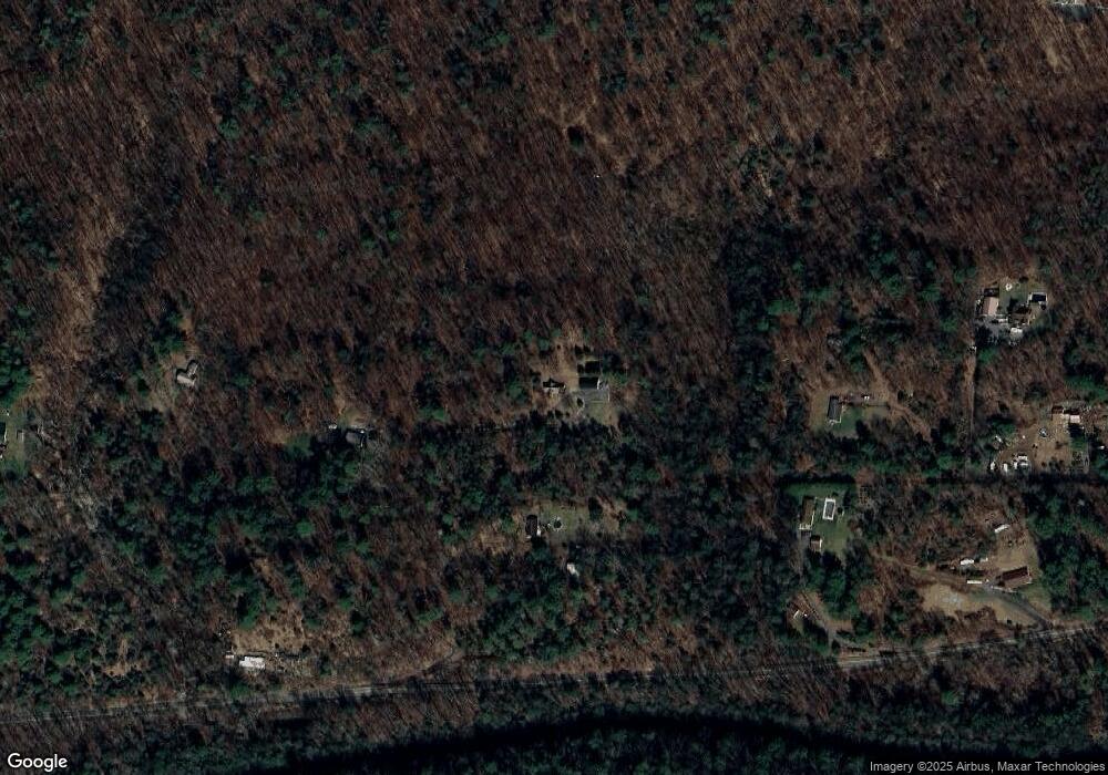
Map
Nearby Homes
- 4133 Lower Rd
- LOT# 3 Blacks Ln
- LOT#2 Blacks Ln
- 4199 Upper Rd
- 1530 W Fern St
- 0 Park Rd
- 2223 Park Rd
- 1401 W Montgomery St
- 1205 W Fern St
- 1714 W Pine St
- 1551 W Holly St
- 1138 W Willow St
- 1211 W Mulberry St
- 1248 W Pine St
- 1354 W Gowen St Unit 1356
- 1501 W Wood St
- 1212 W Spruce St
- 935 W Mulberry St
- 1539 W Lynn St
- 1728 W Walnut St
- 94 Whitetail Run Rd
- 120 Whitetail Run Rd
- 175 Whitetail Run Rd
- 4487 Lower Rd
- 204 Steelers Ln
- 4327 Lower Rd
- 202 Steelers Ln
- 4519 Lower Rd
- 192 Steelers Ln
- 4249 Lower Rd
- 148 Steelers Ln
- 4563 Lower Rd
- 4215 Lower Rd
- 3006 Upper Rd
- 3002 Upper Rd
- 2970 Upper Rd
- 2954 Upper Rd
- 3102 Upper Rd
- 2914 Upper Rd
- 3027 Upper Rd