1780 Neal Ave Delano, MN 55328
Estimated Value: $892,000 - $1,050,000
3
Beds
3
Baths
2,898
Sq Ft
$341/Sq Ft
Est. Value
About This Home
This home is located at 1780 Neal Ave, Delano, MN 55328 and is currently estimated at $989,159, approximately $341 per square foot. 1780 Neal Ave is a home located in Carver County with nearby schools including Watertown-Mayer Elementary School, Watertown-Mayer Middle School, and Watertown Mayer High School.
Ownership History
Date
Name
Owned For
Owner Type
Purchase Details
Closed on
Jun 21, 2005
Sold by
Decker Robert F and Decker Sandra I
Bought by
Sautter Dianne R and Jaskel Robert L
Current Estimated Value
Home Financials for this Owner
Home Financials are based on the most recent Mortgage that was taken out on this home.
Original Mortgage
$476,800
Outstanding Balance
$244,740
Interest Rate
5.5%
Mortgage Type
New Conventional
Estimated Equity
$744,419
Purchase Details
Closed on
Jun 17, 1996
Sold by
Vredenburg Ricky
Bought by
Decker Robert F and Decker Sandra L
Create a Home Valuation Report for This Property
The Home Valuation Report is an in-depth analysis detailing your home's value as well as a comparison with similar homes in the area
Home Values in the Area
Average Home Value in this Area
Purchase History
| Date | Buyer | Sale Price | Title Company |
|---|---|---|---|
| Sautter Dianne R | $596,000 | -- | |
| Decker Robert F | $325,025 | -- |
Source: Public Records
Mortgage History
| Date | Status | Borrower | Loan Amount |
|---|---|---|---|
| Open | Sautter Dianne R | $476,800 |
Source: Public Records
Tax History Compared to Growth
Tax History
| Year | Tax Paid | Tax Assessment Tax Assessment Total Assessment is a certain percentage of the fair market value that is determined by local assessors to be the total taxable value of land and additions on the property. | Land | Improvement |
|---|---|---|---|---|
| 2025 | $7,398 | $869,600 | $396,000 | $473,600 |
| 2024 | $7,594 | $854,300 | $385,000 | $469,300 |
| 2023 | $6,958 | $871,600 | $385,000 | $486,600 |
| 2022 | $6,638 | $674,100 | $267,300 | $406,800 |
| 2021 | $5,966 | $537,400 | $208,100 | $329,300 |
| 2020 | $5,972 | $106,000 | $106,000 | $0 |
| 2019 | $5,592 | $500,200 | $189,400 | $310,800 |
| 2018 | $5,626 | $608,100 | $297,300 | $310,800 |
| 2017 | $5,198 | $575,400 | $286,500 | $288,900 |
| 2016 | $5,344 | $532,700 | $0 | $0 |
| 2015 | $4,862 | $503,200 | $0 | $0 |
| 2014 | $4,862 | $455,700 | $0 | $0 |
Source: Public Records
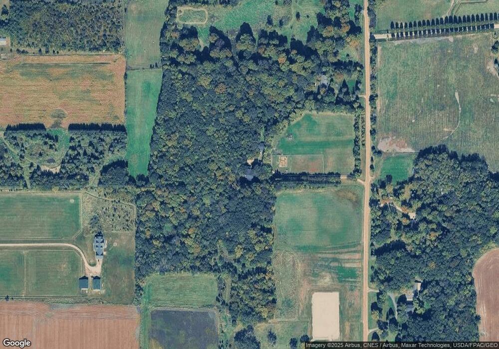
Map
Nearby Homes
- 1630 Oxford Ave
- 11540 Eckert Ave SE
- 2325 Kristi Ln
- 4146 115th St SE
- 600 Paul Ave
- 990 Bur Oak Ln
- 823 Poplar Ln
- 570 Linden Ct
- 545 Linden Ct
- 1286 Balsam Ln
- 648 Hawthorne Ln
- 678 Hawthorne Ln
- The Calhoun Plan at Forest Hills
- The Rockwell Plan at Forest Hills
- The Stratford Plan at Forest Hills
- The Springfield Plan at Forest Hills
- The Wentworth Plan at Forest Hills
- The Arlington Plan at Forest Hills
- The Linden II Plan at Forest Hills
- The Meadow Plan at Forest Hills
- XXXX Neal Ave
- 1740 Neal Ave
- 1845 Oxford Ave
- 1845 Oxford Ave
- 1825 Neal Ave
- 1650 Neal Ave
- 1885 Neal Ave
- 1955 Neal Ave
- 1980 Neal Ave
- 1985 Neal Ave
- 1815 Oxford Ave
- 1675 Oxford Ave
- 2025 Neal Ave
- xxx Oxford Ave
- 10950 County Road 20
- 1925 Oxford Ave
- 1710 Oxford Ave
- 1975 Oxford Ave
- 2075 Neal Ave
- 1675 Neal Ave