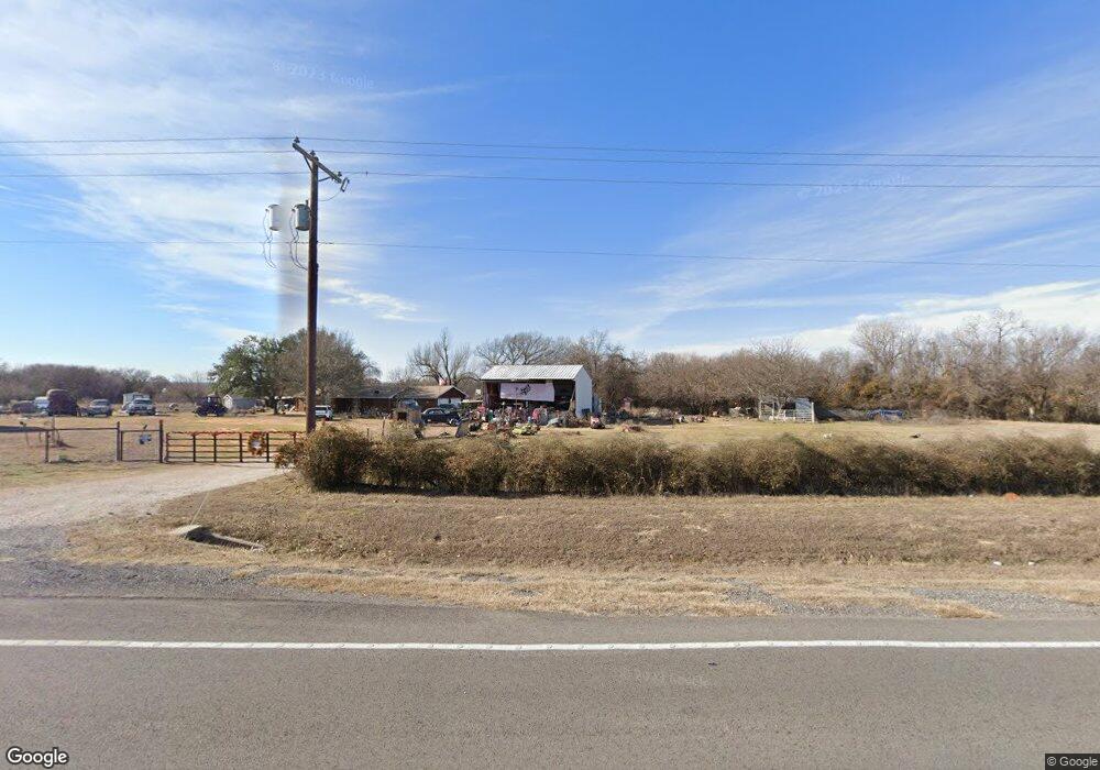
17801 Fm 920 Poolville, TX 76487
Estimated Value: $283,188 - $597,000
3
Beds
2
Baths
1,346
Sq Ft
$377/Sq Ft
Est. Value
About This Home
This home is located at 17801 Fm 920, Poolville, TX 76487 and is currently estimated at $507,047, approximately $376 per square foot. 17801 Fm 920 is a home located in Parker County with nearby schools including Poolville Elementary School, Poolville J High School, and Poolville High School.
Ownership History
Date
Name
Owned For
Owner Type
Purchase Details
Closed on
Mar 16, 2012
Sold by
Finley Joe Dale and Finley Darlene
Bought by
Perkins Michael J
Current Estimated Value
Home Financials for this Owner
Home Financials are based on the most recent Mortgage that was taken out on this home.
Original Mortgage
$121,402
Outstanding Balance
$83,554
Interest Rate
3.91%
Mortgage Type
FHA
Estimated Equity
$423,493
Create a Home Valuation Report for This Property
The Home Valuation Report is an in-depth analysis detailing your home's value as well as a comparison with similar homes in the area
Home Values in the Area
Average Home Value in this Area
Purchase History
| Date | Buyer | Sale Price | Title Company |
|---|---|---|---|
| Perkins Michael J | -- | Stewart |
Source: Public Records
Mortgage History
| Date | Status | Borrower | Loan Amount |
|---|---|---|---|
| Open | Perkins Michael J | $121,402 |
Source: Public Records
Tax History Compared to Growth
Tax History
| Year | Tax Paid | Tax Assessment Tax Assessment Total Assessment is a certain percentage of the fair market value that is determined by local assessors to be the total taxable value of land and additions on the property. | Land | Improvement |
|---|---|---|---|---|
| 2025 | $2,574 | $232,620 | $43,300 | $189,320 |
| 2024 | $2,574 | $190,310 | $33,740 | $156,570 |
| 2023 | $2,574 | $190,310 | $33,740 | $156,570 |
| 2022 | $2,945 | $165,210 | $30,640 | $134,570 |
| 2021 | $3,021 | $165,210 | $30,640 | $134,570 |
| 2020 | $2,318 | $121,240 | $13,660 | $107,580 |
| 2019 | $2,497 | $121,240 | $13,660 | $107,580 |
| 2018 | $2,026 | $96,870 | $9,890 | $86,980 |
| 2017 | $2,067 | $96,870 | $9,890 | $86,980 |
| 2016 | $1,606 | $75,240 | $9,360 | $65,880 |
| 2015 | $1,508 | $75,240 | $9,360 | $65,880 |
| 2014 | $1,214 | $59,840 | $9,360 | $50,480 |
Source: Public Records
Map
Nearby Homes
- 0 Division Ln
- 210 Trails End
- Lot 17 Monarch Ct
- TBD 5.152 Monarch Ct
- 207 Trails End
- 2017 Swallowtail Ct
- 1120 Clover Dr
- 10075 Highway 199 W
- TBD Fm Rd 920
- 13010 W 199 Highwat
- 304 Zion Forest Trail
- 1501 Turpin Lake Rd
- 9879 Highway 199 W
- 1021 Carnagie Rd
- 1033 Carnagie Rd
- 1029 Carnagie Rd
- 1045 Carnagie Rd
- 140 Pine Rd
- 399 Erwin Rd Unit 393,395,397,399
- 101 Lone Star Rd
- 17801 Farm To Market 920
- 17777 Fm 920
- 301 Timbers Cir
- 18100 Fm 920
- 304 Timbers Cir
- 17505 Fm 920
- TBD Division Ln
- 17409 Fm 920
- 17463 Fm 920
- 17403 Fm 920
- 315 Timbers Cir
- 17502 Fm 920
- 321 Timbers Cir
- 369 Timbers Cir
- 307 Timbers Cir
- 17411 Fm 920
- 365 Timbers Cir
- 325 Timbers Cir
- 320 Timbers Cir
- 360 Timbers Cir