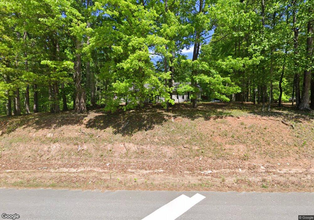
1781 Highway 53 E Dawsonville, GA 30534
Dawson County NeighborhoodEstimated Value: $371,000 - $484,000
3
Beds
2
Baths
1,608
Sq Ft
$261/Sq Ft
Est. Value
About This Home
This home is located at 1781 Highway 53 E, Dawsonville, GA 30534 and is currently estimated at $420,378, approximately $261 per square foot. 1781 Highway 53 E is a home located in Dawson County with nearby schools including Robinson Elementary School, Dawson County Junior High School, and Dawson County Middle School.
Ownership History
Date
Name
Owned For
Owner Type
Purchase Details
Closed on
Jun 2, 1994
Sold by
Abbott William T
Bought by
Abbott William T
Current Estimated Value
Purchase Details
Closed on
Mar 3, 1990
Sold by
Donna S
Bought by
Abbott William T
Purchase Details
Closed on
Mar 26, 1986
Sold by
Goswick Winfred & Pa
Bought by
Abbott William T
Purchase Details
Closed on
Mar 2, 1985
Sold by
Gilreath Denise
Bought by
Goswick Winfred & Pa
Purchase Details
Closed on
Aug 17, 1984
Sold by
David Edgar George
Bought by
Gilreath Denise
Create a Home Valuation Report for This Property
The Home Valuation Report is an in-depth analysis detailing your home's value as well as a comparison with similar homes in the area
Home Values in the Area
Average Home Value in this Area
Purchase History
| Date | Buyer | Sale Price | Title Company |
|---|---|---|---|
| Abbott William T | -- | -- | |
| Abbott William T | -- | -- | |
| Abbott William T | $20,000 | -- | |
| Goswick Winfred & Pa | $15,000 | -- | |
| Gilreath Denise | $25,000 | -- |
Source: Public Records
Tax History Compared to Growth
Tax History
| Year | Tax Paid | Tax Assessment Tax Assessment Total Assessment is a certain percentage of the fair market value that is determined by local assessors to be the total taxable value of land and additions on the property. | Land | Improvement |
|---|---|---|---|---|
| 2024 | $1,123 | $136,164 | $42,520 | $93,644 |
| 2023 | $1,125 | $127,004 | $32,360 | $94,644 |
| 2022 | $932 | $110,520 | $26,480 | $84,040 |
| 2021 | $721 | $98,880 | $26,480 | $72,400 |
| 2020 | $1,880 | $96,800 | $26,720 | $70,080 |
| 2019 | $2,054 | $88,080 | $26,720 | $61,360 |
| 2018 | $2,059 | $88,080 | $26,720 | $61,360 |
| 2017 | $1,661 | $71,468 | $25,840 | $45,628 |
| 2016 | $1,595 | $68,701 | $25,840 | $42,861 |
| 2015 | $1,507 | $63,064 | $23,514 | $39,550 |
| 2014 | $1,440 | $58,502 | $23,514 | $34,988 |
| 2013 | -- | $52,586 | $23,513 | $29,073 |
Source: Public Records
Map
Nearby Homes
- 0 Afton #4 Rd
- 0 Rd
- 0 Rd
- 74 E Gate Dr
- 305 Mountain Brook Rd
- 0 Mountain Brook Rd Unit 7614426
- 0 Mountain Brook Rd Unit 10571981
- 0 Mountain Brook Rd Unit 7614434
- 0 Mountain Brook Rd Unit 10570759
- 301 Collins Rd
- 204 Hugh Stowers Rd
- 113 Sandberg Way
- 262 Magnolia Dr
- 46 Fernbrook Trail
- 181 Longleaf St
- 270 Shepard Dr
- 10 Sandberg Way
- 72 Rand Way
- 21 Shepard Dr
- 0 Mill Creek Dr Unit 7479868
- 000 Buddy Burt Rd
- 0 Buddy Burt Rd
- 0 Buddy Burt Rd Unit 7583163
- 0 Buddy Burt Rd Unit 7583161
- 0 Buddy Burt Rd Unit 3054247
- 1784 Highway 53 E
- 1604 Highway 53 E
- 532 Mountain Lake Rd
- 82 Buddy Burt Rd
- 6660 Dusk St Unit LOT 62
- 2315 Lumpkin Campgound Rd S
- 2315 Lumkin Campgound Rd S
- 6660 Dusk Lot 62 St
- 6430 Setting Down Creek Lot 9 Creek Unit LOT 9
- 6415 Hyzer Way - Lot 6
- 0 Sams Pirkle Lake Unit 10586699
- 50 Shardwood Place
- 26 Shardwood Place
- 1785 Highway 53 E
- 1567 Highway 53 E