17832 222nd St Monticello, IA 52310
Estimated Value: $353,000 - $480,000
2
Beds
4
Baths
1,848
Sq Ft
$215/Sq Ft
Est. Value
About This Home
This home is located at 17832 222nd St, Monticello, IA 52310 and is currently estimated at $396,572, approximately $214 per square foot. 17832 222nd St is a home located in Jones County with nearby schools including Shannon Elementary School, Carpenter Elementary School, and Monticello Middle School.
Ownership History
Date
Name
Owned For
Owner Type
Purchase Details
Closed on
Jun 14, 2012
Sold by
Mitchell Jack H
Bought by
Lambert Phillip R and Lambert Jacqueline S
Current Estimated Value
Home Financials for this Owner
Home Financials are based on the most recent Mortgage that was taken out on this home.
Original Mortgage
$150,000
Outstanding Balance
$99,157
Interest Rate
2.87%
Mortgage Type
Adjustable Rate Mortgage/ARM
Estimated Equity
$297,415
Create a Home Valuation Report for This Property
The Home Valuation Report is an in-depth analysis detailing your home's value as well as a comparison with similar homes in the area
Home Values in the Area
Average Home Value in this Area
Purchase History
| Date | Buyer | Sale Price | Title Company |
|---|---|---|---|
| Lambert Phillip R | $223,500 | None Available |
Source: Public Records
Mortgage History
| Date | Status | Borrower | Loan Amount |
|---|---|---|---|
| Open | Lambert Phillip R | $150,000 |
Source: Public Records
Tax History Compared to Growth
Tax History
| Year | Tax Paid | Tax Assessment Tax Assessment Total Assessment is a certain percentage of the fair market value that is determined by local assessors to be the total taxable value of land and additions on the property. | Land | Improvement |
|---|---|---|---|---|
| 2025 | $4,638 | $381,470 | $40,250 | $341,220 |
| 2024 | $4,638 | $347,660 | $40,250 | $307,410 |
| 2023 | $4,324 | $347,660 | $40,250 | $307,410 |
| 2022 | $3,684 | $270,540 | $34,500 | $236,040 |
| 2021 | $3,684 | $270,540 | $34,500 | $236,040 |
| 2020 | $3,402 | $246,050 | $34,500 | $211,550 |
| 2019 | $3,332 | $233,570 | $0 | $0 |
| 2018 | $3,014 | $233,570 | $0 | $0 |
| 2017 | $3,014 | $222,090 | $0 | $0 |
| 2016 | $3,096 | $222,090 | $0 | $0 |
| 2015 | $3,096 | $210,410 | $0 | $0 |
| 2014 | $3,006 | $210,410 | $0 | $0 |
| 2013 | $2,934 | $210,410 | $31,000 | $179,410 |
Source: Public Records
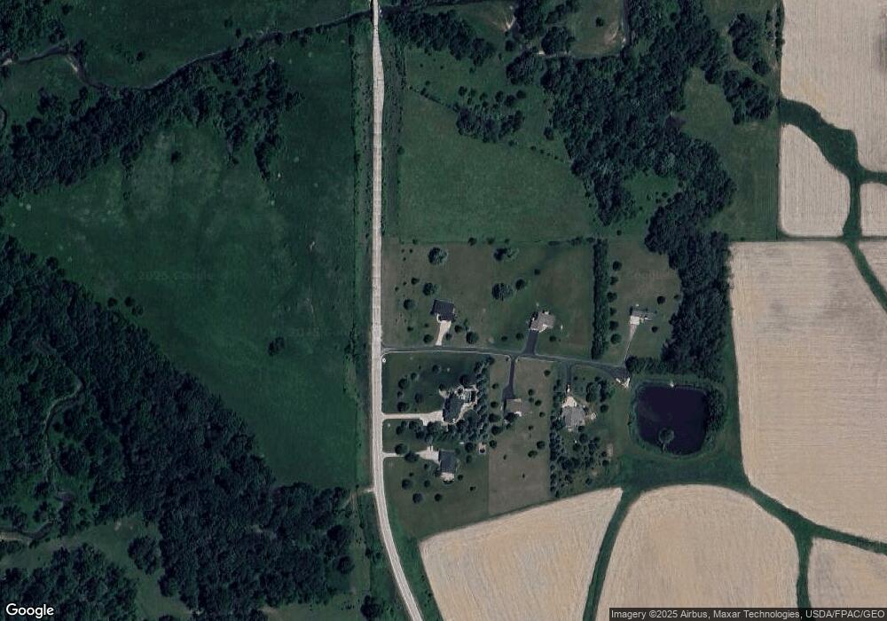
Map
Nearby Homes
- 17289 County Road D62
- 645 N Birch St
- 458 W 7th St
- 948 W 1st St
- 830 N Cedar St
- 0 W 1st St
- 130 E 11th St
- 303 W 6th St
- 611 N Cedar St
- 708 W Washington St
- 717 N Maple St
- 201 W 4th St
- 512 Park Dr
- 121 N Walnut St
- 203 N Main St
- 913 S Main St
- 817 Timberline Rd
- 823 Timberline Rd
- 19979 200th Ave
- 3108 324th St
- 22152 Stone Bridge Rd
- 17800 222nd St
- 17801 222nd St
- 22150 Stone Bridge Rd
- 17787 222nd St
- 17790 222nd St
- 22509 Stone Bridge Rd
- 21953 Stone Bridge Rd
- 21779 Stone Bridge Rd
- 21772 Stone Bridge Rd
- 21757 Stone Bridge Rd
- 17901 Timber Rd
- 21726 Stone Bridge Rd
- 21675 Stone Bridge Rd
- 21642 Stone Bridge Rd
- 21623 Stone Bridge Rd
- 21587 Stone Bridge Rd
- 21612 Stone Bridge Rd
- 18002 Timber Rd
- 17213 Hardscrabble Rd