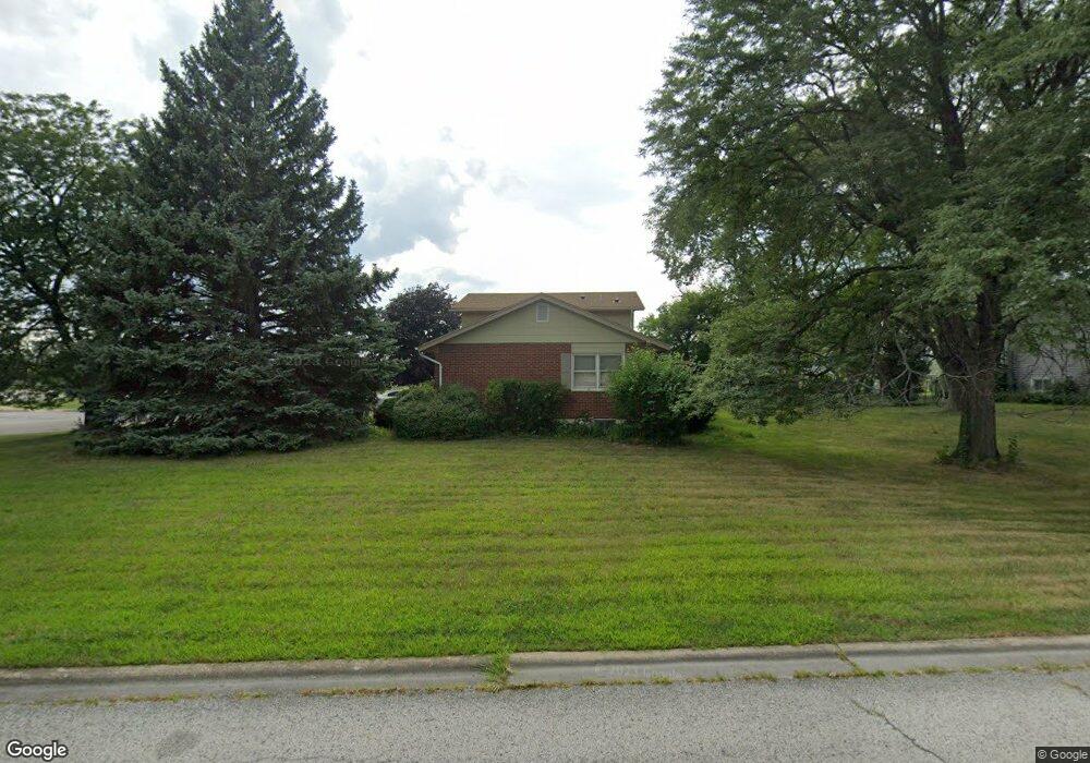
17840 Michael Ave Country Club Hills, IL 60478
Estimated Value: $222,000 - $262,674
3
Beds
2
Baths
1,854
Sq Ft
$135/Sq Ft
Est. Value
About This Home
This home is located at 17840 Michael Ave, Country Club Hills, IL 60478 and is currently estimated at $250,169, approximately $134 per square foot. 17840 Michael Ave is a home located in Cook County with nearby schools including Zenon J Sykuta School, Meadowview Intermediate School, and Southwood Middle School.
Ownership History
Date
Name
Owned For
Owner Type
Purchase Details
Closed on
Nov 18, 2018
Sold by
Cook Bobby
Bought by
Cook Bobby and Cook Admire
Current Estimated Value
Purchase Details
Closed on
Aug 23, 2001
Sold by
Reevas Michael F and Kurzawski Sharon A
Bought by
Cooks Bobby
Home Financials for this Owner
Home Financials are based on the most recent Mortgage that was taken out on this home.
Original Mortgage
$145,938
Outstanding Balance
$56,118
Interest Rate
7.11%
Mortgage Type
FHA
Estimated Equity
$194,051
Create a Home Valuation Report for This Property
The Home Valuation Report is an in-depth analysis detailing your home's value as well as a comparison with similar homes in the area
Home Values in the Area
Average Home Value in this Area
Purchase History
| Date | Buyer | Sale Price | Title Company |
|---|---|---|---|
| Cook Bobby | -- | None Available | |
| Cooks Bobby | $148,000 | Chicago Title Insurance Co |
Source: Public Records
Mortgage History
| Date | Status | Borrower | Loan Amount |
|---|---|---|---|
| Open | Cooks Bobby | $145,938 |
Source: Public Records
Tax History Compared to Growth
Tax History
| Year | Tax Paid | Tax Assessment Tax Assessment Total Assessment is a certain percentage of the fair market value that is determined by local assessors to be the total taxable value of land and additions on the property. | Land | Improvement |
|---|---|---|---|---|
| 2024 | $2,868 | $19,000 | $4,059 | $14,941 |
| 2023 | $4,181 | $19,000 | $4,059 | $14,941 |
| 2022 | $4,181 | $12,782 | $3,479 | $9,303 |
| 2021 | $6,231 | $12,781 | $3,478 | $9,303 |
| 2020 | $6,532 | $12,781 | $3,478 | $9,303 |
| 2019 | $4,761 | $10,567 | $3,188 | $7,379 |
| 2018 | $4,546 | $10,567 | $3,188 | $7,379 |
| 2017 | $4,515 | $10,567 | $3,188 | $7,379 |
| 2016 | $4,477 | $9,818 | $2,899 | $6,919 |
| 2015 | $4,246 | $9,818 | $2,899 | $6,919 |
| 2014 | $3,029 | $9,818 | $2,899 | $6,919 |
| 2013 | $4,787 | $11,579 | $2,899 | $8,680 |
Source: Public Records
Map
Nearby Homes
- 4656 176th Place
- 17940 Michael Ave
- 17925 John Ave
- 5013 180th St
- 4847 175th St
- 4411 177th Place
- 4421 179th St
- 4826 Summerhill Dr
- 18300 Lavergne Ave
- 18038 Juneway Ct
- 4240 176th St
- 4207 176th Place
- 18057 Juneway Ct
- 4200 W 176th Place
- 18331 John Ave
- 18109 Idlewild Dr
- 18115 Idlewild Dr
- 17942 Edwards Ave
- 18207 Ravisloe Terrace
- 18351 Anthony Ave
- 17830 Michael Ave
- 17800 Michael Ave
- 17821 Michael Ave
- 17811 Michael Ave
- 17801 Michael Ave
- 4716 179th St
- 17730 Michael Ave
- 17731 Michael Ave
- 99999 Confidential Way
- 9999 S Confidential Ave
- 9999 Confidential Unit 4850
- 17810 Rosewood Terrace
- 17800 Rosewood Terrace
- 17721 Michael Ave
- 17820 Rosewood Terrace
- 17710 Michael Ave
- 17740 Rosewood Terrace
- 17730 Rosewood Terrace
- 4700 179th St
- 17711 Michael Ave