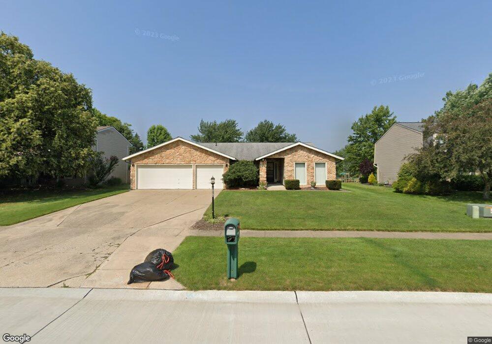
17876 Blazing Star Dr Strongsville, OH 44136
Estimated Value: $344,000 - $423,000
3
Beds
2
Baths
2,265
Sq Ft
$168/Sq Ft
Est. Value
About This Home
This home is located at 17876 Blazing Star Dr, Strongsville, OH 44136 and is currently estimated at $379,422, approximately $167 per square foot. 17876 Blazing Star Dr is a home located in Cuyahoga County with nearby schools including Strongsville High School.
Ownership History
Date
Name
Owned For
Owner Type
Purchase Details
Closed on
Jan 12, 2023
Sold by
Donald T And Natalie C Bilski Revocable and Bilski Natalie C
Bought by
Bilski Natalie C
Current Estimated Value
Purchase Details
Closed on
May 26, 2000
Sold by
Bilski Donald T and Bilski Natalie C
Bought by
Bilski Donald T and Bilski Natalie C
Purchase Details
Closed on
Nov 15, 1985
Sold by
Harrington Patrick J
Bought by
Bilski Donald T and Bilski Natalie C
Purchase Details
Closed on
Jul 21, 1978
Bought by
Harrington Patrick J
Purchase Details
Closed on
Feb 6, 1978
Bought by
Production Homes Inc
Purchase Details
Closed on
Jan 1, 1977
Bought by
North East Land Co
Create a Home Valuation Report for This Property
The Home Valuation Report is an in-depth analysis detailing your home's value as well as a comparison with similar homes in the area
Home Values in the Area
Average Home Value in this Area
Purchase History
| Date | Buyer | Sale Price | Title Company |
|---|---|---|---|
| Bilski Natalie C | -- | None Listed On Document | |
| Bilski Donald T | -- | -- | |
| Bilski Donald T | $94,000 | -- | |
| Harrington Patrick J | $79,600 | -- | |
| Production Homes Inc | $19,000 | -- | |
| North East Land Co | -- | -- |
Source: Public Records
Tax History Compared to Growth
Tax History
| Year | Tax Paid | Tax Assessment Tax Assessment Total Assessment is a certain percentage of the fair market value that is determined by local assessors to be the total taxable value of land and additions on the property. | Land | Improvement |
|---|---|---|---|---|
| 2024 | $4,846 | $113,015 | $22,365 | $90,650 |
| 2023 | $5,444 | $96,110 | $22,680 | $73,430 |
| 2022 | $5,430 | $96,110 | $22,680 | $73,430 |
| 2021 | $5,387 | $96,110 | $22,680 | $73,430 |
| 2020 | $4,882 | $78,790 | $18,590 | $60,200 |
| 2019 | $4,739 | $225,100 | $53,100 | $172,000 |
| 2018 | $4,278 | $78,790 | $18,590 | $60,200 |
| 2017 | $4,333 | $74,070 | $14,740 | $59,330 |
| 2016 | $4,298 | $74,070 | $14,740 | $59,330 |
| 2015 | $4,359 | $74,070 | $14,740 | $59,330 |
| 2014 | $4,359 | $74,070 | $14,740 | $59,330 |
Source: Public Records
Map
Nearby Homes
- 17130 Golden Star Dr
- 16486 S Red Rock Dr
- 18229 Howe Rd
- 17159 Turkey Meadow Ln
- 16650 Lanier Ave
- 16450 Howe Rd
- 16711 Beech Cir
- 17682 Drake Rd
- 17024 Bear Creek Ln
- 14985 Camden Cir
- 18987 Laurell Cir
- 19694 Benbow Rd
- 14132 Walking Stick Way
- 18294 Drake Rd
- 15604-REAR Boston Rd
- 17934 Cambridge Oval
- 19740 Benbow Rd
- 18411 Yorktown Oval
- 3550 Boston Rd
- 15639 Indianhead Ln
- 17842 Blazing Star Dr
- 17912 Blazing Star Dr
- 17808 Blazing Star Dr
- 17138 Golden Star Dr
- 17857 Blazing Star Dr
- 16235 Drake Rd
- 17831 Blazing Star Dr
- 17147 Golden Star Dr
- 17141 Golden Star Dr
- 17805 Blazing Star Dr
- 17135 Golden Star Dr
- 17766 Blazing Star Dr
- 18052 Fern Canyon Dr
- 17872 Howe Rd
- 17150 Golden Star Dr
- 17129 Golden Star Dr
- 17838 Howe Rd
- 17906 Howe Rd
- 17153 S Red Rock Dr
- 17149 S Red Rock Dr