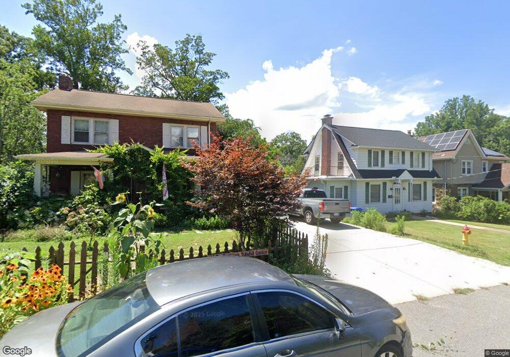
179 Brucemont Cir Asheville, NC 28806
West Asheville NeighborhoodEstimated Value: $632,000 - $723,000
4
Beds
2
Baths
1,685
Sq Ft
$396/Sq Ft
Est. Value
About This Home
This home is located at 179 Brucemont Cir, Asheville, NC 28806 and is currently estimated at $668,009, approximately $396 per square foot. 179 Brucemont Cir is a home located in Buncombe County with nearby schools including Hall Fletcher Elementary, Isaac Dickson Elementary, and Ira B Jones Elementary.
Ownership History
Date
Name
Owned For
Owner Type
Purchase Details
Closed on
Oct 29, 2010
Sold by
Littleton Johnathan Andrew and Littleton Angela
Bought by
Marshall Amy
Current Estimated Value
Home Financials for this Owner
Home Financials are based on the most recent Mortgage that was taken out on this home.
Original Mortgage
$194,000
Outstanding Balance
$128,649
Interest Rate
4.37%
Mortgage Type
New Conventional
Estimated Equity
$539,360
Purchase Details
Closed on
Jul 20, 2009
Sold by
Estate Of Francis A Littleton
Bought by
Littleton Johnathan Andrew
Create a Home Valuation Report for This Property
The Home Valuation Report is an in-depth analysis detailing your home's value as well as a comparison with similar homes in the area
Home Values in the Area
Average Home Value in this Area
Purchase History
| Date | Buyer | Sale Price | Title Company |
|---|---|---|---|
| Marshall Amy | $242,500 | None Available | |
| Littleton Johnathan Andrew | -- | None Available |
Source: Public Records
Mortgage History
| Date | Status | Borrower | Loan Amount |
|---|---|---|---|
| Open | Marshall Amy | $194,000 |
Source: Public Records
Tax History Compared to Growth
Tax History
| Year | Tax Paid | Tax Assessment Tax Assessment Total Assessment is a certain percentage of the fair market value that is determined by local assessors to be the total taxable value of land and additions on the property. | Land | Improvement |
|---|---|---|---|---|
| 2025 | $4,823 | $474,000 | $99,400 | $374,600 |
| 2024 | $4,823 | $466,800 | $99,400 | $367,400 |
| 2023 | $4,823 | $466,800 | $99,400 | $367,400 |
| 2022 | $4,655 | $466,800 | $99,400 | $367,400 |
| 2021 | $4,655 | $466,800 | $0 | $0 |
| 2020 | $4,234 | $392,800 | $0 | $0 |
| 2019 | $4,234 | $392,800 | $0 | $0 |
| 2018 | $3,997 | $370,800 | $0 | $0 |
| 2017 | $4,034 | $210,200 | $0 | $0 |
| 2016 | $2,583 | $210,200 | $0 | $0 |
| 2015 | $2,583 | $210,200 | $0 | $0 |
| 2014 | $2,552 | $210,200 | $0 | $0 |
Source: Public Records
Map
Nearby Homes
- 197 Brucemont Cir
- 74 Brucemont Cir
- 141 Louisiana Ave
- 60 Dorchester Ave
- 54 Louisiana Ave
- 55 Herron Ave
- 7 Mauricet Ln
- 27 Mauricet Ln
- 5 Orrinel Way
- 18 Jarrett St
- 31 Oakwood St
- 37 Bryant St
- 18 Sand Hill Rd
- 20 Cloyes St
- 30 Sand Hill Rd
- 52 Boyd Ave
- 113 Burton St
- 68 1/2 Nevada Ave
- 75 Nevada Ave
- 56 Brevard Rd
- 173 Brucemont Cir
- 183 Brucemont Cir
- 169 Brucemont Cir
- 187 Brucemont Cir
- 105 Louisiana Ave
- 113 Louisiana Ave
- 97 Louisiana Ave
- 193 Brucemont Cir
- 180 Brucemont Cir
- 174 Brucemont Cir
- 95 Louisiana Ave
- 184 Brucemont Cir
- 168 Brucemont Cir
- 167 Brucemont Cir
- 117 Louisiana Ave
- 87 Louisiana Ave
- 164 Brucemont Cir
- 196 Brucemont Cir
- 125 Louisiana Ave
- 201 Brucemont Cir