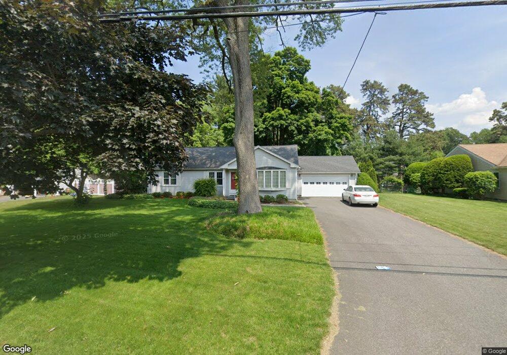
179 Burbank Rd Longmeadow, MA 01106
Estimated Value: $562,655 - $707,000
4
Beds
3
Baths
2,588
Sq Ft
$252/Sq Ft
Est. Value
About This Home
This home is located at 179 Burbank Rd, Longmeadow, MA 01106 and is currently estimated at $652,914, approximately $252 per square foot. 179 Burbank Rd is a home located in Hampden County with nearby schools including Blueberry Hill, Williams Middle School, and Longmeadow High School.
Ownership History
Date
Name
Owned For
Owner Type
Purchase Details
Closed on
Sep 19, 2013
Sold by
Methe Richard R and Methe Joan M
Bought by
Joan M Methe Ret
Current Estimated Value
Purchase Details
Closed on
Dec 21, 2012
Sold by
Methe Joan M and Methe Richard R
Bought by
Joan M Methe Ret
Purchase Details
Closed on
Nov 1, 1980
Bought by
Methe Joan M
Create a Home Valuation Report for This Property
The Home Valuation Report is an in-depth analysis detailing your home's value as well as a comparison with similar homes in the area
Home Values in the Area
Average Home Value in this Area
Purchase History
| Date | Buyer | Sale Price | Title Company |
|---|---|---|---|
| Joan M Methe Ret | -- | -- | |
| Joan M Methe Ret | -- | -- | |
| Methe Joan M | $61,000 | -- |
Source: Public Records
Mortgage History
| Date | Status | Borrower | Loan Amount |
|---|---|---|---|
| Previous Owner | Methe Joan M | $60,000 | |
| Previous Owner | Methe Joan M | $15,000 | |
| Previous Owner | Methe Joan M | $100,000 | |
| Previous Owner | Methe Joan M | $88,000 |
Source: Public Records
Tax History Compared to Growth
Tax History
| Year | Tax Paid | Tax Assessment Tax Assessment Total Assessment is a certain percentage of the fair market value that is determined by local assessors to be the total taxable value of land and additions on the property. | Land | Improvement |
|---|---|---|---|---|
| 2025 | $10,326 | $488,900 | $159,000 | $329,900 |
| 2024 | $10,110 | $488,900 | $159,000 | $329,900 |
| 2023 | $9,432 | $411,500 | $137,100 | $274,400 |
| 2022 | $9,058 | $367,600 | $137,100 | $230,500 |
| 2021 | $8,701 | $351,700 | $130,500 | $221,200 |
| 2020 | $8,611 | $355,700 | $123,300 | $232,400 |
| 2019 | $8,157 | $338,600 | $123,300 | $215,300 |
| 2018 | $7,584 | $311,600 | $151,500 | $160,100 |
| 2017 | $7,451 | $316,000 | $151,500 | $164,500 |
| 2016 | $7,236 | $297,400 | $139,400 | $158,000 |
| 2015 | $6,992 | $296,000 | $138,000 | $158,000 |
Source: Public Records
Map
Nearby Homes
- 132 Coventry Ln
- 44 Wendover Rd
- 19 Normandy Rd
- 124 Tecumseh Dr
- 114 Park Dr
- 260 Longmeadow St
- 911 Williams St
- 32 Edgewood Ave
- 52 Smithfield Ct
- 37 Captain Rd
- 64 Magnolia Cir
- 50 Elmwood Ave
- 0 Dennis Rd
- 111 Ashford Rd
- 118 Field Rd
- 202 Williamsburg Dr
- 47 Academy Dr
- 21 Brentwood St
- 15 Bronson Terrace
- 217 Inverness Ln