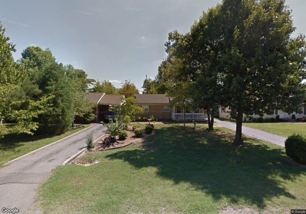
179 Iroquois Dr Paducah, KY 42001
Cherokee NeighborhoodEstimated Value: $190,000 - $202,706
--
Bed
2
Baths
1,418
Sq Ft
$137/Sq Ft
Est. Value
About This Home
This home is located at 179 Iroquois Dr, Paducah, KY 42001 and is currently estimated at $194,927, approximately $137 per square foot. 179 Iroquois Dr is a home located in McCracken County with nearby schools including Lone Oak Elementary School, Lone Oak Intermediate School, and Lone Oak Middle School.
Ownership History
Date
Name
Owned For
Owner Type
Purchase Details
Closed on
Aug 12, 2022
Sold by
Lynwood Mathis J and Lynwood Carol
Bought by
Thompson Mallory L
Current Estimated Value
Home Financials for this Owner
Home Financials are based on the most recent Mortgage that was taken out on this home.
Original Mortgage
$115,000
Outstanding Balance
$110,110
Interest Rate
5.7%
Mortgage Type
New Conventional
Estimated Equity
$84,817
Create a Home Valuation Report for This Property
The Home Valuation Report is an in-depth analysis detailing your home's value as well as a comparison with similar homes in the area
Home Values in the Area
Average Home Value in this Area
Purchase History
| Date | Buyer | Sale Price | Title Company |
|---|---|---|---|
| Thompson Mallory L | $144,000 | Jackson Kelly Pllc |
Source: Public Records
Mortgage History
| Date | Status | Borrower | Loan Amount |
|---|---|---|---|
| Open | Thompson Mallory L | $115,000 |
Source: Public Records
Tax History Compared to Growth
Tax History
| Year | Tax Paid | Tax Assessment Tax Assessment Total Assessment is a certain percentage of the fair market value that is determined by local assessors to be the total taxable value of land and additions on the property. | Land | Improvement |
|---|---|---|---|---|
| 2024 | $1,276 | $144,000 | $0 | $0 |
| 2023 | $1,280 | $144,000 | $0 | $0 |
| 2022 | $936 | $103,500 | $0 | $0 |
| 2021 | $311 | $34,500 | $0 | $0 |
| 2020 | $322 | $35,700 | $0 | $0 |
| 2019 | $321 | $35,700 | $0 | $0 |
| 2018 | $332 | $37,400 | $0 | $0 |
| 2017 | $657 | $75,000 | $0 | $0 |
| 2016 | $657 | $75,000 | $0 | $0 |
| 2015 | $339 | $75,000 | $0 | $0 |
| 2013 | $339 | $75,000 | $0 | $0 |
| 2012 | $339 | $75,000 | $0 | $0 |
Source: Public Records
Map
Nearby Homes
- 216 Mohawk Dr
- 244 Iroquois Dr
- 255 Seminole Dr
- 51 Martin Cir
- 44 Martin Cir
- 395 Villa Ridge Dr
- 300 Vermont St
- 105 Milton Dr Unit A & B
- 436 Columbus St
- 321 Illinois St
- 135 Ecco Ln Unit 139 Ecco Lane
- 200 Wright Ave Unit 204 Wright Avenue
- 109 Brookside Cove
- 3211 Oregon St
- 208 Wright Ave Unit 212 Wright Avenue
- 331 Atlanta St
- 150 N Concord Ave
- 647 Elmdale Rd Unit Lot 10
- 647 Elmdale Rd
- 76 Spring Valley Cove
- 173 Iroquois Dr
- 185 Iroquois Dr
- 167 Iroquois Dr
- 191 Iroquois Dr
- 170 Mohawk Dr
- 164 Mohawk Dr
- 176 Mohawk Dr
- 176 Iroquois Dr
- 161 Iroquois Dr
- 184 Iroquois Dr
- 158 Mohawk Dr
- 180 Mohawk Dr
- 190 Iroquois Dr
- 2306 Shawnee Ln
- 152 Mohawk Dr
- 162 Iroquois Dr
- 151 Iroquois Dr
- 2326 Shawnee Ln
- 196 Iroquois Dr
- 2316 Shawnee Ln