179 Plymouth St Abington, MA 02351
Estimated Value: $524,000 - $570,000
3
Beds
2
Baths
1,535
Sq Ft
$355/Sq Ft
Est. Value
About This Home
This home is located at 179 Plymouth St, Abington, MA 02351 and is currently estimated at $544,339, approximately $354 per square foot. 179 Plymouth St is a home located in Plymouth County with nearby schools including Beaver Brook Elementary School, Abington Middle School, and Woodsdale School.
Ownership History
Date
Name
Owned For
Owner Type
Purchase Details
Closed on
Jul 26, 2004
Sold by
Glennon Mary B
Bought by
Khalil Darryl F and Khalil Shari
Current Estimated Value
Home Financials for this Owner
Home Financials are based on the most recent Mortgage that was taken out on this home.
Original Mortgage
$242,400
Interest Rate
6.28%
Mortgage Type
Purchase Money Mortgage
Purchase Details
Closed on
Jun 23, 2000
Sold by
Mckenna Richard S
Bought by
Glennon Mary B
Create a Home Valuation Report for This Property
The Home Valuation Report is an in-depth analysis detailing your home's value as well as a comparison with similar homes in the area
Home Values in the Area
Average Home Value in this Area
Purchase History
| Date | Buyer | Sale Price | Title Company |
|---|---|---|---|
| Khalil Darryl F | $303,000 | -- | |
| Glennon Mary B | $105,000 | -- |
Source: Public Records
Mortgage History
| Date | Status | Borrower | Loan Amount |
|---|---|---|---|
| Open | Glennon Mary B | $220,000 | |
| Closed | Glennon Mary B | $242,400 | |
| Previous Owner | Glennon Mary B | $145,000 | |
| Previous Owner | Glennon Mary B | $50,000 |
Source: Public Records
Tax History Compared to Growth
Tax History
| Year | Tax Paid | Tax Assessment Tax Assessment Total Assessment is a certain percentage of the fair market value that is determined by local assessors to be the total taxable value of land and additions on the property. | Land | Improvement |
|---|---|---|---|---|
| 2025 | $5,874 | $449,800 | $244,100 | $205,700 |
| 2024 | $5,616 | $419,700 | $211,500 | $208,200 |
| 2023 | $5,546 | $390,300 | $184,600 | $205,700 |
| 2022 | $5,347 | $351,300 | $162,100 | $189,200 |
| 2021 | $4,987 | $302,600 | $147,500 | $155,100 |
| 2020 | $91 | $298,300 | $143,200 | $155,100 |
| 2019 | $90 | $273,200 | $136,600 | $136,600 |
| 2018 | $91 | $263,200 | $136,600 | $126,600 |
| 2017 | $4,546 | $242,900 | $136,600 | $106,300 |
| 2016 | $4,242 | $236,600 | $130,300 | $106,300 |
| 2015 | $4,010 | $235,900 | $130,300 | $105,600 |
Source: Public Records
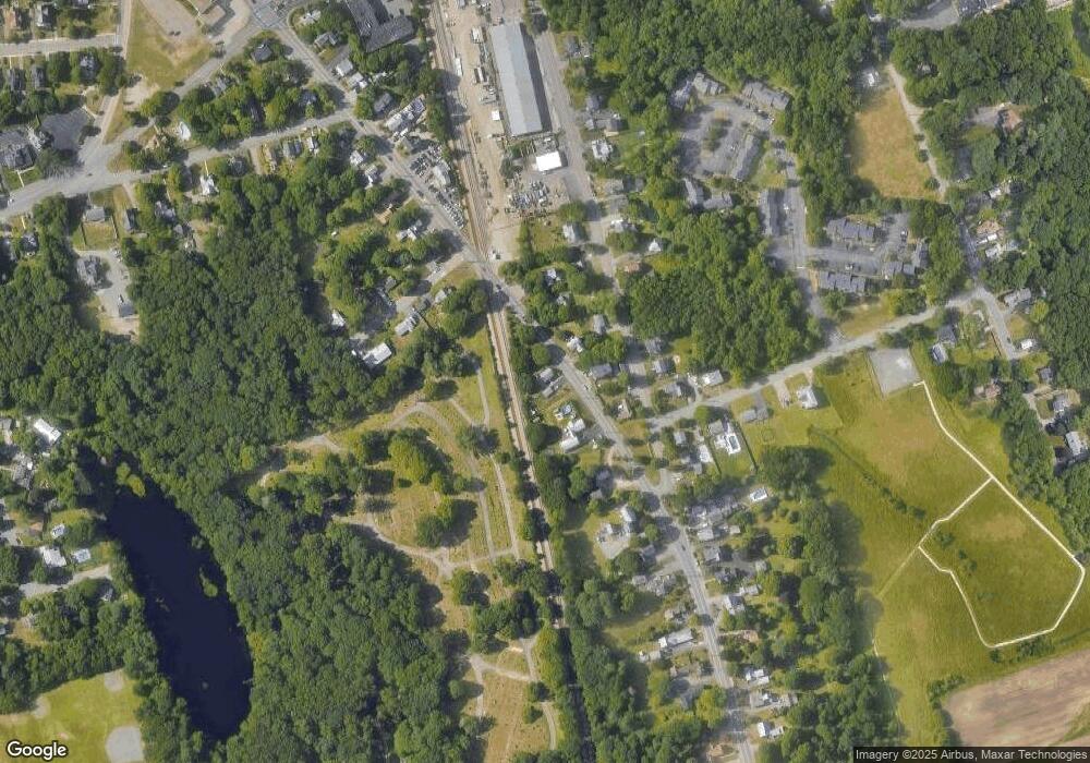
Map
Nearby Homes
- 96 Plymouth St
- 38 Lantern Ln
- 1042 Washington St
- 925 Washington St
- 676 Bedford St
- 0 Bedford St
- 133 Andrew Ford Way
- 1353 Washington St
- 40 Wales St
- 57 Battery St
- 46 Wardson Cir
- 5 Clark Rd
- 90 Warren St
- 32 Warren St
- 1077 Bedford St
- 225 W Water St
- 119 Grove St Unit 238
- 119 Grove St Unit 223
- 33 Birch St Unit 126
- 103 Grove St Unit 337
- 176 Plymouth St
- 186 Plymouth St
- 186 Plymouth St
- 186 Plymouth St Unit 1
- 186 Plymouth St Unit 2
- 186 Plymouth St Unit 3
- 197 Plymouth St
- 164 Plymouth St
- 56 Monroe St
- 156 Plymouth St
- 198 Plymouth St
- 145 Plymouth St
- 62 Monroe St
- 209 Plymouth St
- 45 Monroe St
- 39 Monroe St
- 33 Monroe St
- 76 Monroe St
- 28 Norton Ave
- 61 Monroe St