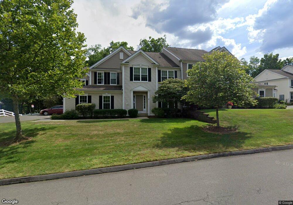
179 Sterling Dr Newington, CT 06111
Estimated Value: $495,000 - $557,000
3
Beds
3
Baths
2,176
Sq Ft
$239/Sq Ft
Est. Value
About This Home
This home is located at 179 Sterling Dr, Newington, CT 06111 and is currently estimated at $520,311, approximately $239 per square foot. 179 Sterling Dr is a home located in Hartford County with nearby schools including Anna Reynolds School, Martin Kellogg Middle School, and Newington High School.
Ownership History
Date
Name
Owned For
Owner Type
Purchase Details
Closed on
Apr 12, 2024
Sold by
Gabriel Kevin M
Bought by
King Samantha
Current Estimated Value
Home Financials for this Owner
Home Financials are based on the most recent Mortgage that was taken out on this home.
Original Mortgage
$360,000
Outstanding Balance
$354,353
Interest Rate
6.94%
Mortgage Type
Purchase Money Mortgage
Estimated Equity
$165,958
Purchase Details
Closed on
Dec 30, 2009
Sold by
Pulte Homes Of Ne Llc
Bought by
Gabriel Kevin K
Home Financials for this Owner
Home Financials are based on the most recent Mortgage that was taken out on this home.
Original Mortgage
$133,900
Interest Rate
4.85%
Mortgage Type
Purchase Money Mortgage
Create a Home Valuation Report for This Property
The Home Valuation Report is an in-depth analysis detailing your home's value as well as a comparison with similar homes in the area
Home Values in the Area
Average Home Value in this Area
Purchase History
| Date | Buyer | Sale Price | Title Company |
|---|---|---|---|
| King Samantha | $450,000 | None Available | |
| King Samantha | $450,000 | None Available | |
| Gabriel Kevin K | $298,900 | -- | |
| Gabriel Kevin K | $298,900 | -- |
Source: Public Records
Mortgage History
| Date | Status | Borrower | Loan Amount |
|---|---|---|---|
| Open | King Samantha | $360,000 | |
| Closed | King Samantha | $360,000 | |
| Previous Owner | Gabriel Kevin K | $133,900 |
Source: Public Records
Tax History Compared to Growth
Tax History
| Year | Tax Paid | Tax Assessment Tax Assessment Total Assessment is a certain percentage of the fair market value that is determined by local assessors to be the total taxable value of land and additions on the property. | Land | Improvement |
|---|---|---|---|---|
| 2025 | $8,315 | $207,990 | $0 | $207,990 |
| 2024 | $8,251 | $207,990 | $0 | $207,990 |
| 2023 | $7,868 | $205,110 | $0 | $205,110 |
| 2022 | $7,895 | $205,110 | $0 | $205,110 |
| 2021 | $7,960 | $205,110 | $0 | $205,110 |
| 2020 | $8,448 | $215,060 | $0 | $215,060 |
| 2019 | $8,484 | $215,060 | $0 | $215,060 |
| 2018 | $8,280 | $215,060 | $0 | $215,060 |
| 2017 | $7,869 | $215,060 | $0 | $215,060 |
| 2016 | $7,688 | $215,060 | $0 | $215,060 |
| 2014 | $7,044 | $202,590 | $0 | $202,590 |
Source: Public Records
Map
Nearby Homes
- 218 Sterling Dr Unit 218
- 236 Sterling Dr Unit 236
- 228 Reservoir Rd
- 16 Thornton Dr
- 31 Dacosta Dr
- 305 Hampton Ct
- 135 Village Square Dr Unit 1
- 20 Surrey Dr Unit B16 aka B4
- 54 Red Top Dr
- 140 Camp Ave
- 9 Old Farm Dr
- 7 Old Farm Dr
- 105 Gilbert Rd
- 25 Fowler Dr
- 84 Barbour Rd
- 35 Harding Ave
- 164 Brittany Farms Rd Unit A
- 47 Francis Dr
- 27 Harding Ave
- 198 Brittany Farms Rd Unit D
- 179 Sterling Dr Unit 2-34
- 179 Sterling Dr Unit 179
- 167 Sterling Dr
- 173 Sterling Dr
- 173 Sterling Dr Unit 1-34
- 191 Sterling Dr
- 191 Sterling Dr Unit 191
- 161 Sterling Dr
- 161 Sterling Dr Unit 161
- 185 Sterling Dr
- 149 Sterling Dr
- 164 Sterling Dr
- 155 Sterling Dr
- 155 Sterling Dr Unit 155
- 203 Sterling Dr
- 203 Sterling Dr
- 203 Sterling Dr Unit 35-2
- 152 Sterling Dr
- 152 Sterling Dr Unit 152
- 140 Sterling Dr