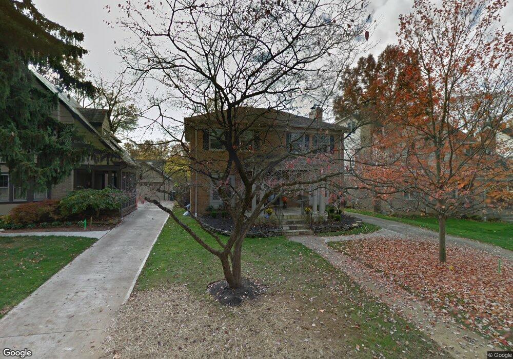
179 W Dunedin Rd Columbus, OH 43214
Clintonville NeighborhoodEstimated Value: $606,842 - $744,000
4
Beds
3
Baths
1,820
Sq Ft
$367/Sq Ft
Est. Value
About This Home
This home is located at 179 W Dunedin Rd, Columbus, OH 43214 and is currently estimated at $668,461, approximately $367 per square foot. 179 W Dunedin Rd is a home located in Franklin County with nearby schools including Clinton Elementary School, Dominion Middle School, and Whetstone High School.
Ownership History
Date
Name
Owned For
Owner Type
Purchase Details
Closed on
Apr 1, 2009
Sold by
Barron Mark T
Bought by
Mahler Matthew R and Mahler Kathleen L
Current Estimated Value
Home Financials for this Owner
Home Financials are based on the most recent Mortgage that was taken out on this home.
Original Mortgage
$323,100
Outstanding Balance
$203,262
Interest Rate
4.85%
Mortgage Type
Purchase Money Mortgage
Estimated Equity
$465,199
Purchase Details
Closed on
Jan 4, 2005
Sold by
Rodman Elizabeth J
Bought by
Barron Mark T
Purchase Details
Closed on
Jul 1, 1986
Create a Home Valuation Report for This Property
The Home Valuation Report is an in-depth analysis detailing your home's value as well as a comparison with similar homes in the area
Home Values in the Area
Average Home Value in this Area
Purchase History
| Date | Buyer | Sale Price | Title Company |
|---|---|---|---|
| Mahler Matthew R | $359,000 | Valmer Land | |
| Barron Mark T | $247,000 | Title First Agency Inc | |
| -- | $107,000 | -- |
Source: Public Records
Mortgage History
| Date | Status | Borrower | Loan Amount |
|---|---|---|---|
| Open | Mahler Matthew R | $323,100 |
Source: Public Records
Tax History Compared to Growth
Tax History
| Year | Tax Paid | Tax Assessment Tax Assessment Total Assessment is a certain percentage of the fair market value that is determined by local assessors to be the total taxable value of land and additions on the property. | Land | Improvement |
|---|---|---|---|---|
| 2024 | $7,332 | $163,380 | $54,880 | $108,500 |
| 2023 | $7,239 | $163,380 | $54,880 | $108,500 |
| 2022 | $9,303 | $179,380 | $24,120 | $155,260 |
| 2021 | $9,320 | $179,380 | $24,120 | $155,260 |
| 2020 | $9,332 | $179,380 | $24,120 | $155,260 |
| 2019 | $8,784 | $144,800 | $19,290 | $125,510 |
| 2018 | $7,979 | $144,800 | $19,290 | $125,510 |
| 2017 | $8,351 | $144,800 | $19,290 | $125,510 |
| 2016 | $7,924 | $119,600 | $34,270 | $85,330 |
| 2015 | $7,193 | $119,600 | $34,270 | $85,330 |
| 2014 | $7,211 | $119,600 | $34,270 | $85,330 |
| 2013 | $3,233 | $108,710 | $31,150 | $77,560 |
Source: Public Records
Map
Nearby Homes
- 88 W Kenworth Rd
- 36 Brighton Rd
- 174 W Como Ave
- 39 W Lakeview Ave
- 44 W Pacemont Rd
- 217 Arden Rd
- 15 W California Ave
- 110 W Tulane Rd
- 126 W Tulane Rd
- 118 W Tulane Rd
- 94 W Tulane Rd
- 128 Blenheim Rd
- 724 Drummond Ct
- 45 E California Ave
- 220 Ceramic Dr
- 10 E Weber Rd Unit 205
- 219 E Como Ave
- 3021 N High St
- 374 Acton Rd
- 667 Riverview Dr
- 171 W Dunedin Rd
- 185 W Dunedin Rd
- 165 W Dunedin Rd
- 191 W Dunedin Rd
- 186 Orchard Ln
- 192 Orchard Ln
- 192 W Orchard Ln
- 178 Orchard Ln
- 197 W Dunedin Rd
- 159 W Dunedin Rd
- 198 Orchard Ln
- 172 Orchard Ln
- 178 W Dunedin Rd
- 184 W Dunedin Rd
- 204 Orchard Ln
- 172 W Dunedin Rd
- 166 Orchard Ln
- 203 W Dunedin Rd
- 153 W Dunedin Rd
- 166 W Dunedin Rd