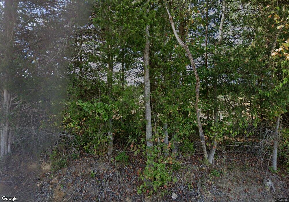
17950 Dodson Branch Hwy Cookeville, TN 38501
Estimated Value: $523,000 - $767,335
2
Beds
2
Baths
2,880
Sq Ft
$224/Sq Ft
Est. Value
About This Home
This home is located at 17950 Dodson Branch Hwy, Cookeville, TN 38501 and is currently estimated at $645,168, approximately $224 per square foot. 17950 Dodson Branch Hwy is a home located in Jackson County with nearby schools including Jackson County High School.
Ownership History
Date
Name
Owned For
Owner Type
Purchase Details
Closed on
Mar 30, 2015
Sold by
Barger Bonita B
Bought by
Barger David Rice and Barger Bonita B
Current Estimated Value
Purchase Details
Closed on
Nov 18, 1991
Bought by
Barger Dr David R and Barger Bonita B
Purchase Details
Closed on
Nov 23, 1990
Bought by
Barger Dr David R and Barger Bonita B
Purchase Details
Closed on
Feb 29, 1988
Bought by
Barger Dr David R and Barger Bonita B
Purchase Details
Closed on
Jul 31, 1987
Bought by
Citizens Bank Cookeville
Purchase Details
Closed on
Jan 1, 1981
Create a Home Valuation Report for This Property
The Home Valuation Report is an in-depth analysis detailing your home's value as well as a comparison with similar homes in the area
Home Values in the Area
Average Home Value in this Area
Purchase History
| Date | Buyer | Sale Price | Title Company |
|---|---|---|---|
| Barger David Rice | -- | -- | |
| Barger Dr David R | $4,000 | -- | |
| Barger Dr David R | $18,000 | -- | |
| Barger Dr David R | $165,000 | -- | |
| Citizens Bank Cookeville | -- | -- | |
| -- | $75,000 | -- |
Source: Public Records
Tax History Compared to Growth
Tax History
| Year | Tax Paid | Tax Assessment Tax Assessment Total Assessment is a certain percentage of the fair market value that is determined by local assessors to be the total taxable value of land and additions on the property. | Land | Improvement |
|---|---|---|---|---|
| 2024 | $2,365 | $92,750 | $22,475 | $70,275 |
| 2023 | $2,365 | $92,750 | $22,475 | $70,275 |
| 2022 | $2,086 | $92,750 | $22,475 | $70,275 |
| 2021 | $2,086 | $92,750 | $22,475 | $70,275 |
| 2020 | $1,977 | $92,750 | $22,475 | $70,275 |
| 2019 | $1,977 | $70,875 | $17,450 | $53,425 |
| 2018 | $1,977 | $70,875 | $17,450 | $53,425 |
| 2017 | $1,977 | $70,875 | $17,450 | $53,425 |
| 2016 | $1,979 | $70,875 | $17,450 | $53,425 |
| 2015 | $2,020 | $70,875 | $17,450 | $53,425 |
| 2014 | $1,949 | $68,400 | $13,825 | $54,575 |
Source: Public Records
Map
Nearby Homes
- 1848 Timber Trail
- 1836 Timber Trail
- 1872 Timber Trail
- 1896 Timber Trail
- 1888 Timber Trail
- 235 Christie Cir
- 184 Christie Cir
- 241 Christie Cir
- 0 Christie Cir
- 0 Christie Cir Unit RTC2491601
- 0 Christie Cir Unit RTC1988517
- 0 Christie Cir Unit RTC1988465
- 0 Christie Cir Unit RTC1988455
- 0 Christie Cir Unit RTC1988461
- 0 Christie Cir Unit RTC1874383
- 0 Christie Cir Unit RTC1874382
- 0 Christie Cir Unit RTC1874379
- 0 Christie Cir Unit RTC1874377
- 0 Christie Cir Unit RTC1874380
- 0 Christie Cir Unit 210806
