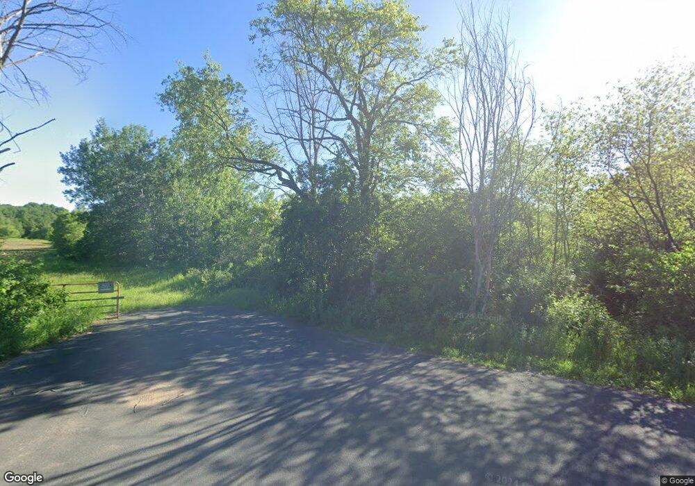
1798 10th Ave Star Prairie, WI 54026
Estimated Value: $296,000 - $1,319,104
--
Bed
--
Bath
--
Sq Ft
43.17
Acres
About This Home
This home is located at 1798 10th Ave, Star Prairie, WI 54026 and is currently estimated at $807,552. 1798 10th Ave is a home with nearby schools including Lien Elementary School, Amery Intermediate School, and Amery Middle School.
Ownership History
Date
Name
Owned For
Owner Type
Purchase Details
Closed on
Dec 21, 2021
Sold by
Estate Of Stephen P Mullins
Bought by
Mullins Debra J
Current Estimated Value
Purchase Details
Closed on
Jan 9, 2017
Sold by
Dejak Kathryn M and Dejak Kathryn M Doran
Bought by
Mullins Stephen P and Mullins Debra J
Purchase Details
Closed on
Oct 5, 2016
Sold by
Dejak Kathryn M and Dejak Kathryn M Dorau
Bought by
Mullins Stephen P and Mullins Debra J
Home Financials for this Owner
Home Financials are based on the most recent Mortgage that was taken out on this home.
Original Mortgage
$165,229
Interest Rate
5%
Mortgage Type
Land Contract Argmt. Of Sale
Create a Home Valuation Report for This Property
The Home Valuation Report is an in-depth analysis detailing your home's value as well as a comparison with similar homes in the area
Home Values in the Area
Average Home Value in this Area
Purchase History
| Date | Buyer | Sale Price | Title Company |
|---|---|---|---|
| Mullins Debra J | $664,800 | Joseph P Earley | |
| Mullins Stephen P | -- | None Available | |
| Mullins Stephen P | $165,229 | None Available |
Source: Public Records
Mortgage History
| Date | Status | Borrower | Loan Amount |
|---|---|---|---|
| Previous Owner | Mullins Stephen P | $165,229 |
Source: Public Records
Tax History Compared to Growth
Tax History
| Year | Tax Paid | Tax Assessment Tax Assessment Total Assessment is a certain percentage of the fair market value that is determined by local assessors to be the total taxable value of land and additions on the property. | Land | Improvement |
|---|---|---|---|---|
| 2024 | $11,606 | $664,800 | $137,000 | $527,800 |
| 2023 | $10,628 | $664,800 | $137,000 | $527,800 |
| 2022 | $10,353 | $664,800 | $137,000 | $527,800 |
| 2021 | $9,494 | $664,800 | $137,000 | $527,800 |
| 2020 | $8,901 | $664,800 | $137,000 | $527,800 |
| 2019 | $9,737 | $664,800 | $137,000 | $527,800 |
| 2018 | $2,509 | $122,000 | $122,000 | $0 |
| 2017 | $1,927 | $100,600 | $100,600 | $0 |
| 2016 | $2,001 | $100,600 | $100,600 | $0 |
| 2015 | $1,908 | $100,600 | $100,600 | $0 |
| 2013 | $1,922 | $100,600 | $100,600 | $0 |
| 2012 | $1,841 | $100,600 | $100,600 | $0 |
Source: Public Records
Map
Nearby Homes
- 132 Hill Ave
- 342 Paulsen Lake Ct
- 102 206th St
- 223 202nd St
- 1290 220th Ave
- 2207 127th St
- XXXX 363rd St
- TBD 155th St
- 2161 132nd St
- 2167 County Road C
- 1320 216th Ave
- 2382 108th St
- 1719 County Road H
- 2106 135th St
- 1152 County Road C
- 1843 60th Ave
- TBD State Road 65
- XXX 100th St
- Lot 6 220th Ave
- 1269 202nd Ave
- 1807 10th Ave
- 18xx 10th Ave
- 1815 10th Ave
- 1809 10th Ave
- 1817 10th Ave
- 65 Highway 65
- Xx Hwy 65
- X Hwy 65
- 1827 10th Ave
- Lot 2 + 3 County Line Ave
- 1823 6th Ave
- xxx State Road 65
- 44 Wisconsin 65
- 42 Highway 65
- xxx Polk St Croix Cty Rd Hwy 65
- 1841 10th Ave
- 1808 15th Ave
- XXX 185th St
- 122 185th St
- 31 Highway 65