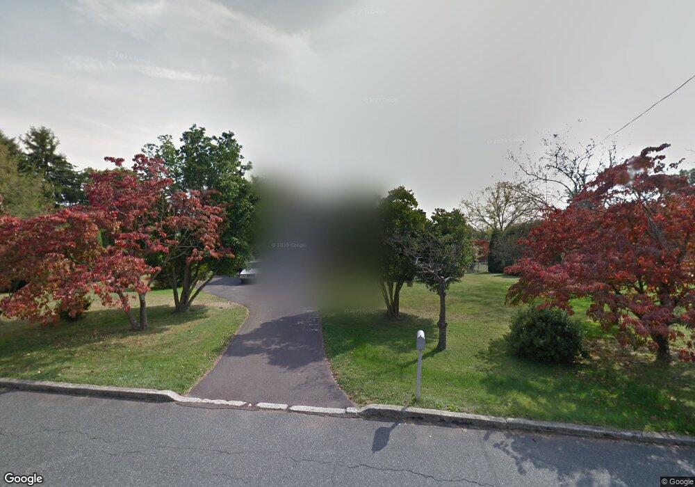
18 Ashton Rd Collegeville, PA 19426
Estimated Value: $286,000 - $492,000
3
Beds
3
Baths
1,500
Sq Ft
$283/Sq Ft
Est. Value
About This Home
This home is located at 18 Ashton Rd, Collegeville, PA 19426 and is currently estimated at $424,886, approximately $283 per square foot. 18 Ashton Rd is a home located in Montgomery County with nearby schools including Arrowhead Elementary School, Skyview Upper Elementary School, and Arcola Intermediate School.
Ownership History
Date
Name
Owned For
Owner Type
Purchase Details
Closed on
May 22, 2009
Sold by
Nabozny Hert and Nabozny Matthew F
Bought by
Smith Justin B
Current Estimated Value
Home Financials for this Owner
Home Financials are based on the most recent Mortgage that was taken out on this home.
Original Mortgage
$265,000
Outstanding Balance
$167,253
Interest Rate
4.83%
Mortgage Type
VA
Estimated Equity
$257,633
Create a Home Valuation Report for This Property
The Home Valuation Report is an in-depth analysis detailing your home's value as well as a comparison with similar homes in the area
Home Values in the Area
Average Home Value in this Area
Purchase History
| Date | Buyer | Sale Price | Title Company |
|---|---|---|---|
| Smith Justin B | $265,000 | None Available |
Source: Public Records
Mortgage History
| Date | Status | Borrower | Loan Amount |
|---|---|---|---|
| Open | Smith Justin B | $265,000 |
Source: Public Records
Tax History Compared to Growth
Tax History
| Year | Tax Paid | Tax Assessment Tax Assessment Total Assessment is a certain percentage of the fair market value that is determined by local assessors to be the total taxable value of land and additions on the property. | Land | Improvement |
|---|---|---|---|---|
| 2025 | $5,202 | $127,530 | $46,360 | $81,170 |
| 2024 | $5,202 | $127,530 | $46,360 | $81,170 |
| 2023 | $5,004 | $127,530 | $46,360 | $81,170 |
| 2022 | $4,867 | $127,530 | $46,360 | $81,170 |
| 2021 | $4,742 | $127,530 | $46,360 | $81,170 |
| 2020 | $4,631 | $127,530 | $46,360 | $81,170 |
| 2019 | $4,588 | $127,530 | $46,360 | $81,170 |
| 2018 | $4,588 | $127,530 | $46,360 | $81,170 |
| 2017 | $4,381 | $127,530 | $46,360 | $81,170 |
| 2016 | $4,331 | $127,530 | $46,360 | $81,170 |
| 2015 | $4,163 | $127,530 | $46,360 | $81,170 |
| 2014 | $4,163 | $127,530 | $46,360 | $81,170 |
Source: Public Records
Map
Nearby Homes
- 4034 Township Line Rd
- 3003 Greenes Way Cir
- 472 Evansburg Rd
- 315 Chestnut St
- 17 Clamer Ave
- 3850 Lilly Ln
- 15 Fox Rd
- 12 Fox Rd
- 4161 Creek Rd
- 741 Primrose Path
- Laney Plan at Charterfield Landing
- Rollins Plan at Charterfield Landing
- Cloverfield Plan at Charterfield Landing
- Raintree Plan at Charterfield Landing
- 49 Level Rd
- 295 Freeland Dr
- 4026 MacCormack Way
- 753 Wisteria Way
- 4029 MacCormack Way
- 3855 Somerset Dr
- 12 Ashton Rd
- 24 Ashton Rd
- 28 Ashton Rd
- 31 Ashton Rd
- 10 Ashton Rd
- 17 Ashton Rd
- 3941 Crosskeys Rd
- 34 Ashton Rd
- 37 Ashton Rd
- 3923 Beth Dr
- 11 Ashton Rd
- 23 Ashton Rd
- 9 Ashton Rd
- 27 Ashton Rd
- 3927 Crosskeys Rd
- 3919 Beth Dr
- 3950 Crosskeys Rd
- 3956 Crosskeys Rd
- 0 Kaitlin Dr Unit 6734850
- 0 Kaitlin Dr Unit 1004386929