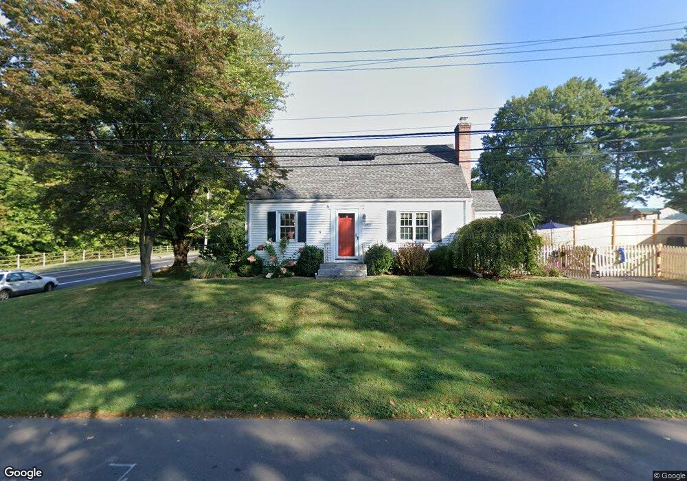
18 Carol Rd West Hartford, CT 06110
Estimated Value: $319,000 - $381,000
3
Beds
1
Bath
1,116
Sq Ft
$314/Sq Ft
Est. Value
About This Home
This home is located at 18 Carol Rd, West Hartford, CT 06110 and is currently estimated at $350,355, approximately $313 per square foot. 18 Carol Rd is a home located in Hartford County with nearby schools including Charter Oak International Academy, Sedgwick Middle School, and Conard High School.
Ownership History
Date
Name
Owned For
Owner Type
Purchase Details
Closed on
Apr 27, 2009
Sold by
Reed Mark D and Reed Kristi H
Bought by
Karlowicz Andrew C
Current Estimated Value
Home Financials for this Owner
Home Financials are based on the most recent Mortgage that was taken out on this home.
Original Mortgage
$189,450
Interest Rate
4.93%
Purchase Details
Closed on
Sep 16, 2004
Sold by
Scarlata Carmen and Bermudez Wanda
Bought by
Reed Mark D and Reed Kristi H
Home Financials for this Owner
Home Financials are based on the most recent Mortgage that was taken out on this home.
Original Mortgage
$148,500
Interest Rate
4.75%
Purchase Details
Closed on
Jun 25, 2001
Sold by
Osborne Claudia Est
Bought by
Scarlata Carmen and Bermudez Wanda
Home Financials for this Owner
Home Financials are based on the most recent Mortgage that was taken out on this home.
Original Mortgage
$99,000
Interest Rate
10.08%
Create a Home Valuation Report for This Property
The Home Valuation Report is an in-depth analysis detailing your home's value as well as a comparison with similar homes in the area
Home Values in the Area
Average Home Value in this Area
Purchase History
| Date | Buyer | Sale Price | Title Company |
|---|---|---|---|
| Karlowicz Andrew C | $193,000 | -- | |
| Reed Mark D | $165,000 | -- | |
| Scarlata Carmen | $110,000 | -- |
Source: Public Records
Mortgage History
| Date | Status | Borrower | Loan Amount |
|---|---|---|---|
| Open | Scarlata Carmen | $188,500 | |
| Closed | Scarlata Carmen | $189,450 | |
| Previous Owner | Scarlata Carmen | $148,500 | |
| Previous Owner | Scarlata Carmen | $99,000 |
Source: Public Records
Tax History Compared to Growth
Tax History
| Year | Tax Paid | Tax Assessment Tax Assessment Total Assessment is a certain percentage of the fair market value that is determined by local assessors to be the total taxable value of land and additions on the property. | Land | Improvement |
|---|---|---|---|---|
| 2025 | $7,159 | $159,880 | $59,150 | $100,730 |
| 2024 | $6,771 | $159,880 | $59,150 | $100,730 |
| 2023 | $6,542 | $159,880 | $59,150 | $100,730 |
| 2022 | $6,504 | $159,880 | $59,150 | $100,730 |
| 2021 | $5,490 | $129,430 | $46,130 | $83,300 |
| 2020 | $5,085 | $121,660 | $43,120 | $78,540 |
| 2019 | $5,085 | $121,660 | $43,120 | $78,540 |
| 2018 | $5,163 | $125,930 | $43,120 | $82,810 |
| 2017 | $5,091 | $124,040 | $43,120 | $80,920 |
| 2016 | $4,785 | $121,100 | $47,600 | $73,500 |
| 2015 | $4,639 | $121,100 | $47,600 | $73,500 |
| 2014 | $4,526 | $121,100 | $47,600 | $73,500 |
Source: Public Records
Map
Nearby Homes
- 741 Quaker Ln S
- 17 Parkview Rd
- 204 Trout Brook Dr
- 394 Trout Brook Dr
- 90 Park Place Cir Unit 90
- 49 Park Place Cir Unit 49
- 39 Cortland St
- 1145 New Britain Ave
- 101 Englewood Ave
- 49 Somerset St
- 41 Page Ave
- 422 S Main St
- 61 Colonial St
- 69 Saint Augustine St
- 18 Federal St
- 61 Woodmere Rd
- 121 Cambridge St
- 26 Saint Augustine St
- 107 Westgate St
- 72 Saint Charles St