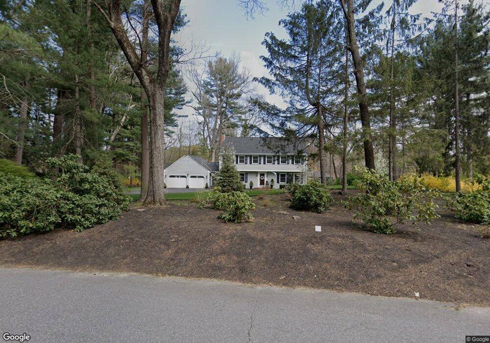
18 Lafayette Dr Sudbury, MA 01776
Estimated Value: $1,018,000 - $1,492,000
4
Beds
3
Baths
3,028
Sq Ft
$421/Sq Ft
Est. Value
About This Home
This home is located at 18 Lafayette Dr, Sudbury, MA 01776 and is currently estimated at $1,273,788, approximately $420 per square foot. 18 Lafayette Dr is a home located in Middlesex County with nearby schools including Israel Loring Elementary School, Ephraim Curtis Middle School, and Lincoln-Sudbury Regional High School.
Ownership History
Date
Name
Owned For
Owner Type
Purchase Details
Closed on
Oct 16, 1987
Sold by
Clawson Tony C
Bought by
Dubois Kermit A
Current Estimated Value
Create a Home Valuation Report for This Property
The Home Valuation Report is an in-depth analysis detailing your home's value as well as a comparison with similar homes in the area
Home Values in the Area
Average Home Value in this Area
Purchase History
| Date | Buyer | Sale Price | Title Company |
|---|---|---|---|
| Dubois Kermit A | $435,000 | -- |
Source: Public Records
Mortgage History
| Date | Status | Borrower | Loan Amount |
|---|---|---|---|
| Open | Dubois Kermit A | $330,000 | |
| Closed | Dubois Kermit A | $335,000 | |
| Closed | Dubois Kermit A | $75,000 |
Source: Public Records
Tax History Compared to Growth
Tax History
| Year | Tax Paid | Tax Assessment Tax Assessment Total Assessment is a certain percentage of the fair market value that is determined by local assessors to be the total taxable value of land and additions on the property. | Land | Improvement |
|---|---|---|---|---|
| 2025 | $16,406 | $1,120,600 | $461,400 | $659,200 |
| 2024 | $15,795 | $1,081,100 | $447,800 | $633,300 |
| 2023 | $14,890 | $944,200 | $414,600 | $529,600 |
| 2022 | $14,584 | $808,000 | $380,200 | $427,800 |
| 2021 | $13,904 | $738,400 | $380,200 | $358,200 |
| 2020 | $13,623 | $738,400 | $380,200 | $358,200 |
| 2019 | $13,225 | $738,400 | $380,200 | $358,200 |
| 2018 | $13,032 | $726,800 | $400,200 | $326,600 |
| 2017 | $12,752 | $718,800 | $395,400 | $323,400 |
| 2016 | $11,942 | $670,900 | $380,200 | $290,700 |
| 2015 | $11,444 | $650,200 | $365,400 | $284,800 |
| 2014 | $11,422 | $633,500 | $354,600 | $278,900 |
Source: Public Records
Map
Nearby Homes
- 0 Boston Post Rd
- 143 Peakham Rd
- 12 Hickory Rd
- 0 Robbins Rd
- 30 Rolling Ln
- 7 Adams Rd
- 123 Dutton Rd
- 7 Saddle Ridge Rd
- 24 Woodland Rd
- 89 Bridle Path
- 6 Mountain View Dr
- 30 Nobscot Rd Unit 14
- 21 Summer St
- 1011 Boston Post Rd
- 32 Eaton Rd W
- 50 Juniper Ln
- 19 Nob Hill Dr
- 91 Eaton Rd W
- 270 Old Lancaster Rd
- 620 Edmands Rd
- 26 Lafayette Dr
- 8 Lafayette Dr
- 55 Washington Dr
- 17 Lafayette Dr
- 65 Washington Dr
- 770 Boston Post Rd
- 47 Washington Dr
- 25 Lafayette Dr
- 15 Revere Rd
- 11 Lafayette Dr
- 7 Revere Rd
- 56 Washington Dr
- 740 Boston Post Rd
- 66 Washington Dr
- 39 Washington Dr
- 33 Lafayette Dr
- 7 Lafayette Dr
- 7 Lafayette Dr Unit 1
- 46 Washington Dr
- 20 Revere Rd