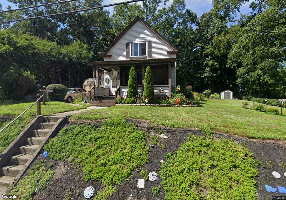
18 Prince St Oxford, MA 01540
Estimated Value: $404,000 - $456,000
3
Beds
2
Baths
1,613
Sq Ft
$264/Sq Ft
Est. Value
About This Home
This home is located at 18 Prince St, Oxford, MA 01540 and is currently estimated at $425,493, approximately $263 per square foot. 18 Prince St is a home located in Worcester County with nearby schools including Oxford High School, Alfred M Chaffee, and Clara Barton Elementary School.
Ownership History
Date
Name
Owned For
Owner Type
Purchase Details
Closed on
Jun 10, 2020
Sold by
Donovan Barbara
Bought by
Bosowski Michael and Bosowski Julie
Current Estimated Value
Home Financials for this Owner
Home Financials are based on the most recent Mortgage that was taken out on this home.
Original Mortgage
$107,000
Outstanding Balance
$94,847
Interest Rate
3.2%
Mortgage Type
New Conventional
Estimated Equity
$330,646
Purchase Details
Closed on
Oct 28, 2019
Sold by
Donovan
Bought by
Donovan Barbara
Create a Home Valuation Report for This Property
The Home Valuation Report is an in-depth analysis detailing your home's value as well as a comparison with similar homes in the area
Home Values in the Area
Average Home Value in this Area
Purchase History
| Date | Buyer | Sale Price | Title Company |
|---|---|---|---|
| Bosowski Michael | $215,000 | None Available | |
| Donovan Barbara | -- | -- |
Source: Public Records
Mortgage History
| Date | Status | Borrower | Loan Amount |
|---|---|---|---|
| Open | Bosowski Michael | $107,000 |
Source: Public Records
Tax History Compared to Growth
Tax History
| Year | Tax Paid | Tax Assessment Tax Assessment Total Assessment is a certain percentage of the fair market value that is determined by local assessors to be the total taxable value of land and additions on the property. | Land | Improvement |
|---|---|---|---|---|
| 2025 | $43 | $336,800 | $88,700 | $248,100 |
| 2024 | $4,159 | $308,500 | $82,400 | $226,100 |
| 2023 | $4,245 | $311,200 | $73,500 | $237,700 |
| 2022 | $3,975 | $246,000 | $65,200 | $180,800 |
| 2021 | $3,713 | $224,600 | $61,900 | $162,700 |
| 2020 | $3,434 | $206,100 | $61,900 | $144,200 |
| 2019 | $3,001 | $176,200 | $61,800 | $114,400 |
| 2018 | $3,043 | $176,200 | $61,800 | $114,400 |
| 2017 | $3,058 | $181,500 | $61,800 | $119,700 |
| 2016 | $3,073 | $181,500 | $61,800 | $119,700 |
| 2015 | $2,866 | $181,500 | $61,800 | $119,700 |
| 2014 | $2,829 | $188,600 | $61,800 | $126,800 |
Source: Public Records
Map
Nearby Homes
- 7 Millbury Blvd
- 5 Carlton Ct
- 397 Main St
- 12 New St
- L0T 11 History Dr
- L0T 3 History Dr
- L0T 12 History Dr
- 18 Sutton Ave
- 6 Rawson Ave
- 11 Sutton Ave
- 9 Howarth Rd
- 1 Howarth Rd
- 15 Lind St
- 13 Plantation Rd Unit 13
- 30 Plantation Rd
- 0 Dana Rd
- 4 Toria Heights Rd
- 124 Charlton St Unit F
- 0 Federal Hill Rd Unit 73422286
- 11 Lovett Rd