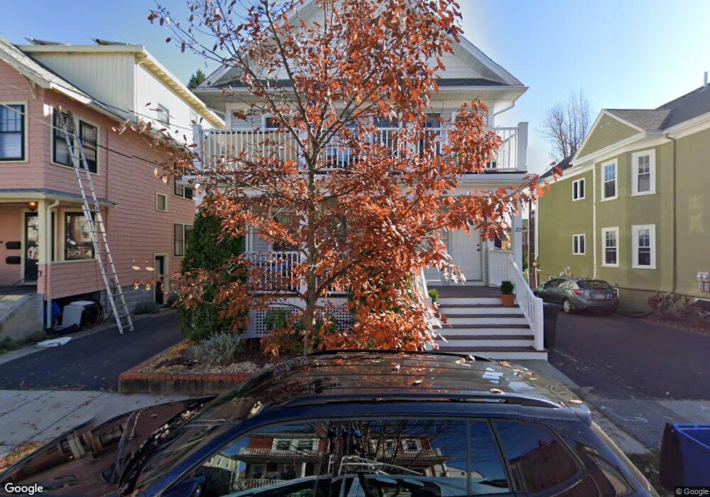
18 Thorndike St Unit 20 Arlington, MA 02474
East Arlington NeighborhoodEstimated Value: $1,365,000 - $1,739,837
4
Beds
2
Baths
3,236
Sq Ft
$478/Sq Ft
Est. Value
About This Home
This home is located at 18 Thorndike St Unit 20, Arlington, MA 02474 and is currently estimated at $1,545,459, approximately $477 per square foot. 18 Thorndike St Unit 20 is a home located in Middlesex County with nearby schools including Hardy Elementary School, Ottoson Middle School, and Arlington High School.
Ownership History
Date
Name
Owned For
Owner Type
Purchase Details
Closed on
Apr 17, 1990
Sold by
Edgerly James B
Bought by
Haroutunian Mark R
Current Estimated Value
Home Financials for this Owner
Home Financials are based on the most recent Mortgage that was taken out on this home.
Original Mortgage
$160,000
Interest Rate
10.13%
Mortgage Type
Purchase Money Mortgage
Create a Home Valuation Report for This Property
The Home Valuation Report is an in-depth analysis detailing your home's value as well as a comparison with similar homes in the area
Home Values in the Area
Average Home Value in this Area
Purchase History
| Date | Buyer | Sale Price | Title Company |
|---|---|---|---|
| Haroutunian Mark R | $234,000 | -- |
Source: Public Records
Mortgage History
| Date | Status | Borrower | Loan Amount |
|---|---|---|---|
| Open | Haroutunian Mark R | $50,000 | |
| Closed | Haroutunian Mark R | $35,000 | |
| Closed | Haroutunian Mark R | $160,000 |
Source: Public Records
Tax History Compared to Growth
Tax History
| Year | Tax Paid | Tax Assessment Tax Assessment Total Assessment is a certain percentage of the fair market value that is determined by local assessors to be the total taxable value of land and additions on the property. | Land | Improvement |
|---|---|---|---|---|
| 2025 | $15,729 | $1,460,400 | $561,600 | $898,800 |
| 2024 | $14,477 | $1,367,000 | $534,600 | $832,400 |
| 2023 | $15,045 | $1,342,100 | $448,200 | $893,900 |
| 2022 | $15,050 | $1,317,900 | $432,000 | $885,900 |
| 2021 | $14,490 | $1,277,800 | $432,000 | $845,800 |
| 2020 | $14,132 | $1,277,800 | $432,000 | $845,800 |
| 2019 | $12,378 | $1,099,300 | $459,000 | $640,300 |
| 2018 | $11,828 | $975,100 | $334,800 | $640,300 |
| 2017 | $11,133 | $886,400 | $291,600 | $594,800 |
| 2016 | $10,793 | $843,200 | $248,400 | $594,800 |
| 2015 | $10,471 | $772,800 | $243,000 | $529,800 |
Source: Public Records
Map
Nearby Homes
- 15 Kassul Park
- 35 Windsor St Unit 1
- 7 Newman St
- 128 Thorndike St Unit 2
- 62-64 Waldo Rd
- 23 Brookford St
- 23 Brookford St Unit 2
- 23 Brookford St Unit 1
- 137-139 Thorndike St Unit 2
- 38 Brookford St Unit 2
- 19 Cottage Park Ave
- 86 Chandler St Unit 86
- 57 Garrison Ave
- 215 Massachusetts Ave Unit 19 (34)
- 131 Harvey St
- 65 Marathon St Unit L
- 112 Jackson St
- 112 Jackson St Unit 1
- 97 Elmwood St Unit 313
- 97 Elmwood St Unit 310
- 14-16 Thorndike St
- 14 Thorndike St Unit 16
- 24 Thorndike St
- 22 Thorndike St Unit 24
- 12 Thorndike St
- 12 Thorndike St Unit 2
- 10 Thorndike St
- 26 Thorndike St Unit 28
- 17 Fairmont St Unit 17A
- 15 Fairmont St Unit 2
- 15 Fairmont St Unit 3
- 15 Fairmont St
- 13 Fairmont St Unit 15
- 13 Fairmont St Unit 2
- 13-15 Fairmont St Unit 3
- 13-15 Fairmont St Unit 1
- 13 Fairmont St
- 13 Fairmont St Unit 1
- 13-15 Fairmont St
- 19 Fairmont St Unit 19A