18 Windswept Dr Woodstock, CT 06281
Estimated Value: $414,000 - $436,294
3
Beds
3
Baths
2,388
Sq Ft
$178/Sq Ft
Est. Value
About This Home
This home is located at 18 Windswept Dr, Woodstock, CT 06281 and is currently estimated at $425,324, approximately $178 per square foot. 18 Windswept Dr is a home located in Windham County with nearby schools including Woodstock Elementary School and Woodstock Middle School.
Ownership History
Date
Name
Owned For
Owner Type
Purchase Details
Closed on
Mar 1, 2024
Sold by
Carlson Kathleen C and Carlson John M
Bought by
Lynch Ginger C and Carlson John M
Current Estimated Value
Purchase Details
Closed on
Dec 14, 1998
Sold by
North Woodstock Dev
Bought by
Carlson John M and Carlson Kathleen C
Create a Home Valuation Report for This Property
The Home Valuation Report is an in-depth analysis detailing your home's value as well as a comparison with similar homes in the area
Home Values in the Area
Average Home Value in this Area
Purchase History
| Date | Buyer | Sale Price | Title Company |
|---|---|---|---|
| Lynch Ginger C | -- | None Available | |
| Lynch Ginger C | -- | None Available | |
| Carlson John M | $127,400 | -- | |
| Carlson John M | $127,400 | -- |
Source: Public Records
Mortgage History
| Date | Status | Borrower | Loan Amount |
|---|---|---|---|
| Previous Owner | Carlson John M | $30,000 |
Source: Public Records
Tax History Compared to Growth
Tax History
| Year | Tax Paid | Tax Assessment Tax Assessment Total Assessment is a certain percentage of the fair market value that is determined by local assessors to be the total taxable value of land and additions on the property. | Land | Improvement |
|---|---|---|---|---|
| 2025 | $5,397 | $221,100 | $42,500 | $178,600 |
| 2024 | $4,940 | $214,400 | $42,500 | $171,900 |
| 2023 | $4,805 | $214,400 | $42,500 | $171,900 |
| 2022 | $4,470 | $214,400 | $42,500 | $171,900 |
| 2021 | $4,526 | $177,500 | $42,500 | $135,000 |
| 2020 | $3,626 | $148,000 | $42,500 | $105,500 |
| 2019 | $3,626 | $148,000 | $42,500 | $105,500 |
| 2018 | $3,626 | $148,000 | $42,500 | $105,500 |
| 2017 | $3,596 | $148,000 | $42,500 | $105,500 |
| 2016 | $3,195 | $132,900 | $49,500 | $83,400 |
| 2015 | $3,105 | $132,900 | $49,500 | $83,400 |
| 2014 | $3,070 | $132,900 | $49,500 | $83,400 |
Source: Public Records
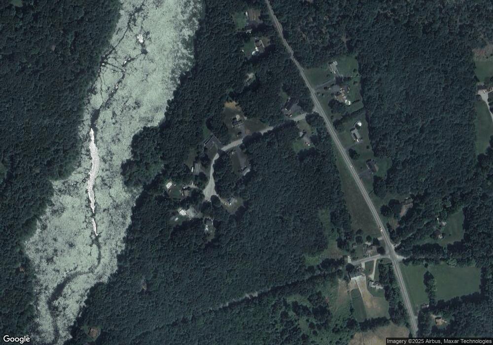
Map
Nearby Homes
- 381 Bungay Hill Rd
- 0 Rr 197 Rd
- 1820 Route 197
- 29 Crooked Trail Extension
- 10 Laurel Hill Dr
- 19 Hiawatha Heights
- 56 Laurel Hill Dr
- 70 Laurel Hill Dr
- 23 Little Bungee Hill Rd
- 0 Hemlock Dr
- 60 Indian Spring Rd
- 80 Bungay Hill Rd
- 30 Lyon Rd
- 278 Child Rd
- 0 Aplin Hill Ln
- 4 Perrin Rd
- 145 Perrin Rd
- 00 Route 171 Unit Lot 1
- 8 Nahaco Hill Ln
- 101 Center Rd
- 30 Windswept Dr
- 35 Windswept Dr
- 2 Windswept Dr
- 31 Windswept Dr
- 23 Windswept Dr
- 3 Windswept Dr
- 27 Windswept Dr
- 890 Route 198
- 33 Windswept Dr
- 869 Route 198
- 7 Route 198
- 5 Route 198
- 1991 Connecticut 198
- Lp Connecticut 198
- 2A Connecticut 198
- 2A Rout Connecticut 198
- 5709/02 Connecticut 198
- 0 Connecticut 198 Unit 1 170418292
- 000 Connecticut 198
- 1-14 Connecticut 198