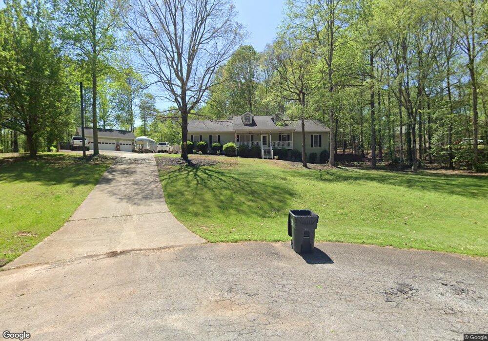
180 Bennington Dr Stockbridge, GA 30281
Estimated Value: $265,271 - $337,000
3
Beds
2
Baths
1,772
Sq Ft
$175/Sq Ft
Est. Value
About This Home
This home is located at 180 Bennington Dr, Stockbridge, GA 30281 and is currently estimated at $310,568, approximately $175 per square foot. 180 Bennington Dr is a home located in Henry County with nearby schools including Woodland Elementary School, Woodland Middle School, and Woodland High School.
Ownership History
Date
Name
Owned For
Owner Type
Purchase Details
Closed on
Jun 16, 2003
Sold by
Blotske Chad A
Bought by
Blotske Chad A and Blotske Jeanine
Current Estimated Value
Home Financials for this Owner
Home Financials are based on the most recent Mortgage that was taken out on this home.
Original Mortgage
$124,500
Outstanding Balance
$48,974
Interest Rate
4.38%
Mortgage Type
New Conventional
Estimated Equity
$261,594
Create a Home Valuation Report for This Property
The Home Valuation Report is an in-depth analysis detailing your home's value as well as a comparison with similar homes in the area
Home Values in the Area
Average Home Value in this Area
Purchase History
| Date | Buyer | Sale Price | Title Company |
|---|---|---|---|
| Blotske Chad A | -- | -- |
Source: Public Records
Mortgage History
| Date | Status | Borrower | Loan Amount |
|---|---|---|---|
| Open | Blotske Chad A | $124,500 |
Source: Public Records
Tax History Compared to Growth
Tax History
| Year | Tax Paid | Tax Assessment Tax Assessment Total Assessment is a certain percentage of the fair market value that is determined by local assessors to be the total taxable value of land and additions on the property. | Land | Improvement |
|---|---|---|---|---|
| 2025 | $3,802 | $137,716 | $14,000 | $123,716 |
| 2024 | $3,802 | $126,720 | $14,000 | $112,720 |
| 2023 | $3,032 | $120,080 | $10,800 | $109,280 |
| 2022 | $2,871 | $91,880 | $10,800 | $81,080 |
| 2021 | $2,603 | $80,480 | $10,800 | $69,680 |
| 2020 | $2,496 | $75,920 | $10,800 | $65,120 |
| 2019 | $2,368 | $70,480 | $10,800 | $59,680 |
| 2018 | $2,265 | $66,120 | $10,000 | $56,120 |
| 2016 | $2,028 | $58,880 | $8,000 | $50,880 |
| 2015 | $1,552 | $45,520 | $7,200 | $38,320 |
| 2014 | $1,564 | $45,440 | $6,000 | $39,440 |
Source: Public Records
Map
Nearby Homes
- 1009 Moseley Rd
- 1001 Moseley Rd
- 1493 Harlequin Way
- 245 Moseley Crossing Dr Unit 3
- 1548 Harlequin Way
- 825 Bufflehead Ct
- 1111 Hemphill Rd
- 100 Kim Trail
- 400 Moseley Rd
- 405 Tatum Terrace
- 663 Moseley Dr
- 117 Ancient Oak Ln
- 116 Way Point Dr
- 651 Whitman Ln
- 644 Whitman Ln
- 647 Whitman Ln
- 640 Whitman Ln
- 643 Whitman Ln
- 1720 Highway 138 E
- 160 Bennington Dr
- 190 Bennington Dr
- 45 Bennington Ct Unit 3
- 55 Bennington Ct Unit 3
- 55 Bennington Ct Unit 21
- 35 Bennington Ct
- 175 Bennington Dr
- 150 Bennington Dr
- 195 Bennington Dr
- 165 Bennington Dr Unit 1
- 65 Bennington Ct
- 25 Bennington Ct
- 0 Bennington Ct Unit 8384361
- 0 Bennington Ct Unit 8749999
- 155 Bennington Dr
- 75 Bennington Ct Unit 3
- 140 Bennington Dr
- 50 Bennington Ct
- 60 Bennington Ct
- 145 Bennington Dr