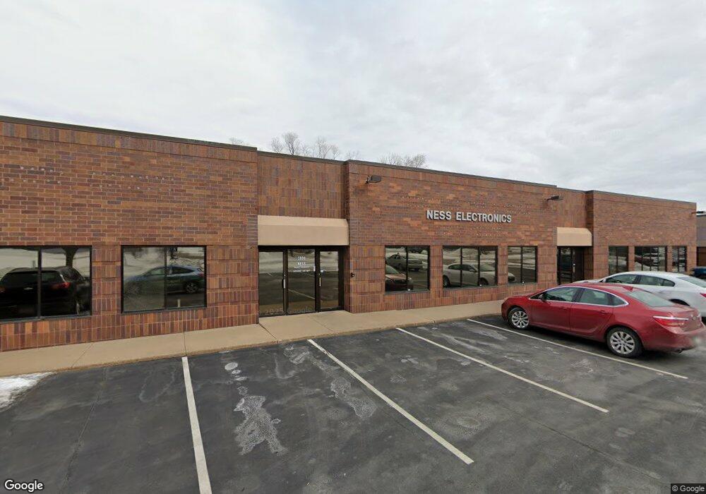
1800 E 121st St Burnsville, MN 55337
Estimated Value: $1,831,728
--
Bed
4
Baths
12,176
Sq Ft
$150/Sq Ft
Est. Value
About This Home
This home is located at 1800 E 121st St, Burnsville, MN 55337 and is currently estimated at $1,831,728, approximately $150 per square foot. 1800 E 121st St is a home located in Dakota County with nearby schools including William Byrne Elementary School, Burnsville High School, and Gateway STEM Academy.
Ownership History
Date
Name
Owned For
Owner Type
Purchase Details
Closed on
Mar 14, 2014
Bought by
Ness Michael Michael
Current Estimated Value
Purchase Details
Closed on
Jan 3, 2006
Sold by
Ncb Ds Properties Llc
Bought by
Vandelay Properties Llc
Purchase Details
Closed on
Nov 29, 2004
Sold by
Wickstrom Bruce and Wickstrom Karla
Bought by
Ncb Ds Properties Llc
Create a Home Valuation Report for This Property
The Home Valuation Report is an in-depth analysis detailing your home's value as well as a comparison with similar homes in the area
Home Values in the Area
Average Home Value in this Area
Purchase History
| Date | Buyer | Sale Price | Title Company |
|---|---|---|---|
| Ness Michael Michael | $630,000 | -- | |
| Vandelay Properties Llc | $1,150,000 | -- | |
| Ncb Ds Properties Llc | $735,000 | -- |
Source: Public Records
Tax History Compared to Growth
Tax History
| Year | Tax Paid | Tax Assessment Tax Assessment Total Assessment is a certain percentage of the fair market value that is determined by local assessors to be the total taxable value of land and additions on the property. | Land | Improvement |
|---|---|---|---|---|
| 2024 | $28,012 | $1,165,300 | $312,600 | $852,700 |
| 2023 | $25,982 | $1,083,300 | $297,600 | $785,700 |
| 2022 | $25,800 | $947,800 | $272,600 | $675,200 |
| 2021 | $25,472 | $906,700 | $261,200 | $645,500 |
| 2020 | $26,268 | $868,300 | $261,200 | $607,100 |
| 2019 | $23,547 | $863,600 | $259,600 | $604,000 |
| 2018 | $21,380 | $744,200 | $259,600 | $484,600 |
| 2017 | $21,666 | $667,200 | $259,600 | $407,600 |
| 2016 | $22,485 | $633,400 | $259,600 | $373,800 |
| 2015 | $22,899 | $636,000 | $259,400 | $376,600 |
| 2014 | -- | $641,600 | $259,400 | $382,200 |
| 2013 | -- | $696,000 | $259,400 | $436,600 |
Source: Public Records
Map
Nearby Homes
- 1609 Riverwood Dr
- 1853 Riverwood Dr Unit 4
- 2005 E 122nd St Unit A7
- 2005 E 122nd St Unit A14
- 2005 E 122nd St Unit A23
- 2011 E 122nd St Unit D24
- 2007 E 122nd St Unit B15
- 1800 Riverwood Dr Unit 110
- 1800 Riverwood Dr Unit 323
- 12232 Oak Leaf Cir
- 12284 River Valley Dr
- 12316 Michelle Cir
- 2200 Horizon Rd
- 12251 River Valley Dr
- 12420 Chippewa Ln
- 1115 E Travelers Trail
- 2300 Villaburne Ct W
- 11900 Highland View Cir
- 122 Birnamwood Dr
- 2400 E 125th St
- 1850 E 121st St
- 1850 E 121st St Unit 103
- 1850 E 121st St Unit 106
- 1705 Highway 13 E
- 12119 16th Ave S
- 1721 Riverwood Dr
- 1721 1721 River Wood-Drive-
- 1671 Riverwood Dr Unit 96
- 1719 Riverwood Dr
- 1719 Riverwood Dr Unit 93
- 1767 Riverwood Dr Unit 75
- 1607 Riverwood Dr
- 1741 Riverwood Dr
- 1669 Riverwood Dr
- 1717 Riverwood Dr
- 1669 1669 River Wood-Drive-
- 1799 Riverwood Dr Unit C5
- 1719 1719 River Wood-Drive-
- 1719 1719 River Wood Dr
- 12013 County Road 11