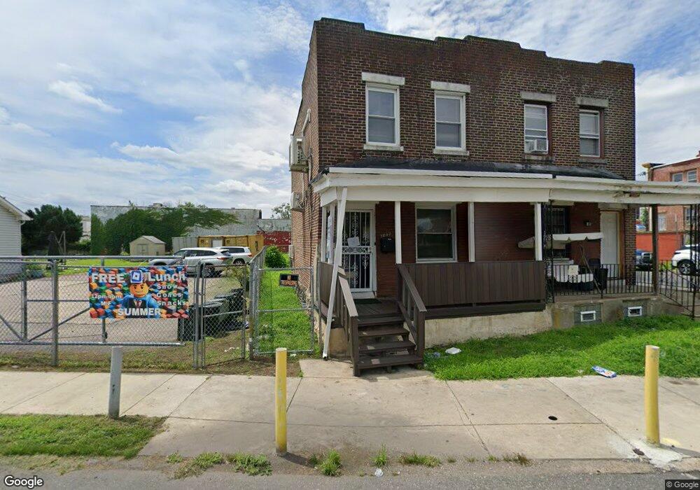
1802 Pratt St Philadelphia, PA 19124
Frankford NeighborhoodEstimated Value: $170,000 - $182,000
2
Beds
1
Bath
1,152
Sq Ft
$153/Sq Ft
Est. Value
About This Home
This home is located at 1802 Pratt St, Philadelphia, PA 19124 and is currently estimated at $176,113, approximately $152 per square foot. 1802 Pratt St is a home located in Philadelphia County with nearby schools including Harding Warren G Middle School, Frankford High School, and Mastery Schools Smedley Elementary.
Ownership History
Date
Name
Owned For
Owner Type
Purchase Details
Closed on
Jul 27, 2016
Sold by
Chisar Ion and Chisar Victoria
Bought by
The Frankford Group Llc
Current Estimated Value
Purchase Details
Closed on
Apr 2, 1997
Sold by
Hud
Bought by
Chisar Ion and Chisar Victoria
Purchase Details
Closed on
Apr 4, 1996
Sold by
First Fsla Of Rochester
Bought by
Hud
Purchase Details
Closed on
Mar 18, 1996
Sold by
Green John D
Bought by
First Fsla Of Rochester
Create a Home Valuation Report for This Property
The Home Valuation Report is an in-depth analysis detailing your home's value as well as a comparison with similar homes in the area
Home Values in the Area
Average Home Value in this Area
Purchase History
| Date | Buyer | Sale Price | Title Company |
|---|---|---|---|
| The Frankford Group Llc | $35,000 | None Available | |
| Chisar Ion | $7,000 | -- | |
| Hud | -- | -- | |
| First Fsla Of Rochester | $4,100 | -- |
Source: Public Records
Tax History Compared to Growth
Tax History
| Year | Tax Paid | Tax Assessment Tax Assessment Total Assessment is a certain percentage of the fair market value that is determined by local assessors to be the total taxable value of land and additions on the property. | Land | Improvement |
|---|---|---|---|---|
| 2025 | $1,355 | $121,800 | $24,360 | $97,440 |
| 2024 | $1,355 | $121,800 | $24,360 | $97,440 |
| 2023 | $1,355 | $96,800 | $19,360 | $77,440 |
| 2022 | $1,062 | $96,800 | $19,360 | $77,440 |
| 2021 | $1,062 | $0 | $0 | $0 |
| 2020 | $1,062 | $0 | $0 | $0 |
| 2019 | $1,020 | $0 | $0 | $0 |
| 2018 | $952 | $0 | $0 | $0 |
| 2017 | $952 | $0 | $0 | $0 |
| 2016 | $952 | $0 | $0 | $0 |
| 2015 | $6,644 | $0 | $0 | $0 |
| 2014 | -- | $68,000 | $9,860 | $58,140 |
| 2012 | -- | $5,536 | $644 | $4,892 |
Source: Public Records
Map
Nearby Homes
- 4952 Charles St
- 5009 Hawthorne St
- 4942 Mulberry St
- 4938 Mulberry St
- 5201 Hawthorne St
- 5236 Marlowe St
- 4669 Mulberry St
- 4943 Duffield St
- 1932 Granite St
- 5335 Charles St
- 1784 Brill St
- 1728 Scattergood St
- 1818 Harrison St
- 1724 Harrison St
- 1651 Conklin St
- 1934 Harrison St
- 1936 Harrison St
- 1665 Bridge St
- 1644 Granite St
- 4843 Duffield St
- 1800 Pratt St
- 5105 Marlowe St
- 5103 Marlowe St
- 5101 Marlowe St
- 5107 Marlowe St
- 5109 Marlowe St
- 1804 Pratt St
- 5037 Mulberry St
- 5037-43 Mulberry St
- 5048 Charles St
- 5201 Marlowe St
- 5203 Marlowe St
- 5046 Charles St
- 5042 Charles St
- 5044 Charles St
- 5102 Marlowe St
- 5104 Marlowe St
- 5205 Marlowe St
- 5106 Marlowe St
- 5100 Marlowe St